

MyTopo
Classic USGS Wilson Peak Utah 7.5'x7.5' Topo Map
Regular price
$16.95
Regular price
Sale price
$16.95
Unit price
per
Couldn't load pickup availability
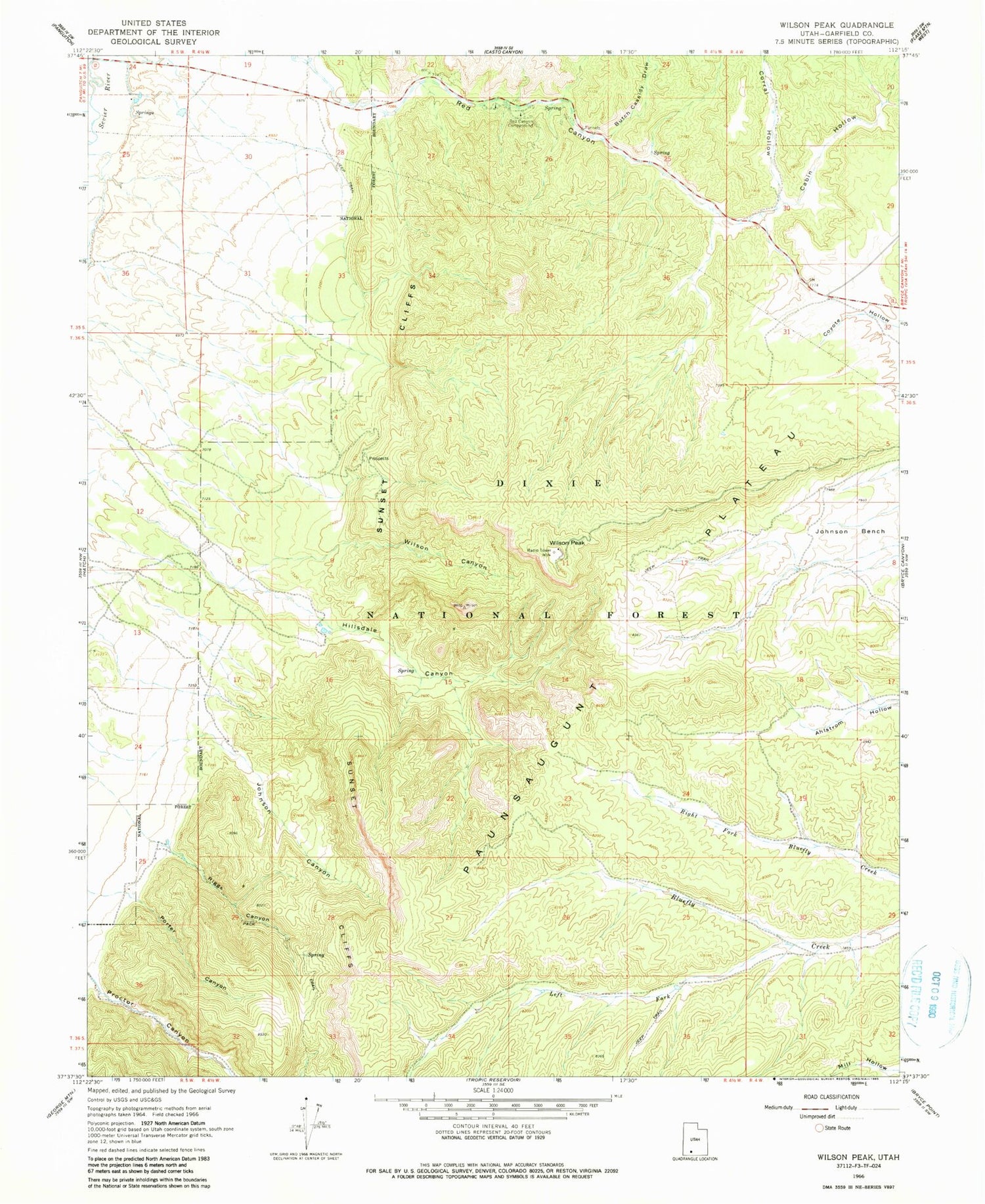
Historical USGS topographic quad map of Wilson Peak in the state of Utah. Map scale may vary for some years, but is generally around 1:24,000. Print size is approximately 24" x 27"
This quadrangle is in the following counties: Garfield.
The map contains contour lines, roads, rivers, towns, and lakes. Printed on high-quality waterproof paper with UV fade-resistant inks, and shipped rolled.
Contains the following named places: Butch Cassidy Draw, Cabin Hollow, Corral Hollow, Hillsdale Canyon, Johnson Canyon, Left Fork Blue Fly Creek, Porter Canyon, Proctor Canyon, Red Canyon, Red Canyon Campground, Riggs Canyon, Wilson Canyon, Wilson Peak


