MyTopo
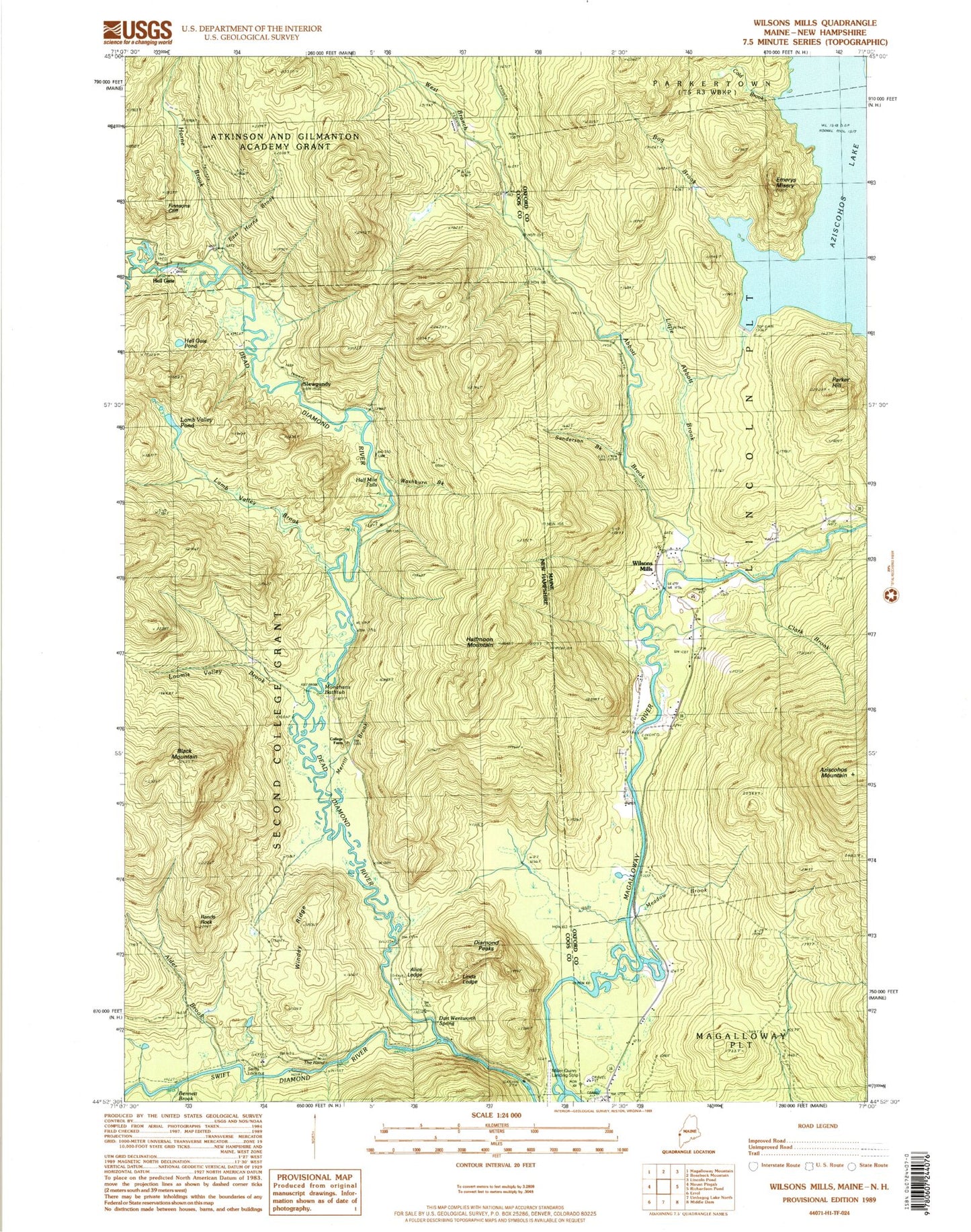
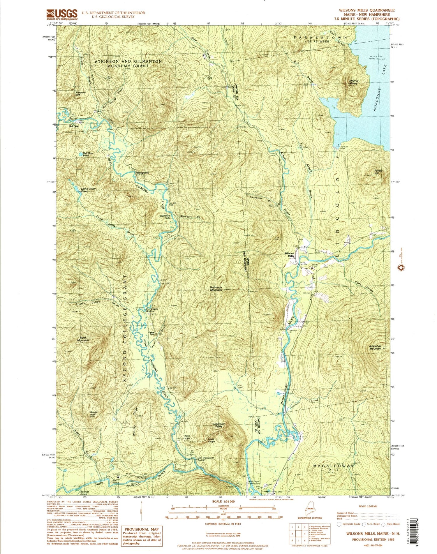
Classic USGS Wilsons Mills Maine 7.5'x7.5' Topo Map
Couldn't load pickup availability
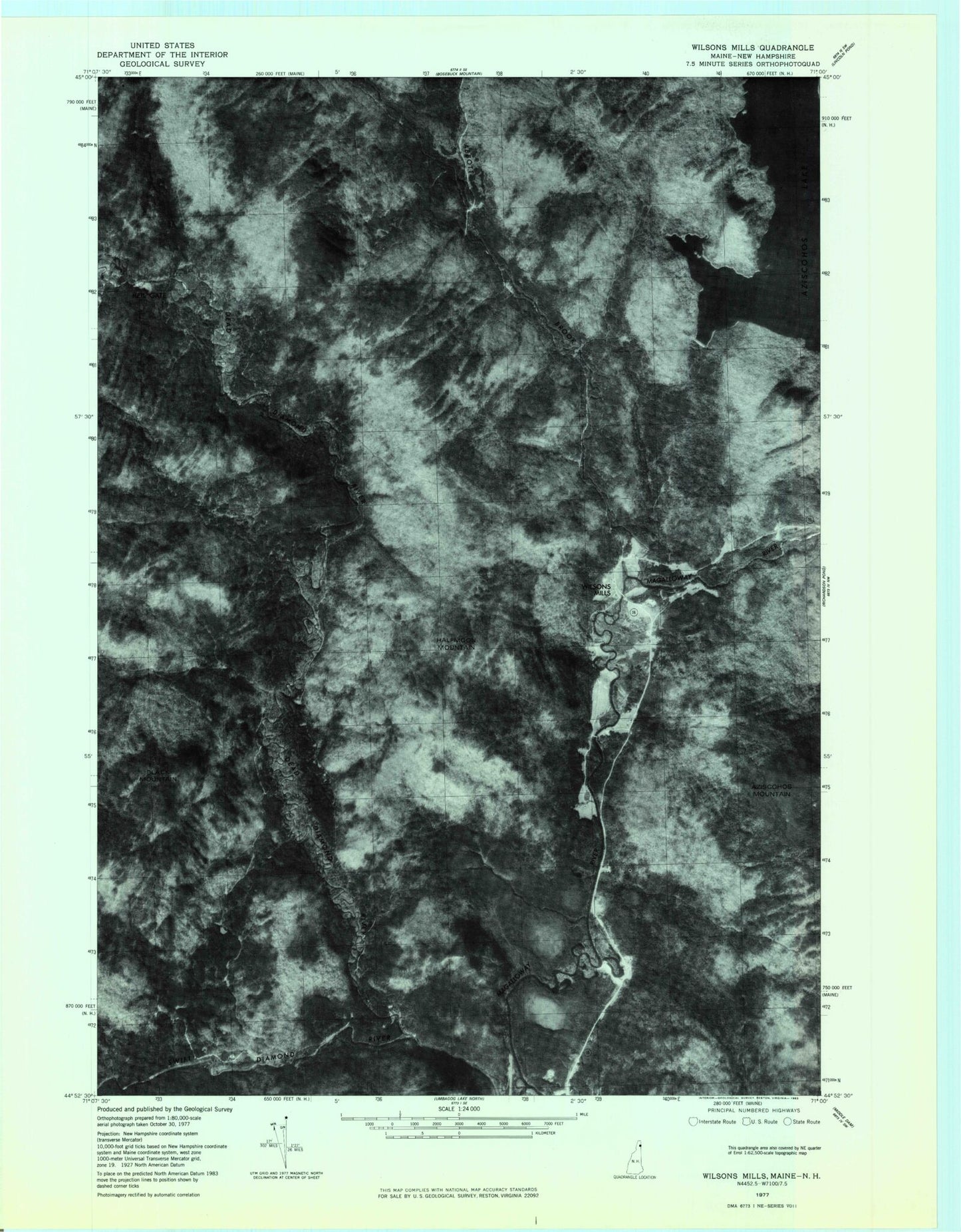
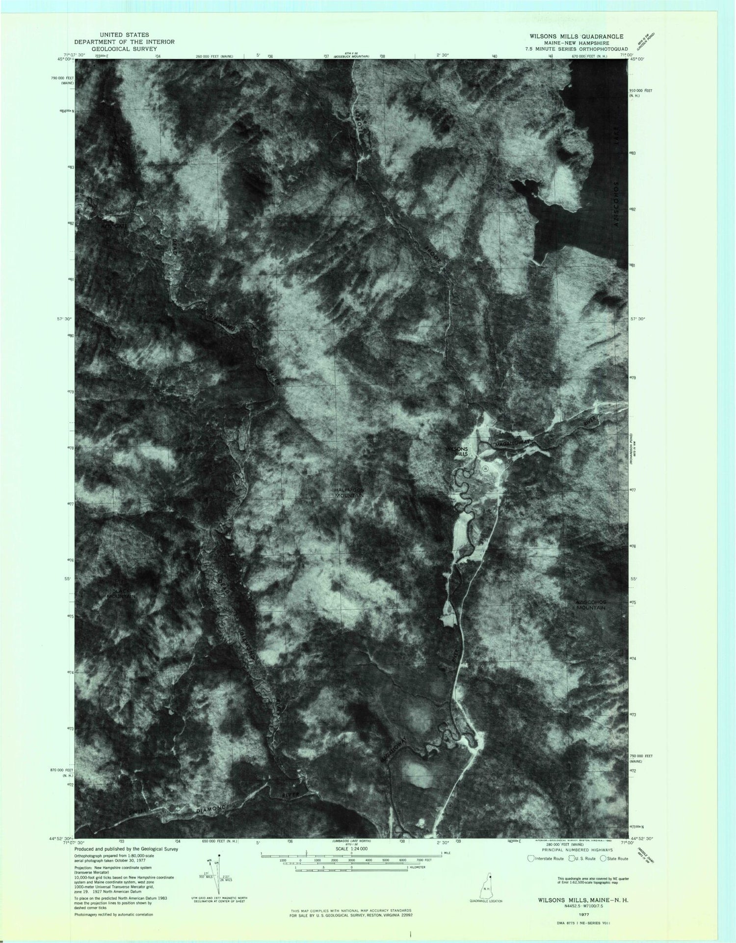
Historical USGS topographic quad map of Wilsons Mills in the states of Maine, New Hampshire. Typical map scale is 1:24,000, but may vary for certain years, if available. Print size: 24" x 27"
This quadrangle is in the following counties: Coos, Oxford.
The map contains contour lines, roads, rivers, towns, and lakes. Printed on high-quality waterproof paper with UV fade-resistant inks, and shipped rolled.
Contains the following named places: Abbott Brook, Aziscohos Lake, Aziscohos Mountain, Bennett Brook, Bog Brook, Clark Brook, Cold Brook, Emerys Misery, Little Abbott Brook, Parker Hill, Sanderson Brook, Meadow Brook, Wilsons Mills, Abbott Brook Dike, Bennett Bridge, Wilsons Mills Post Office, Wilsons Mills Fire Department, Magalloway Fire Department, Lincoln Plantation Cemetery, Alder Brook, Bennett Brook, Black Mountain, College Farm, Dead Diamond River, Diamond Peaks, East Horne Brook, Halfmoon Mountain, Hell Gate, Horne Brook, Lamb Valley Brook, Lamb Valley Pond, Little Dead Diamond River, Loomis Valley Brook, Merrill Brook, Swift Diamond River, West Branch Abbott Brook, Sams Lookout, Rands Rock, Windey Ridge, Alice Ledge, Linda Ledge, Dart Wentworth Spring, Miller-Quinn Landing Strip (historical), Monahans Bathtub, Stoddards Cabin, Washburn Brook, Slewgundy, Hell Gate Pond, Finnsons Cliff, Atkinson and Gilmanton Academy Grant, Second College Grant, The Hand