MyTopo
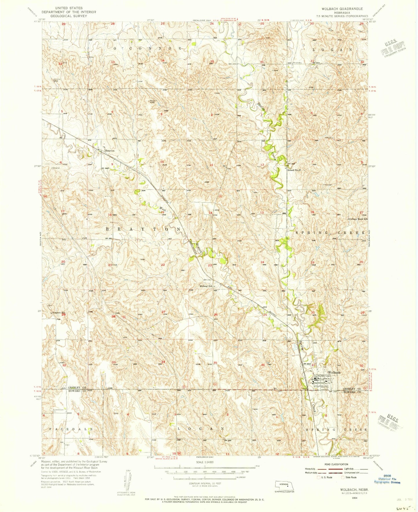
Classic USGS Wolbach Nebraska 7.5'x7.5' Topo Map
Couldn't load pickup availability
Historical USGS topographic quad map of Wolbach in the state of Nebraska. Map scale may vary for some years, but is generally around 1:24,000. Print size is approximately 24" x 27"
This quadrangle is in the following counties: Greeley, Howard.
The map contains contour lines, roads, rivers, towns, and lakes. Printed on high-quality waterproof paper with UV fade-resistant inks, and shipped rolled.
Contains the following named places: Brayton, Brayton Post Office, College Knob School, Dino Mini Park, Farmers Union Co-op Elevator, Hillside Cemetery, Midway School, Saint Josephs Catholic Church, School Number 37, Stone Dam, Stone Reservoir, Summit Cemetery, Summit Post Office, Summit School, Township of Brayton, Village of Wolbach, West Branch Spring Creek, Wolbach, Wolbach City Park, Wolbach Election Precinct, Wolbach Lutheran Church, Wolbach Methodist Church, Wolbach Number 1 Election Precinct, Wolbach Police Department, Wolbach Post Office, Wolbach Public Library, Wolbach Public Schools, Wolbach Volunteer Fire and Rescue, ZIP Code: 68882