MyTopo
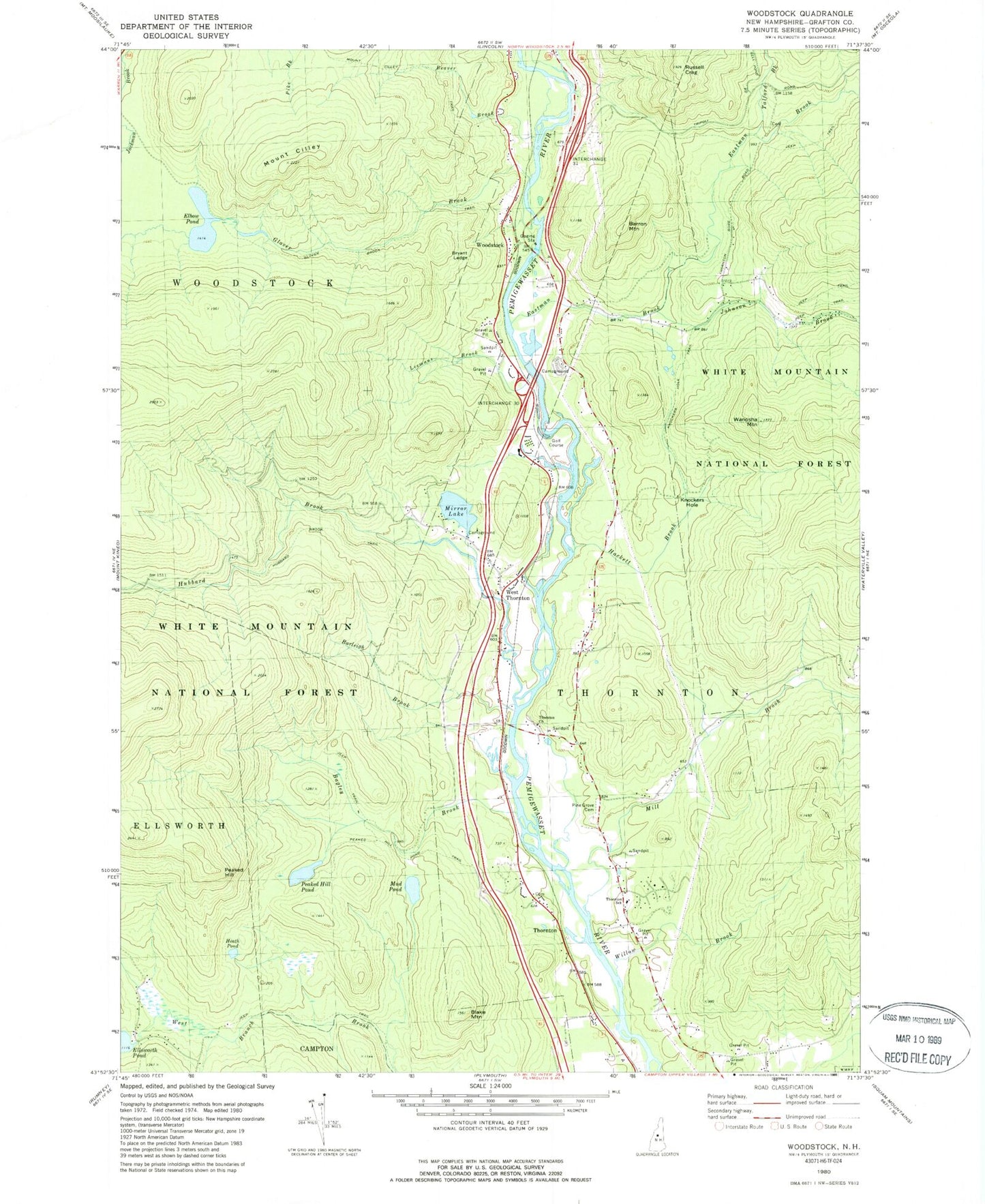
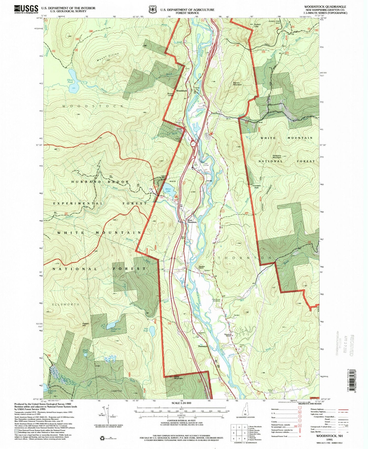
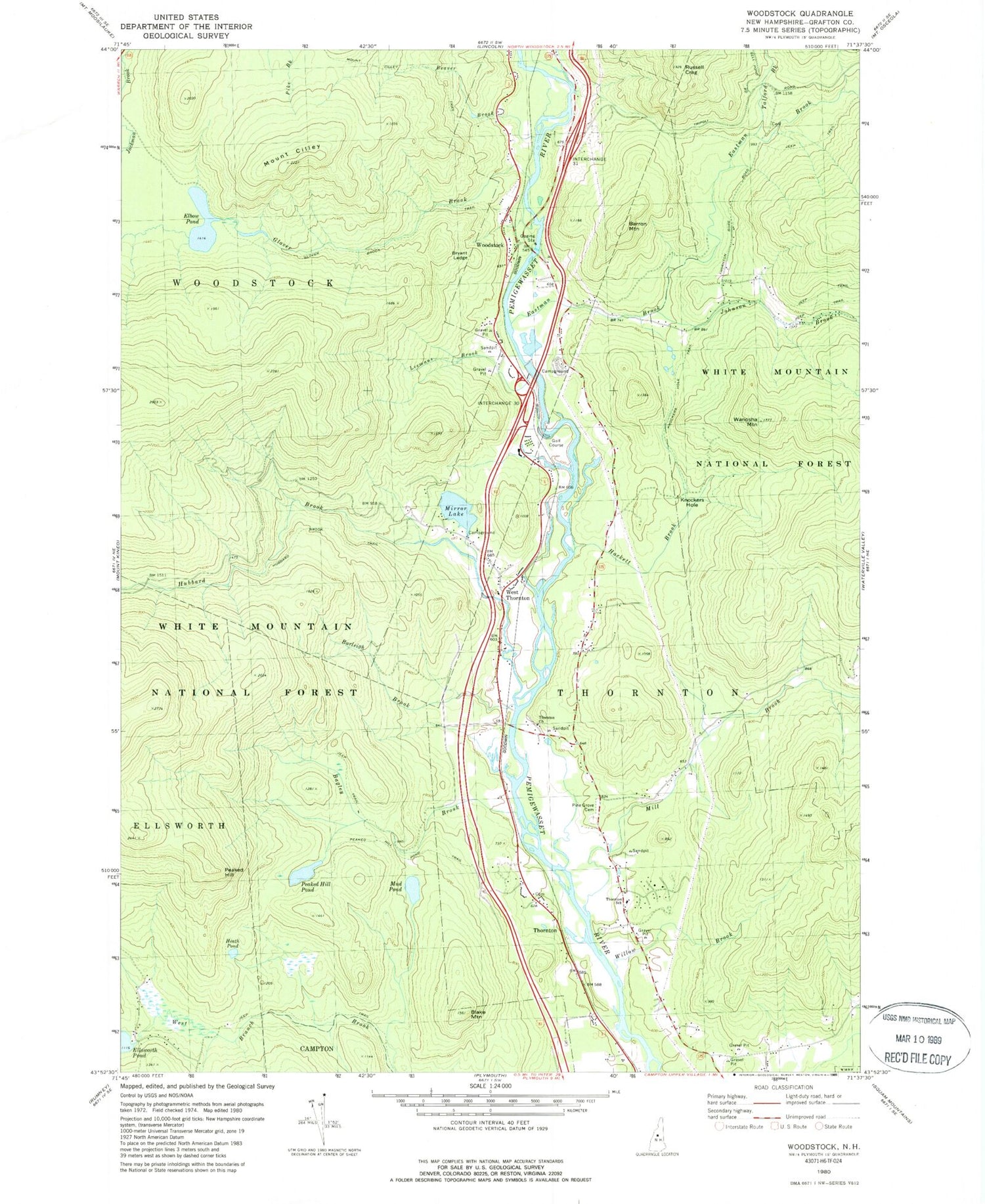
Classic USGS Woodstock New Hampshire 7.5'x7.5' Topo Map
Couldn't load pickup availability
Historical USGS topographic quad map of Woodstock in the state of New Hampshire. Typical map scale is 1:24,000, but may vary for certain years, if available. Print size: 24" x 27"
This quadrangle is in the following counties: Grafton.
The map contains contour lines, roads, rivers, towns, and lakes. Printed on high-quality waterproof paper with UV fade-resistant inks, and shipped rolled.
Contains the following named places: Bagley Brook, Barron Mountain, Beaver Brook, Blake Mountain, Brown Brook, Bryant Ledge, Burleigh Brook, Mount Cilley, Eastman Brook, Elbow Pond, Glover Brook, Heath Pond, Hubbard Brook, Hubbard Brook Trail, Johnson Brook, Knockers Hole, Leemans Brook, Mill Brook, Mill Brook Cascade, Mirror Lake, Mud Pond, Peaked Hill, Peaked Hill Pond, Pine Grove Cemetery, Russell Pond Brook, Talford Brook, Thornton, Thornton Central School, Thornton School, Wanosha Mountain, West Thornton, Willow Brook, Woodstock, Peaked Hill Pond Trail, Glover Brook Trail, KOA Campground, Knockers Hole Trail, Thorton Church, Bradley Field, Town of Thornton, Town of Woodstock, Mirror Lake Dam, Jack O'Lantern Golf Course, Pemi Valley Church, Thornton Civilian Conservation Corps Camp (historical), Woodstock Fire Department Station 2 Lower Station, Campton - Thornton Fire Department Station 2, Thornton Police Department