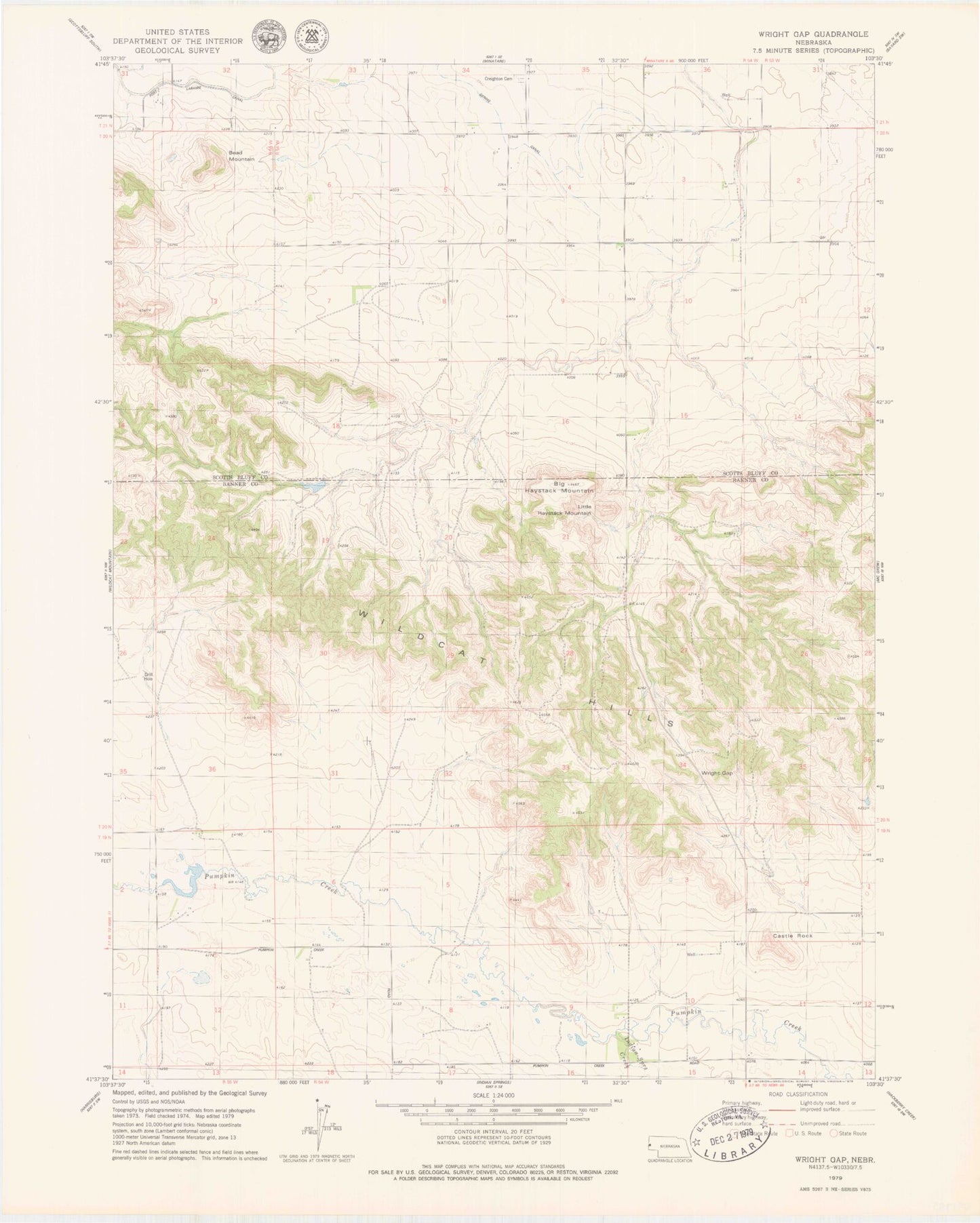
MyTopo
Classic USGS Wright Gap Nebraska 7.5'x7.5' Topo Map
Couldn't load pickup availability
Historical USGS topographic quad map of Wright Gap in the state of Nebraska. Typical map scale is 1:24,000, but may vary for certain years, if available. Print size: 24" x 27"
This quadrangle is in the following counties: Banner, Scotts Bluff.
The map contains contour lines, roads, rivers, towns, and lakes. Printed on high-quality waterproof paper with UV fade-resistant inks, and shipped rolled.
Contains the following named places: Indian Springs Creek, Wright Gap, Corr Airport, Brashear Group Dam, Brashear Group Reservoir, Cannell Dam East, Cannell Reservoir East, Cannell Dam West, Cannell Reservoir West, Darrell Roberts Dam, Darrell Roberts Reservoir, Bead Mountain, Creighton Valley Cemetery, Castle Rock, Little Haystack Mountain, Big Haystack Mountain, Castle Rock Election Precinct