MyTopo
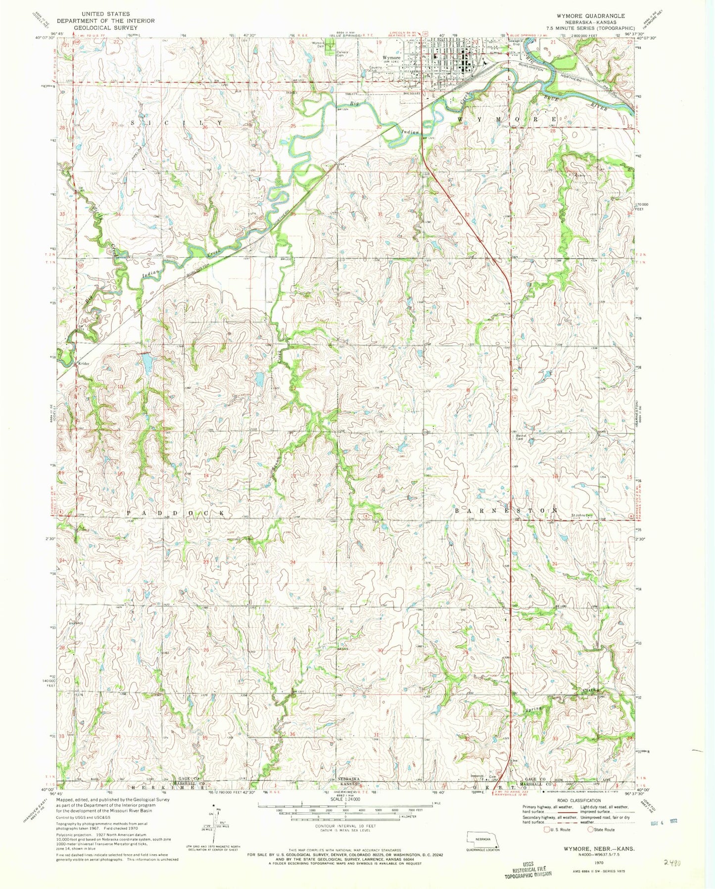
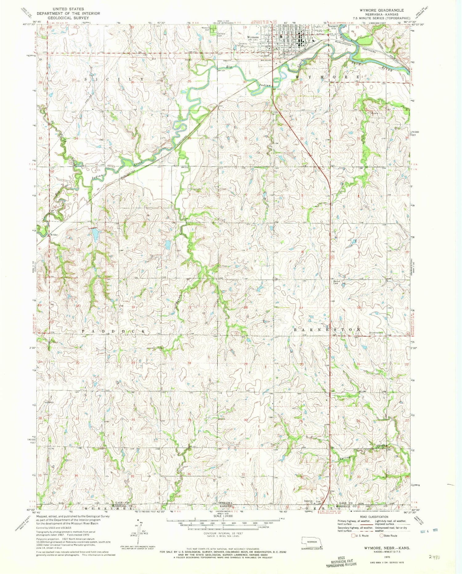
Classic USGS Wymore Nebraska 7.5'x7.5' Topo Map
Couldn't load pickup availability
Historical USGS topographic quad map of Wymore in the state of Nebraska. Map scale may vary for some years, but is generally around 1:24,000. Print size is approximately 24" x 27"
This quadrangle is in the following counties: Gage, Marshall.
The map contains contour lines, roads, rivers, towns, and lakes. Printed on high-quality waterproof paper with UV fade-resistant inks, and shipped rolled.
Contains the following named places: Bethel Cemetery, Big Indian Creek, Big Indian Creek Dam 11-A, Big Indian Creek Dam 11-B, Big Indian Creek Dam 2-A, Big Indian Creek Dam 2-B, Big Indian Creek Reservoir 11-A, Big Indian Creek Reservoir 11-B, Big Indian Creek Reservoir 2-A, Big Indian Creek Reservoir 2-B, Calvary Cemetery, City of Wymore, Community Physicians Clinic, Immanuel State Line Lutheran Church, Krider, Otoe Creek, Saint Johns Lutheran Cemetery, Saint Josephs Catholic Church, Saint Peters Lutheran Church, Sicily Creek, Southern High School, Thomsen Airport, Township of Barneston, Township of Paddock, United Methodist Church, Vitosh Reservoir, Wymore, Wymore Cemetery, Wymore Country Club, Wymore Good Samaritan Center, Wymore Medical Clinic, Wymore Police Department, Wymore Post Office, Wymore Public Library, Wymore Volunteer Fire and Rescue Department, ZIP Code: 68466