MyTopo
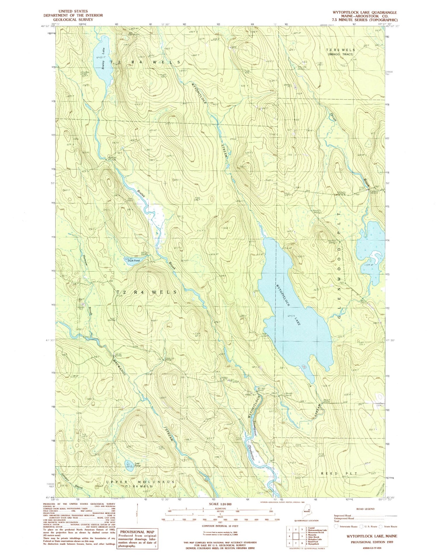
Classic USGS Wytopitlock Lake Maine 7.5'x7.5' Topo Map
Regular price
$16.95
Regular price
Sale price
$16.95
Unit price
per
Couldn't load pickup availability
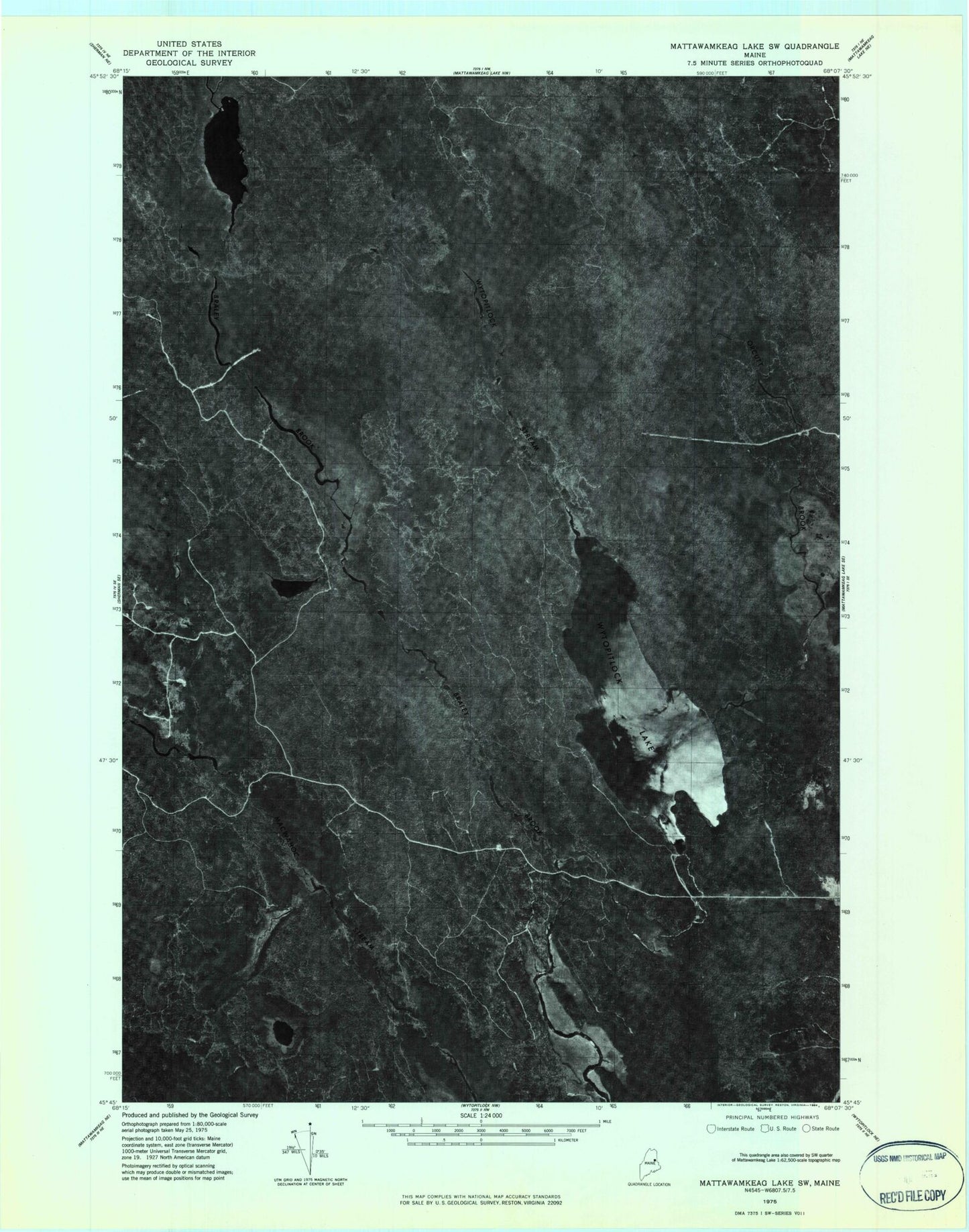
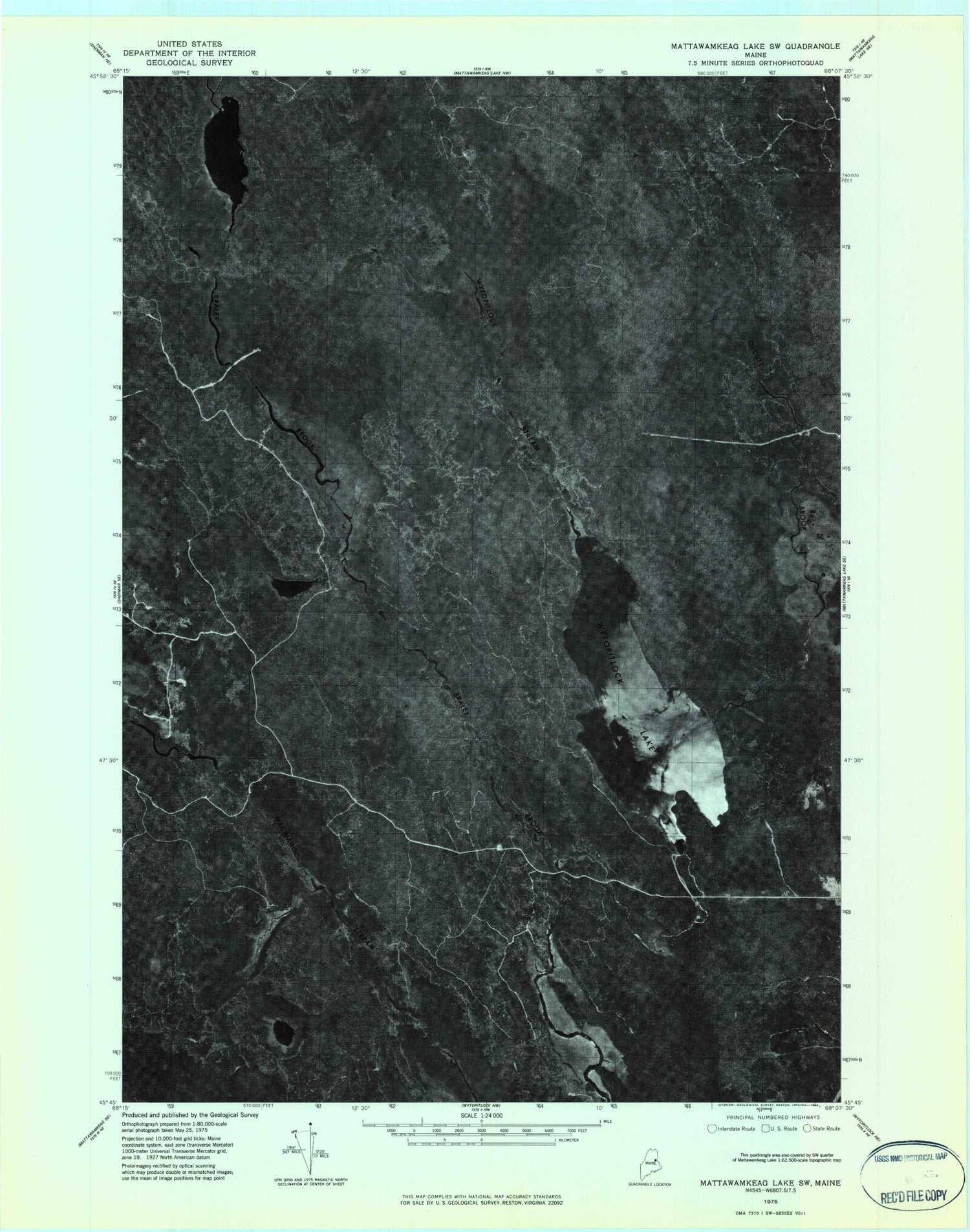
Historical USGS topographic quad map of Wytopitlock Lake in the state of Maine. Map scale may vary for some years, but is generally around 1:24,000. Print size is approximately 24" x 27"
This quadrangle is in the following counties: Aroostook.
The map contains contour lines, roads, rivers, towns, and lakes. Printed on high-quality waterproof paper with UV fade-resistant inks, and shipped rolled.
Contains the following named places: Braley Brook, Braley Lake, Duck Pond, Hemore Brook, Long Dam, Lost Pond, Moores Dam, Orcutt Brook, Pierce Cemetery, T2 R4 WELS, Thompson Deadwater, Unorganized Territory of South Aroostook, Wytopitlock Lake