MyTopo
Classic USGS Wytopitlock Maine 7.5'x7.5' Topo Map
Couldn't load pickup availability
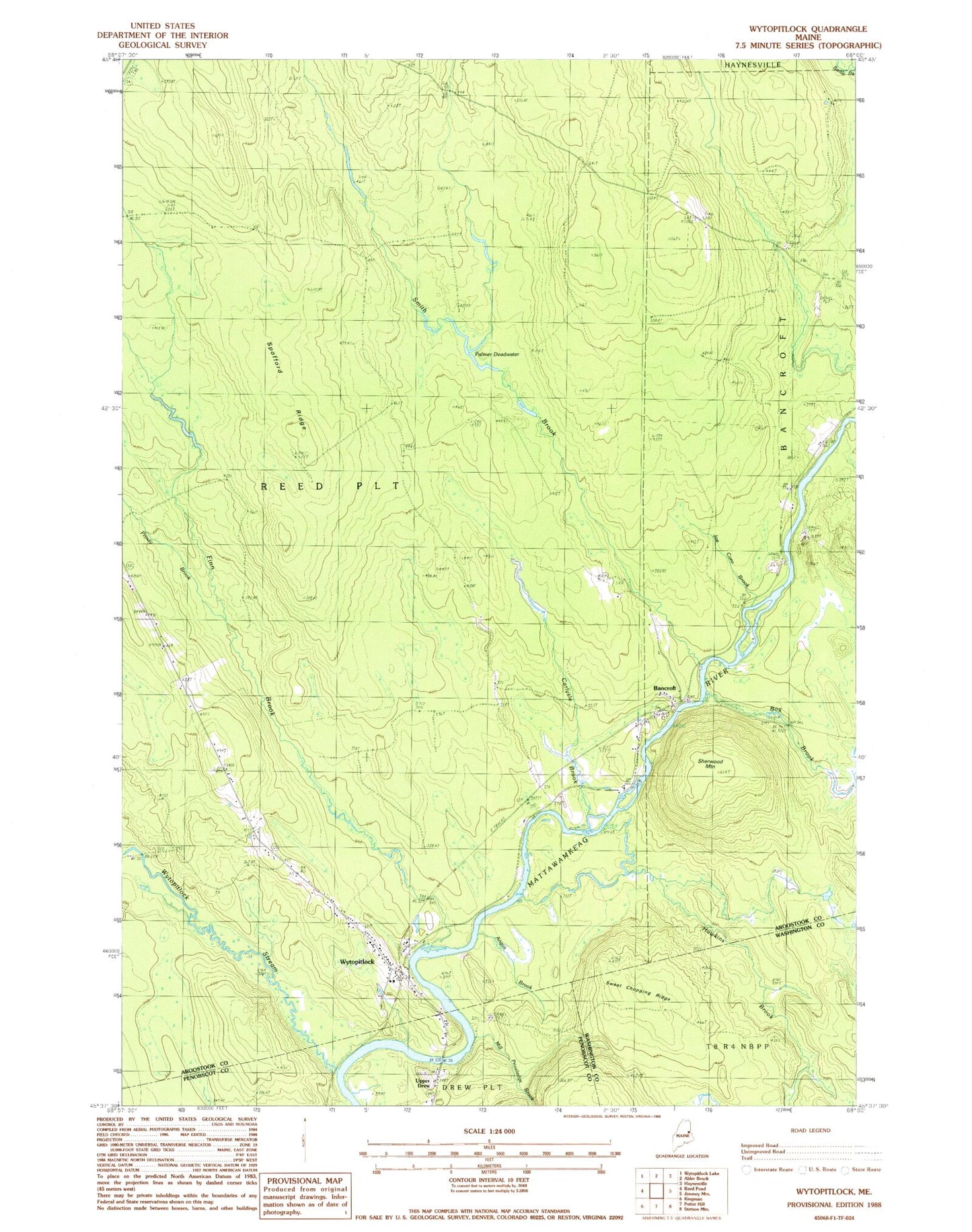
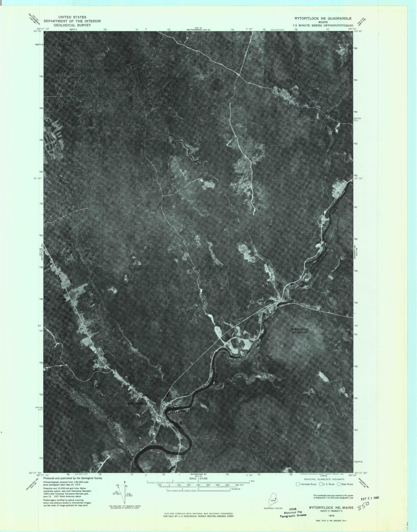
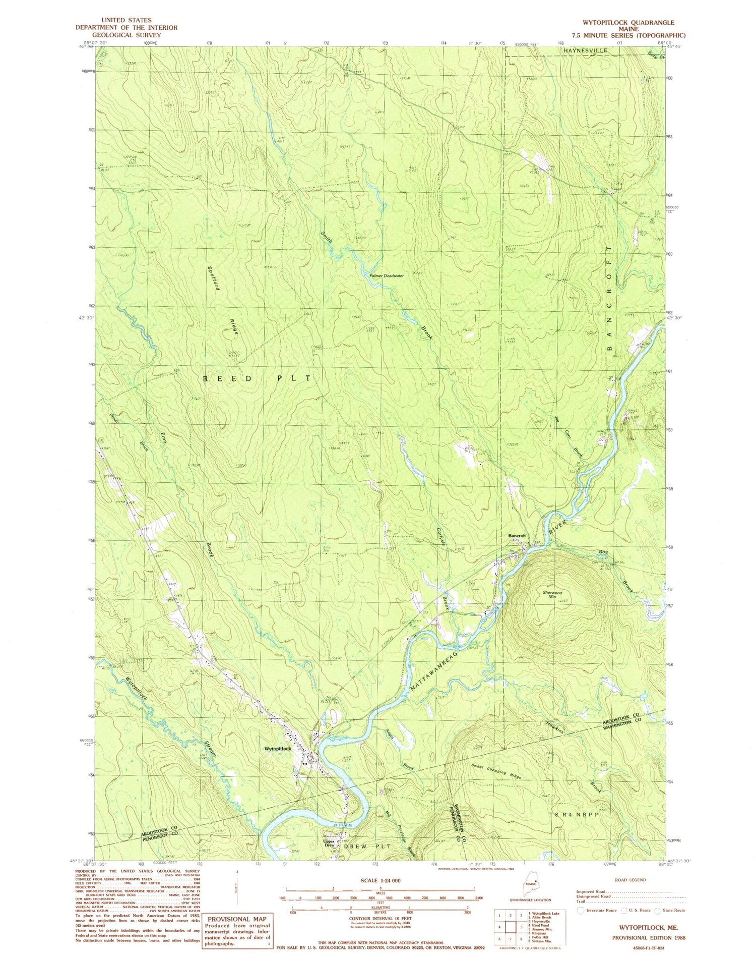
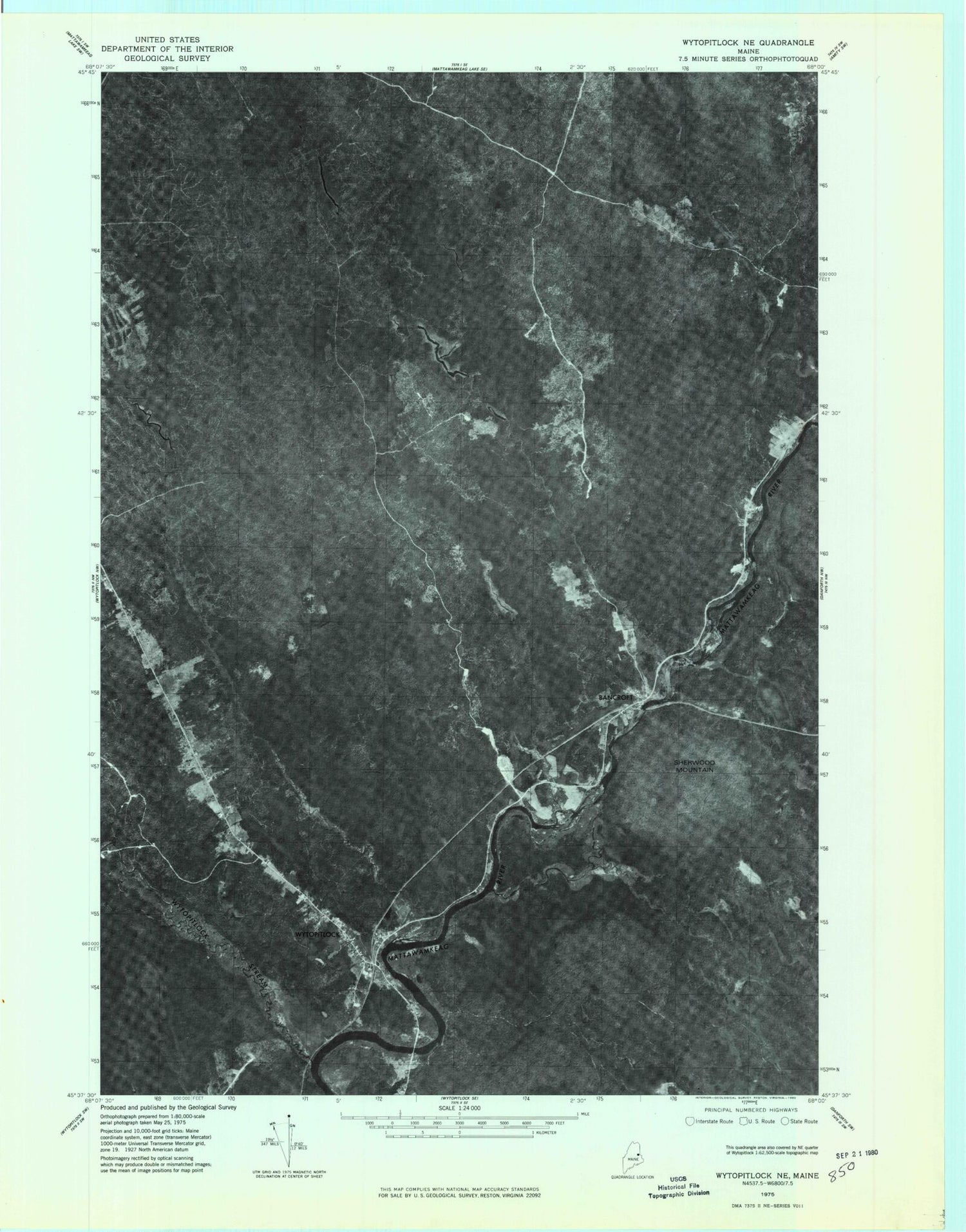
Historical USGS topographic quad map of Wytopitlock in the state of Maine. Map scale may vary for some years, but is generally around 1:24,000. Print size is approximately 24" x 27"
This quadrangle is in the following counties: Aroostook, Penobscot, Washington.
The map contains contour lines, roads, rivers, towns, and lakes. Printed on high-quality waterproof paper with UV fade-resistant inks, and shipped rolled.
Contains the following named places: Angus Brook, Bancroft, Bog Brook, Carlysle Brook, Drew School, Finn Brook, Hawkins Brook, Joe Coro Brook, Knoxville School, Mill Priveledge Brook, Palmer Deadwater, Plantation of Reed, Prouty Brook, Sherwood Mountain, Smith Brook, Spofford Ridge, Sweet Chopping Ridge, Upper Drew, Wytopitlock, Wytopitlock Cemetery, Wytopitlock Elementary School, Wytopitlock Post Office, Wytopitlock Stream