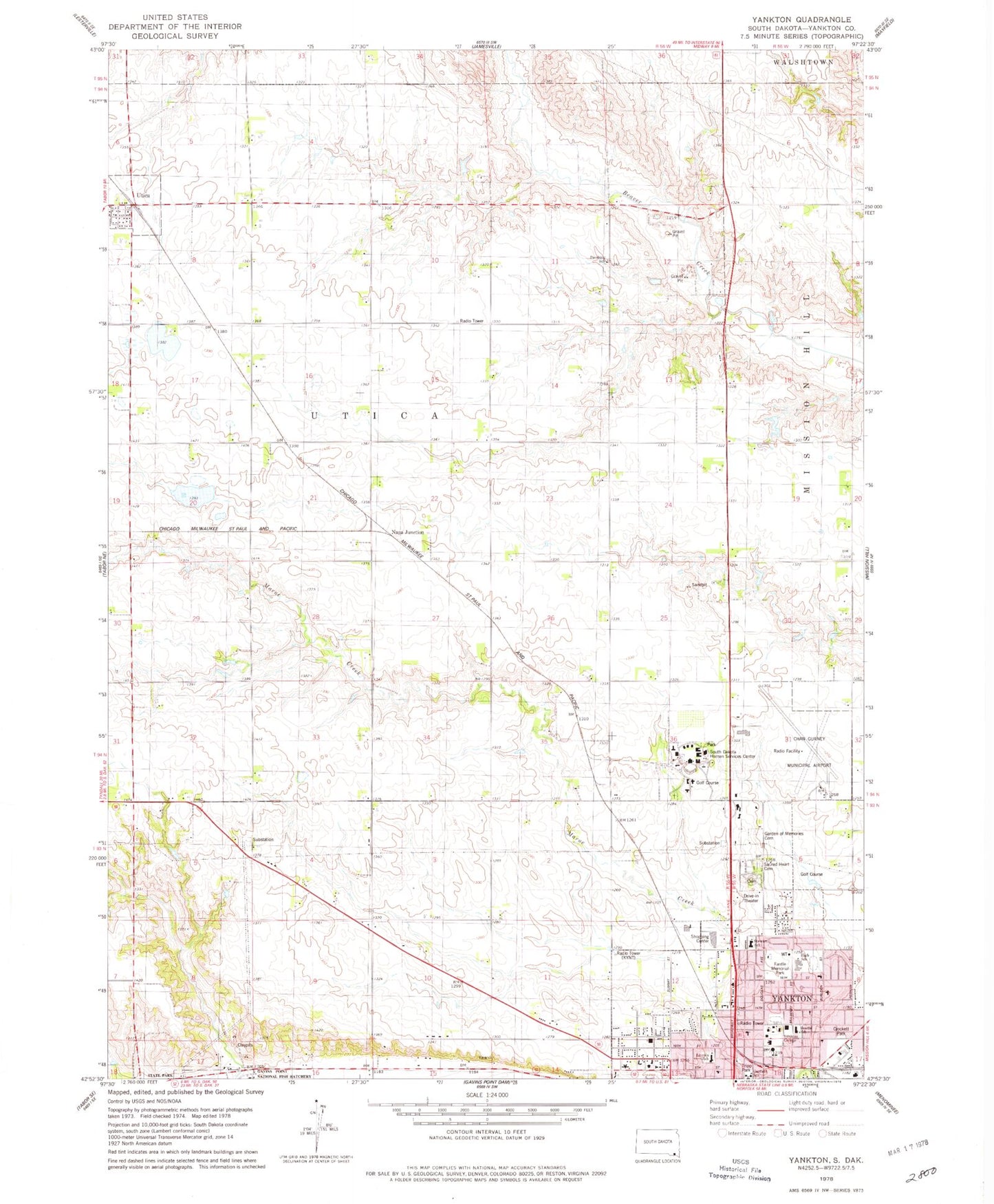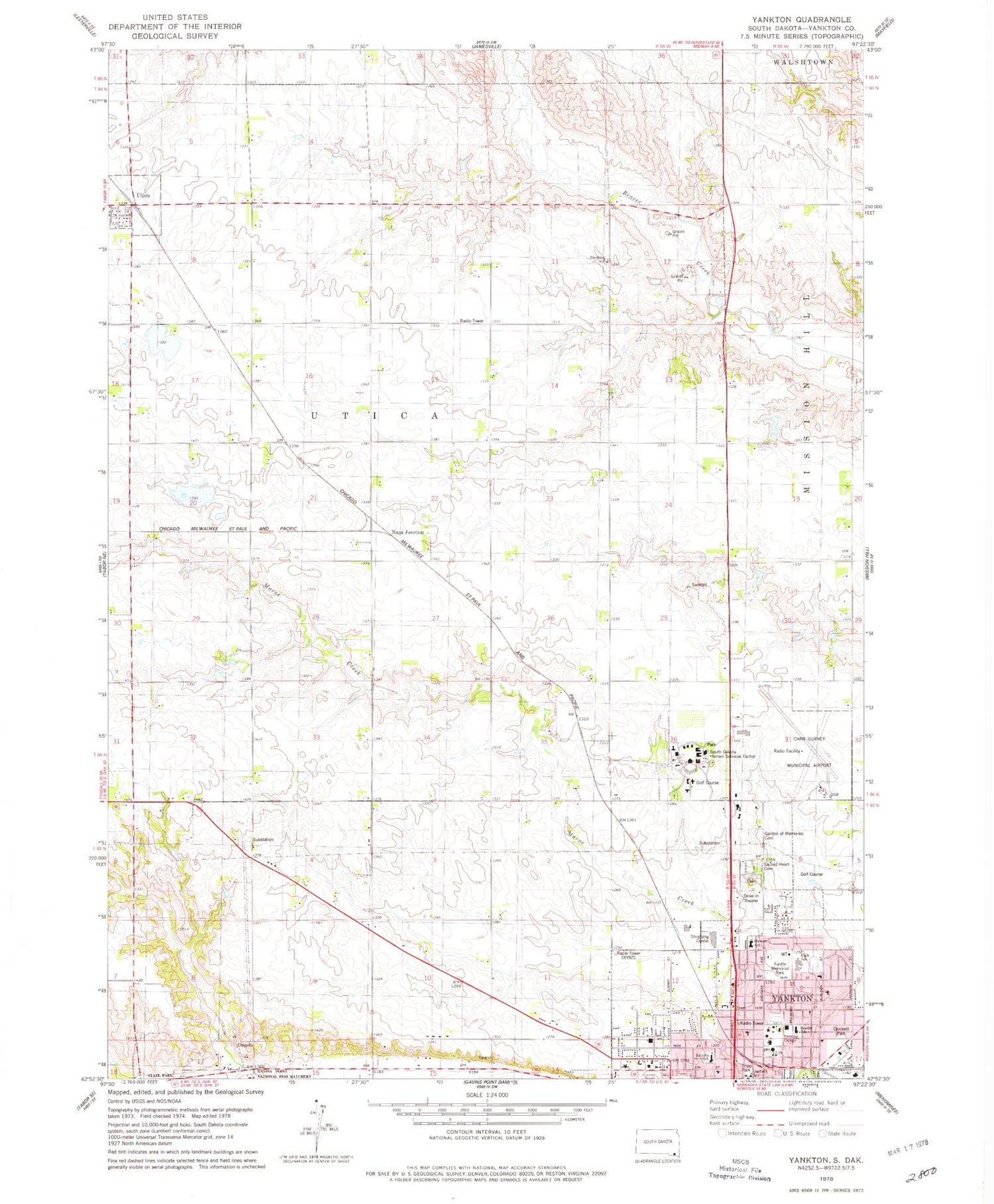
MyTopo
Classic USGS Yankton South Dakota 7.5'x7.5' Topo Map
Couldn't load pickup availability
Historical USGS topographic quad map of Yankton in the state of South Dakota. Map scale may vary for some years, but is generally around 1:24,000. Print size is approximately 24" x 27"
This quadrangle is in the following counties: Yankton.
The map contains contour lines, roads, rivers, towns, and lakes. Printed on high-quality waterproof paper with UV fade-resistant inks, and shipped rolled.
Contains the following named places: Beadle Elementary School, Chan Gurney Municipal Airport, City of Yankton, Crockett Park, Fantle Memorial Park, Garden of Memories Cemetery, Garfield School, KYNT-AM (Yankton), Laddie E Cimpl Arena, Lewis and Clark Specialty Hospital, Lincoln Elementary School, Missouri Valley Christian Academy, Napa Junction, Old Library Gym, Pershing School, Sacred Heart Cemetery, Sacred Heart Elementary School, South Dakota Hospital For The Insane, South Dakota Human Services Center, State Hospital Cemetery, Stewart Elementary School, Town of Utica, Township of Utica, Tripp Park, Utica, Utica Post Office, Yankton City Cemetery, Yankton College, Yankton County Emergency Medical Services, Yankton High School, Yankton Mall, Yankton Middle School, Yankton Plaza, Yankton Post Office, ZIP Code: 57078