MyTopo
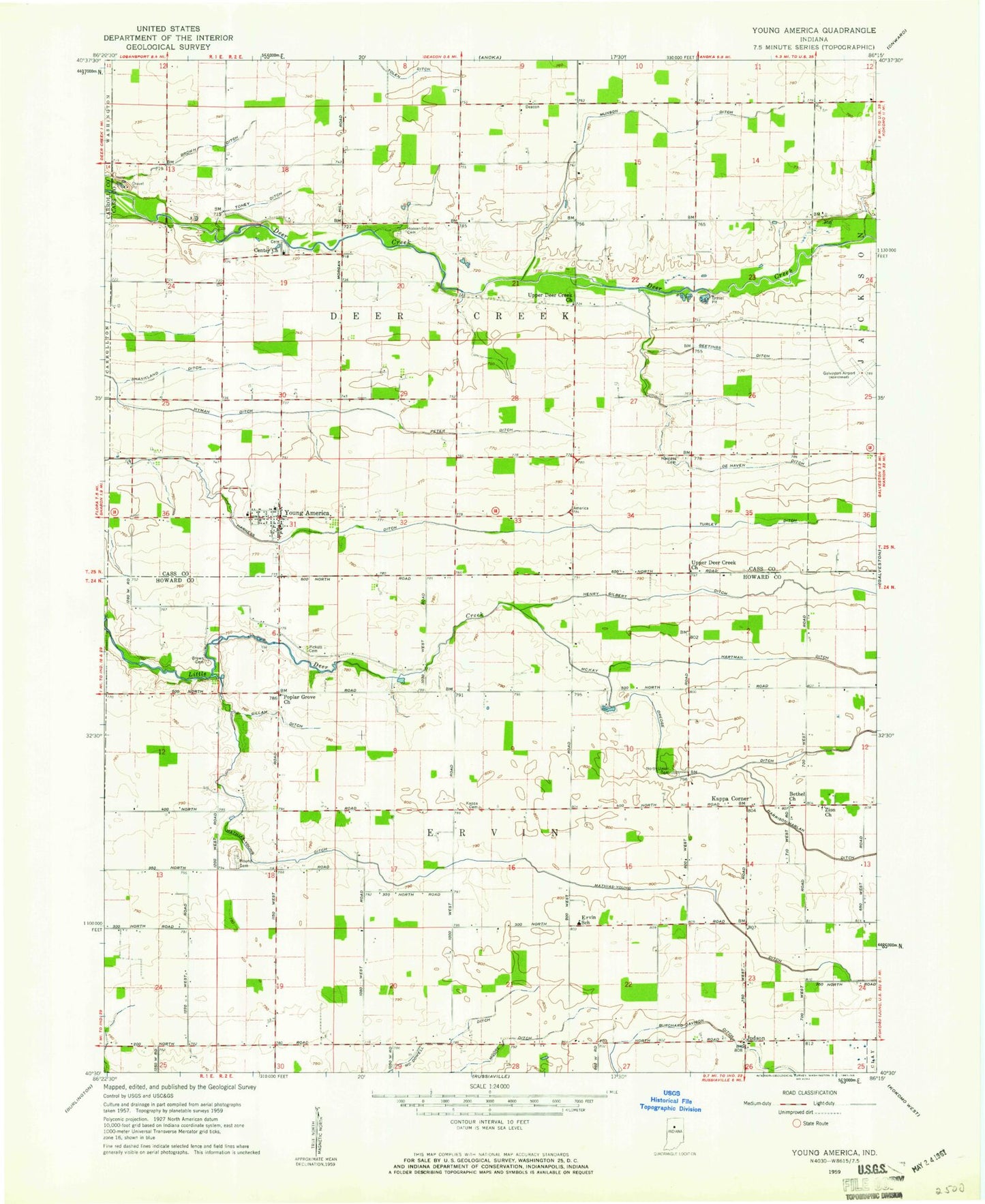
Classic USGS Young America Indiana 7.5'x7.5' Topo Map
Couldn't load pickup availability
Historical USGS topographic quad map of Young America in the state of Indiana. Map scale may vary for some years, but is generally around 1:24,000. Print size is approximately 24" x 27"
This quadrangle is in the following counties: Carroll, Cass, Howard.
The map contains contour lines, roads, rivers, towns, and lakes. Printed on high-quality waterproof paper with UV fade-resistant inks, and shipped rolled.
Contains the following named places: Bethel Church, Brown Cemetery, Brown Ditch, Center Church, De Haven Ditch, Ervin Elementary School, Galveston Airport, Geetings Ditch, Gillam Ditch, Harness Cemetery, Harness Ditch, Hartman Ditch, Henry Gilbert Ditch, Hoover Snider Cemetery, Hyman Ditch, Judson, Kappa Cemetery, Kappa Corner, Mathias Young Ditch, McDowell Ditch, Moore Ditch, Mound Cemetery, Munson Ditch, North Union Cemetery, Peter Ditch, Pickett Cemetery, Poplar Grove, Poplar Grove Church, Shankland Ditch, Township of Deer Creek, Township of Ervin, Turley Ditch, Upper Deer Creek Church, Young America, Young America Volunteer Fire Department, Zion Church, ZIP Codes: 46932, 46998