MyTopo
Classic USGS Zearing Iowa 7.5'x7.5' Topo Map
Couldn't load pickup availability
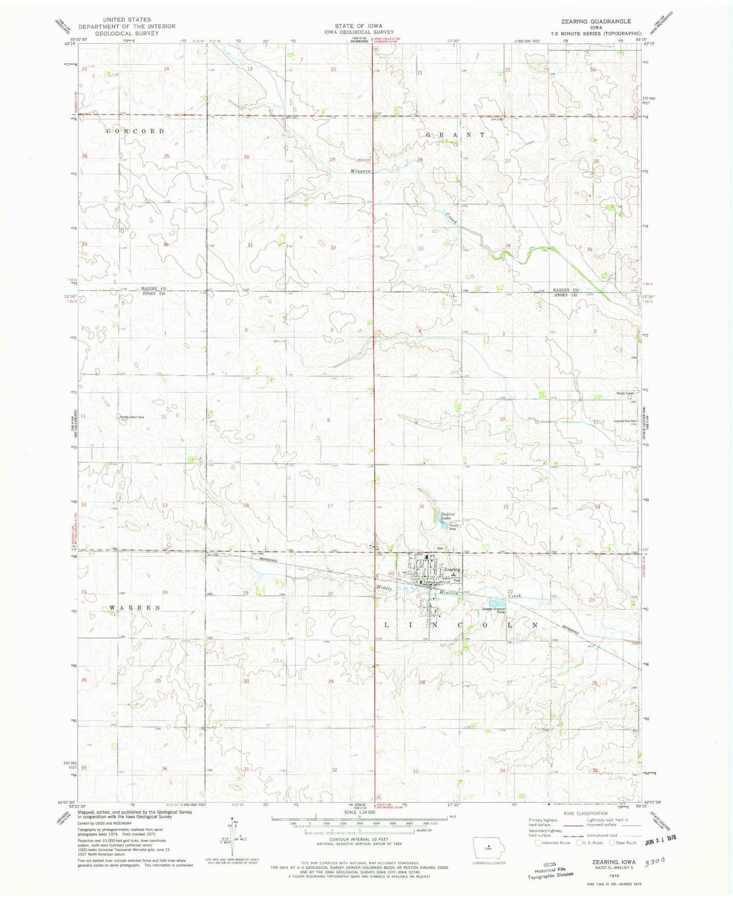
Historical USGS topographic quad map of Zearing in the state of Iowa. Map scale may vary for some years, but is generally around 1:24,000. Print size is approximately 24" x 27"
This quadrangle is in the following counties: Hardin, Story.
The map contains contour lines, roads, rivers, towns, and lakes. Printed on high-quality waterproof paper with UV fade-resistant inks, and shipped rolled.
Contains the following named places: Bethel United Methodist Church, City of Zearing, Colo - NESCO Community Elementary School, Colonial Manor of Zearing, Cornerstone Church of Christ, Dakins Lake, Dakins Lake Park, Saint Gabriel's Catholic Church, Sunset Post Office, Township of Lincoln, Veterans Memorial Field, Zearing, Zearing Cemetery, Zearing Christian Church, Zearing Fire Department, Zearing Medical Clinic, Zearing Post Office, Zearing Public Library, Zearing Town Hall, ZIP Code: 50278