MyTopo
Alder Brook Maine US Topo Map
Couldn't load pickup availability
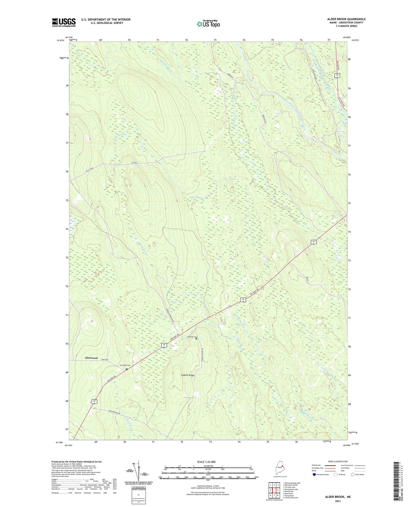
2021 topographic map quadrangle Alder Brook in the state of Maine. Scale: 1:24000. Based on the newly updated USGS 7.5' US Topo map series, this map is in the following counties: Aroostook. The map contains contour data, water features, and other items you are used to seeing on USGS maps, but also has updated roads and other features. This is the next generation of topographic maps. Printed on high-quality waterproof paper with UV fade-resistant inks.
Quads adjacent to this one:
West: Wytopitlock Lake
Northwest: Mattawamkeag Lake
North: Monument Brook
Northeast: Ten Mile Lake
East: Haynesville
Southeast: Jimmey Mountain
South: Wytopitlock
Southwest: Reed Pond
Contains the following named places: Alder Brook, Babcock Brook, Codfish Ridge, Eastman Cemetery, Glenwood, Gonya Brook, Mill Brook, Plantation of Glenwood, Twombly Cemetery, ZIP Code: 04497