MyTopo
Barren Mountain East Maine US Topo Map
Couldn't load pickup availability
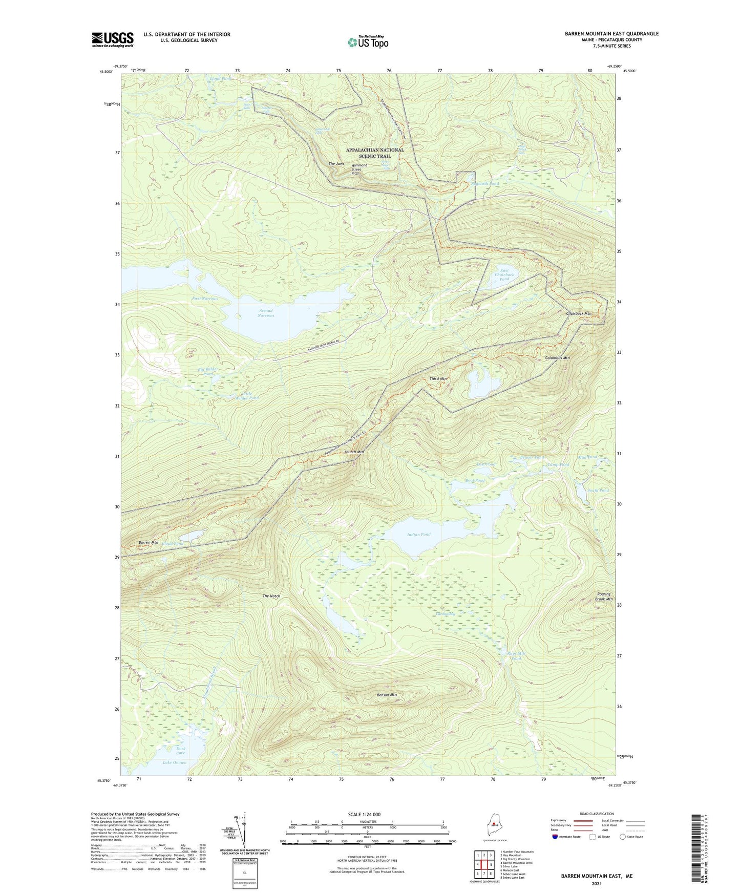
2021 topographic map quadrangle Barren Mountain East in the state of Maine. Scale: 1:24000. Based on the newly updated USGS 7.5' US Topo map series, this map is in the following counties: Piscataquis. The map contains contour data, water features, and other items you are used to seeing on USGS maps, but also has updated roads and other features. This is the next generation of topographic maps. Printed on high-quality waterproof paper with UV fade-resistant inks.
Quads adjacent to this one:
West: Barren Mountain West
Northwest: Number Four Mountain
North: Hay Mountain
Northeast: Big Shanty Mountain
East: Silver Lake
Southeast: Sebec Lake East
South: Sebec Lake West
Southwest: Monson East
Contains the following named places: Barren Mountain, Barren Mountain Lookout Tower, Bear Brook, Beaver Pond, Benson Mountain, Big Wilder Pond, Billings Falls, Boot Pond, Buttermilk Falls, Camp Pond, Caribou Bog, Chairback Mountain, Cloud Pond, Cloud Pond Brook, Columbus Mountain, Dam Pond, Duck Cove, East Chairback Pond, First Narrows, Fourth Mountain, Gulf Hagas Brook, Gulf Hagas Trail, Hammond Street Pitch, Hay Brook, Hays Brook Falls, Henderson Brook, Indian Pond, Little Wilder Pond, Lost Pond, Lower Deadwater, Lucia Pond, Mud Pond, Pugwash Pond, Rays Mill Pond, Roaring Brook Mountain, Sampson Pond, Screw Auger Falls, Second Narrows, South Pond, Stair Falls, T7 R9 NWP, The Hermitage, The Hermitage Preserve, The Jaws, The Notch, Third Mountain, West Chairback Pond, ZIP Code: 04464