MyTopo
York Ridge Maine US Topo Map
Couldn't load pickup availability
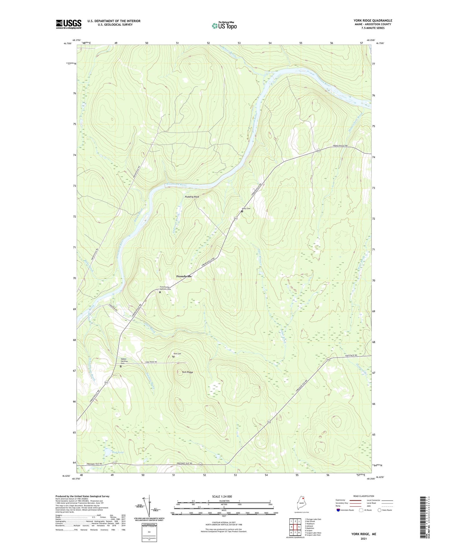
2021 topographic map quadrangle York Ridge in the state of Maine. Scale: 1:24000. Based on the newly updated USGS 7.5' US Topo map series, this map is in the following counties: Aroostook. The map contains contour data, water features, and other items you are used to seeing on USGS maps, but also has updated roads and other features. This is the next generation of topographic maps. Printed on high-quality waterproof paper with UV fade-resistant inks.
Quads adjacent to this one:
West: Ashland
Northwest: Portage Lake East
North: Bull Brook
Northeast: Washburn
East: Mapleton
Southeast: Scopan Lake East
South: Scopan Lake West
Southwest: Scopan
Contains the following named places: Alder Brook, Alley Cemetery, Anderson Brook, Beaver Brook, Blake Brook, Brown Brook, Demarchant Brook, Frenchville, Frenchville Catholic Cemetery, Gardner Brook, Mud Pond, Pudding Rock, Town of Ashland, Walker Gardiner Cemetery, York Cemetery, York Ridge