
MyTopo
Barren Island Maryland US Topo Map
Couldn't load pickup availability
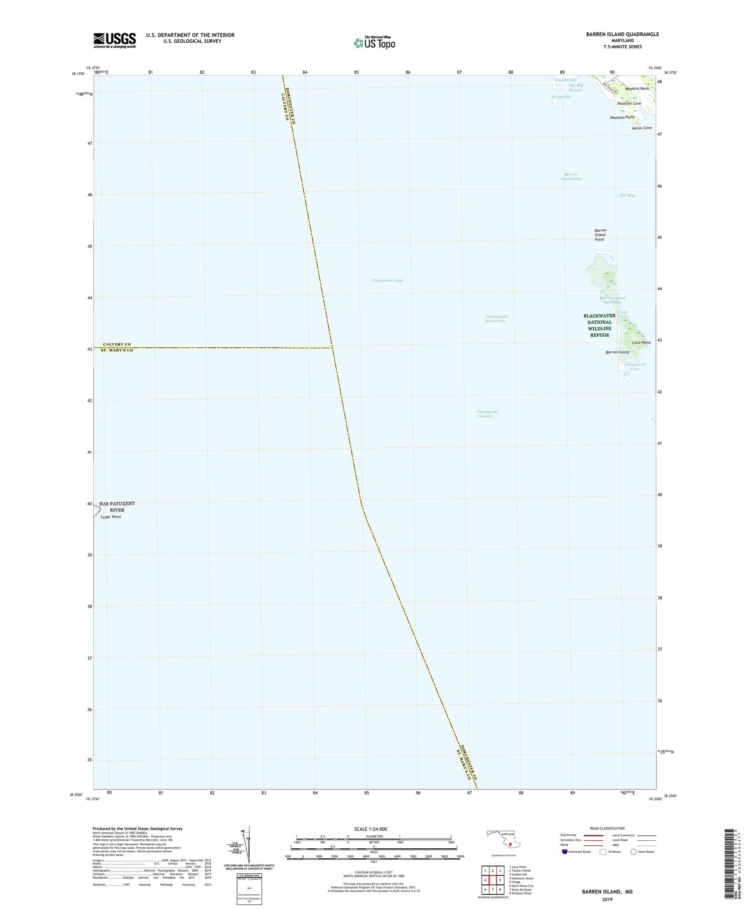
2019 topographic map quadrangle Barren Island in the state of Maryland. Scale: 1:24000. Based on the newly updated USGS 7.5' US Topo map series, this map is in the following counties: Dorchester, St. Mary's, Calvert. The map contains contour data, water features, and other items you are used to seeing on USGS maps, but also has updated roads and other features. This is the next generation of topographic maps. Printed on high-quality waterproof paper with UV fade-resistant inks.
Quads adjacent to this one:
West: Solomons Island
Northwest: Cove Point
North: Taylors Island
Northeast: Golden Hill
East: Honga
Southeast: Richland Point
South: Point No Point
Southwest: Saint Marys City
Contains the following named places: Aaron Cove, Barren Island, Barren Island Gap, Barren Island Point, Barren Island Thorofare, Cedar Point, Cedar Point Lighthouse, Cove Point, Great Cove, Houston Cove, Houston Point, Long Marshes, Tar Bay, The Marshes, Whitewood Cove


