MyTopo
Adolph Minnesota US Topo Map
Couldn't load pickup availability
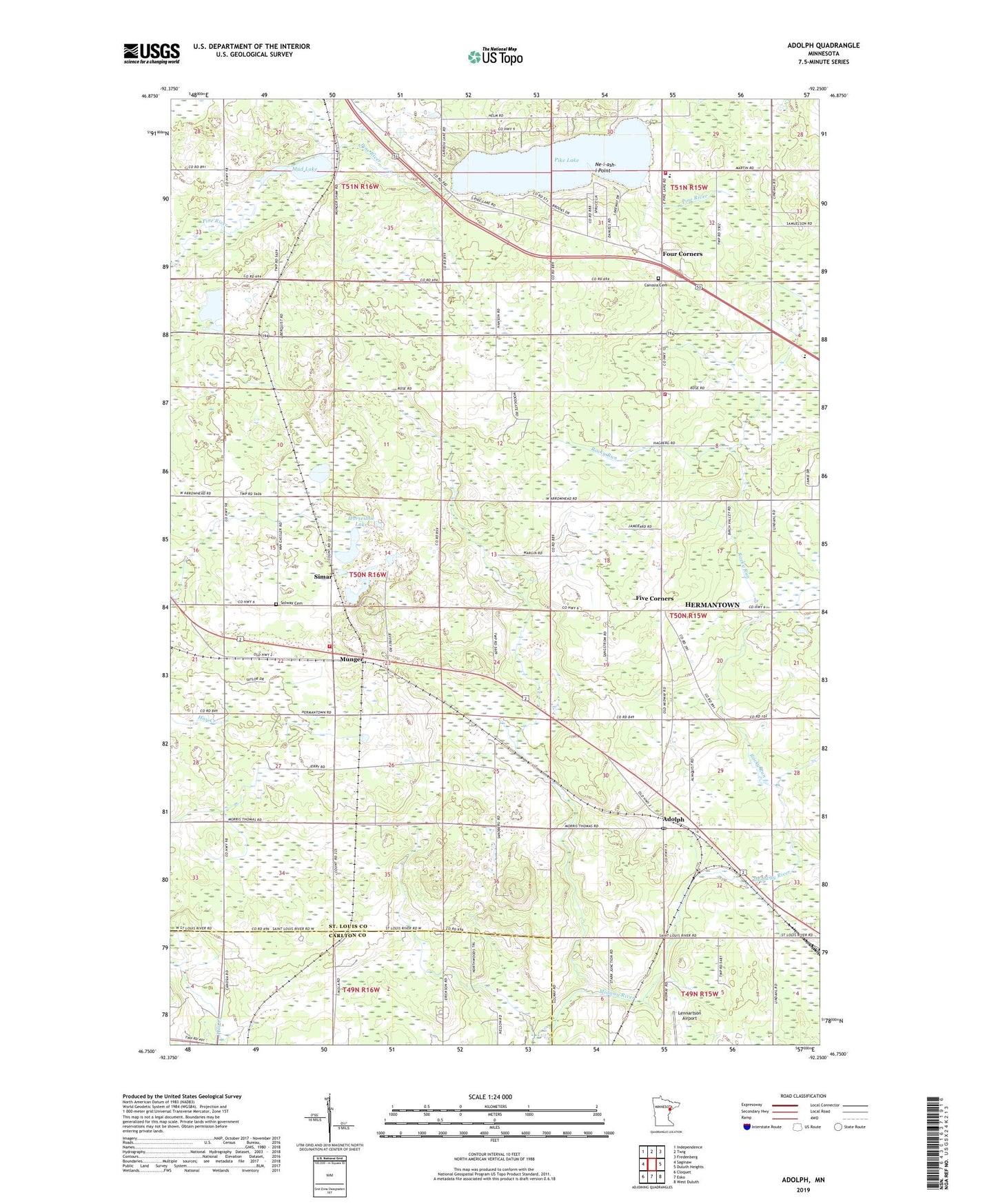
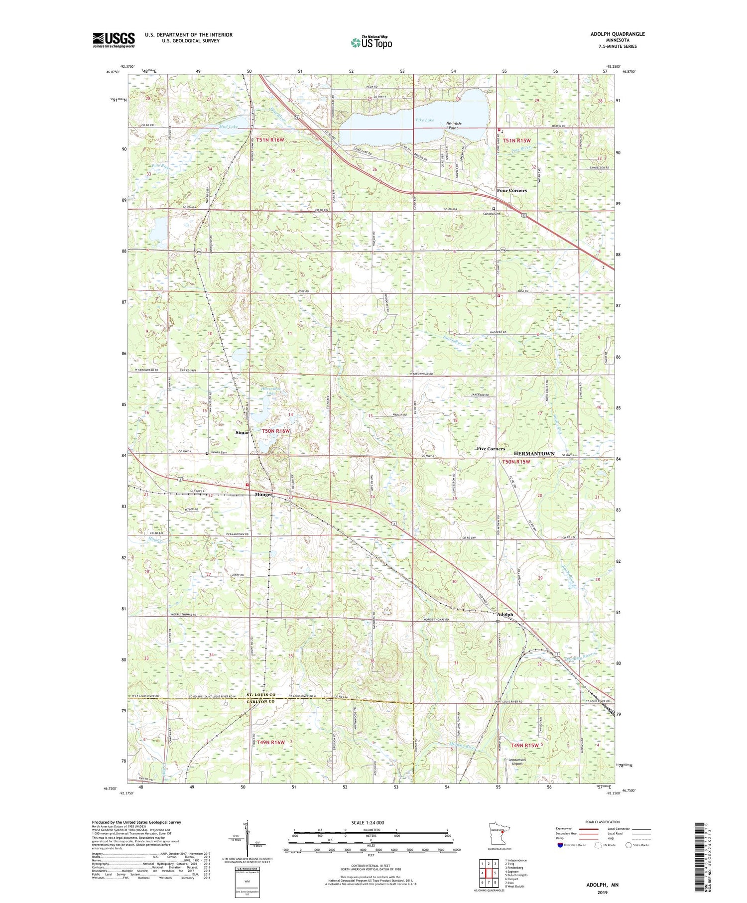
2019 topographic map quadrangle Adolph in the state of Minnesota. Scale: 1:24000. Based on the newly updated USGS 7.5' US Topo map series, this map is in the following counties: St. Louis, Carlton. The map contains contour data, water features, and other items you are used to seeing on USGS maps, but also has updated roads and other features. This is the next generation of topographic maps. Printed on high-quality waterproof paper with UV fade-resistant inks.
Quads adjacent to this one:
West: Saginaw
Northwest: Independence
North: Twig
Northeast: Fredenberg
East: Duluth Heights
Southeast: West Duluth
South: Esko
Southwest: Cloquet
Contains the following named places: Adolph, Adolph Post Office, Adolph Station, Canosia Cemetery, Canosia Post Office, Canosia Volunteer Fire Department, Faith Baptist Church, Five Corners, Four Corners, God's Country Church of Munger, Grace Lutheran Church, Grand Lake Church, Hermantown Volunteer Fire Department Station 3, Horseshoe Lake, Lennartson Airport, Mud Lake, Munger, Munger Post Office, Munger Station, Ne-i-ash-i Point, Pike Lake, Pike Lake School, Rocky Run, Saint Raphael's Church, Simar, Solway Cemetery, Solway Township Volunteer Fire Department, Sundby Post Office, Sundby Station, Township of Solway, ZIP Code: 55810