MyTopo
Adrian SW Minnesota US Topo Map
Couldn't load pickup availability
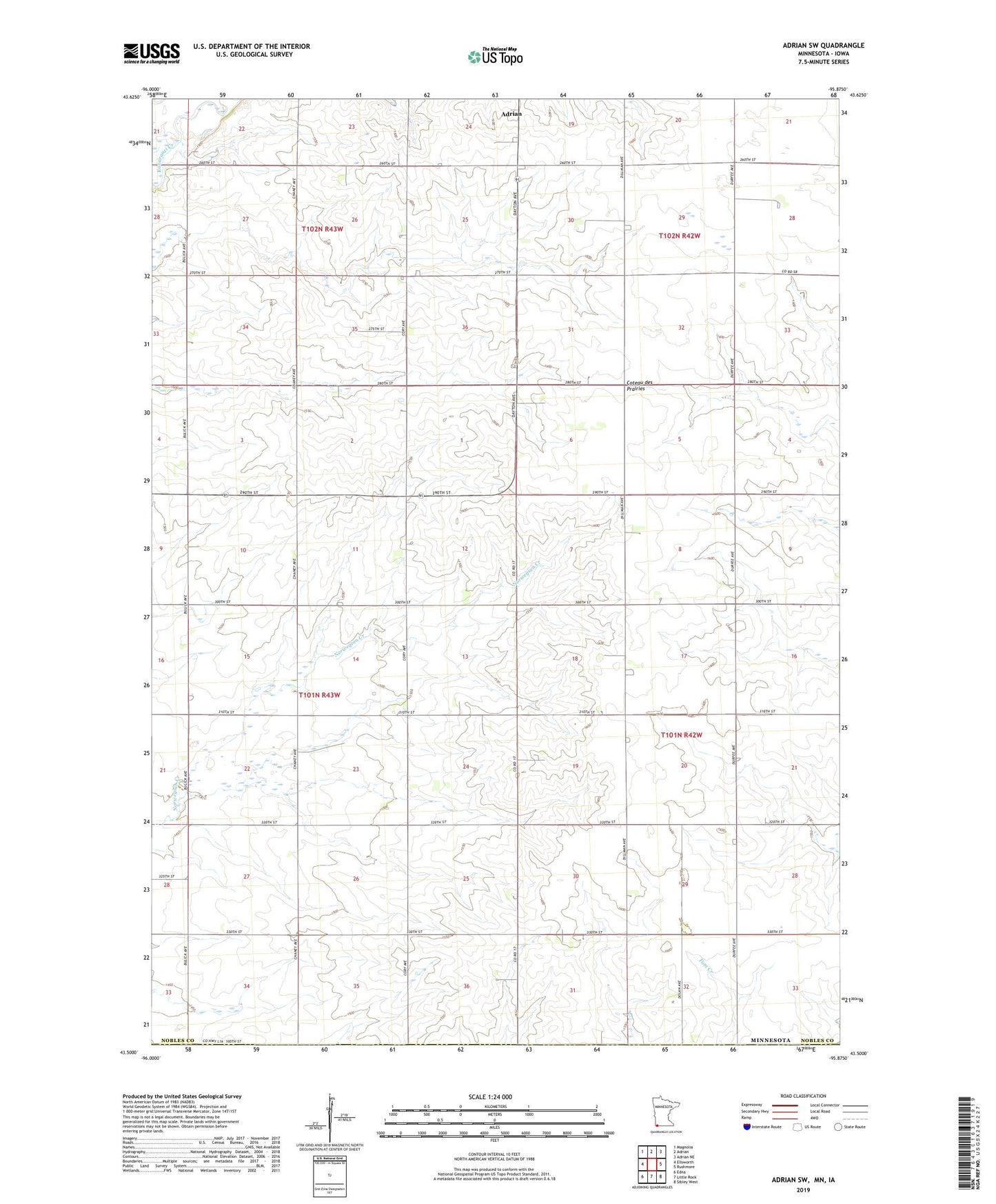
2019 topographic map quadrangle Adrian SW in the state of Minnesota. Scale: 1:24000. Based on the newly updated USGS 7.5' US Topo map series, this map is in the following counties: Nobles, Lyon. The map contains contour data, water features, and other items you are used to seeing on USGS maps, but also has updated roads and other features. This is the next generation of topographic maps. Printed on high-quality waterproof paper with UV fade-resistant inks.
Quads adjacent to this one:
West: Ellsworth
Northwest: Magnolia
North: Adrian
Northeast: Adrian NE
East: Rushmore
Southeast: Sibley West
South: Little Rock
Southwest: Edna
Contains the following named places: Lambert Heikes State Wildlife Management Area, Post Group Detention Reservoir Dam, Township of Grand Prairie, ZIP Code: 56110