MyTopo
Abbott Lake Montana US Topo Map
Couldn't load pickup availability
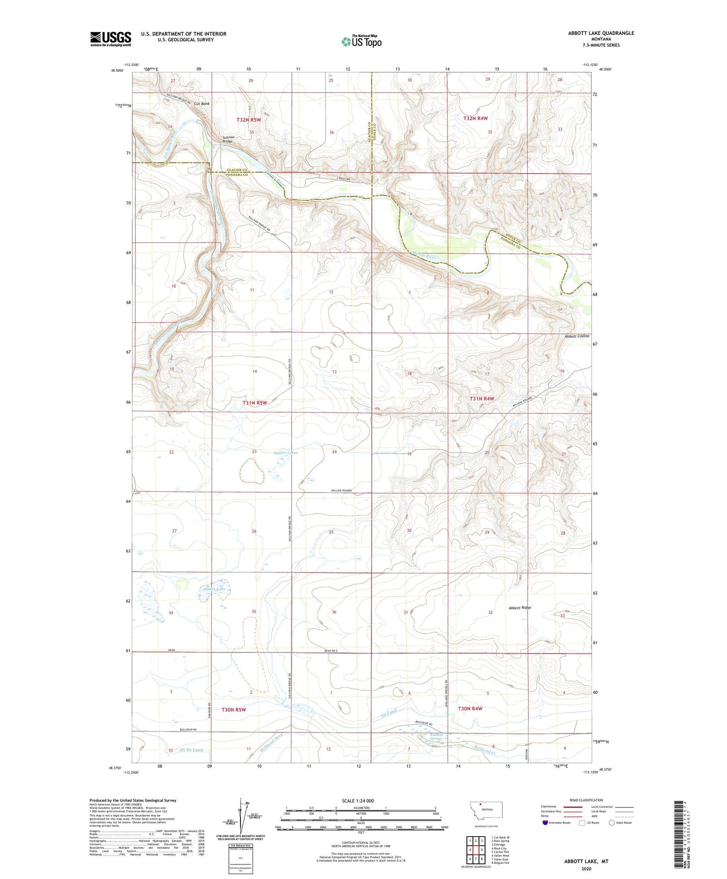
2020 topographic map quadrangle Abbott Lake in the state of Montana. Scale: 1:24000. Based on the newly updated USGS 7.5' US Topo map series, this map is in the following counties: Pondera, Toole, Glacier. The map contains contour data, water features, and other items you are used to seeing on USGS maps, but also has updated roads and other features. This is the next generation of topographic maps. Printed on high-quality waterproof paper with UV fade-resistant inks.
Quads adjacent to this one:
West: Rock City
Northwest: Cut Bank SE
North: Boru Spring
Northeast: Ethridge
East: Cactus Flat
Southeast: Belgian Hill
South: Valier East
Southwest: Valier West
Contains the following named places: 30N04W06CDBB01 Well, Abbott Coulee, Abbott Lake, Abbott Lake School, Abbott Ridge, AN Canal, Bullhead Drop, Bullhead School, Bullhead Springs, Cut Bank, Cut Bank Creek, Stetler Lakes, Sullivan Bridge, Two Medicine River, Wilkins Ranch, Willow Rounds