MyTopo
Ajax Ranch Montana US Topo Map
Couldn't load pickup availability
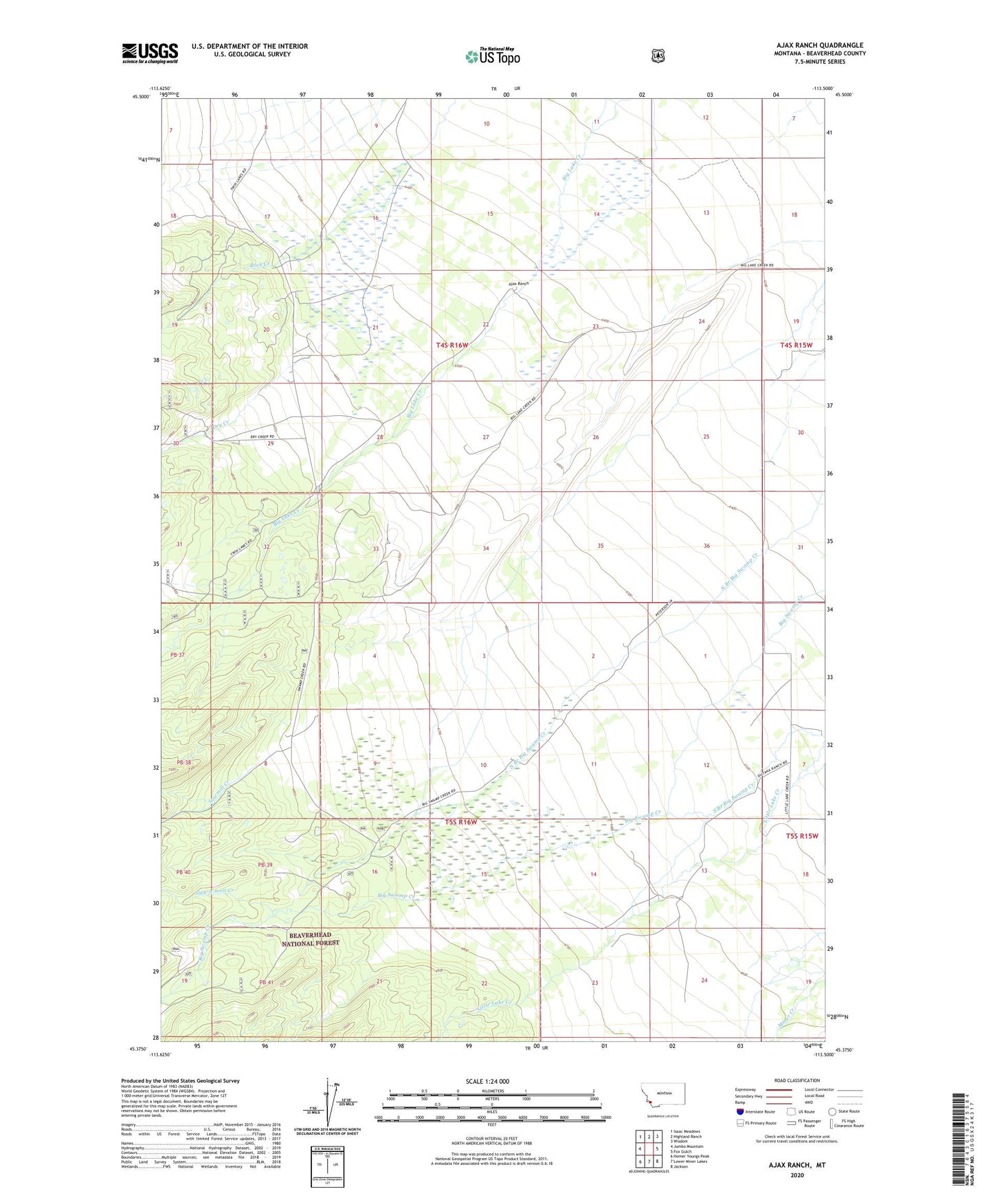
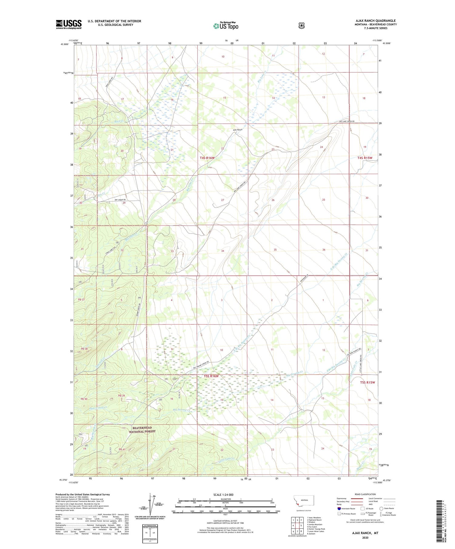
2020 topographic map quadrangle Ajax Ranch in the state of Montana. Scale: 1:24000. Based on the newly updated USGS 7.5' US Topo map series, this map is in the following counties: Beaverhead. The map contains contour data, water features, and other items you are used to seeing on USGS maps, but also has updated roads and other features. This is the next generation of topographic maps. Printed on high-quality waterproof paper with UV fade-resistant inks.
Quads adjacent to this one:
West: Jumbo Mountain
Northwest: Isaac Meadows
North: Highland Ranch
Northeast: Wisdom
East: Fox Gulch
Southeast: Jackson
South: Lower Miner Lakes
Southwest: Homer Youngs Peak
Contains the following named places: 04S15W30CBCD01 Well, 05S16W16ABBA01 Well, Ajax Ranch, Big Hole Ranch, Big Swamp Creek, Dry Creek, Honen Ranch, Lugar Ranch, Peterson Ranch, Sawmill Creek, Slag-a-melt Creek, Twin Lakes Cow Camp, Zebarth Ranch