MyTopo
Alzada NW Montana US Topo Map
Couldn't load pickup availability
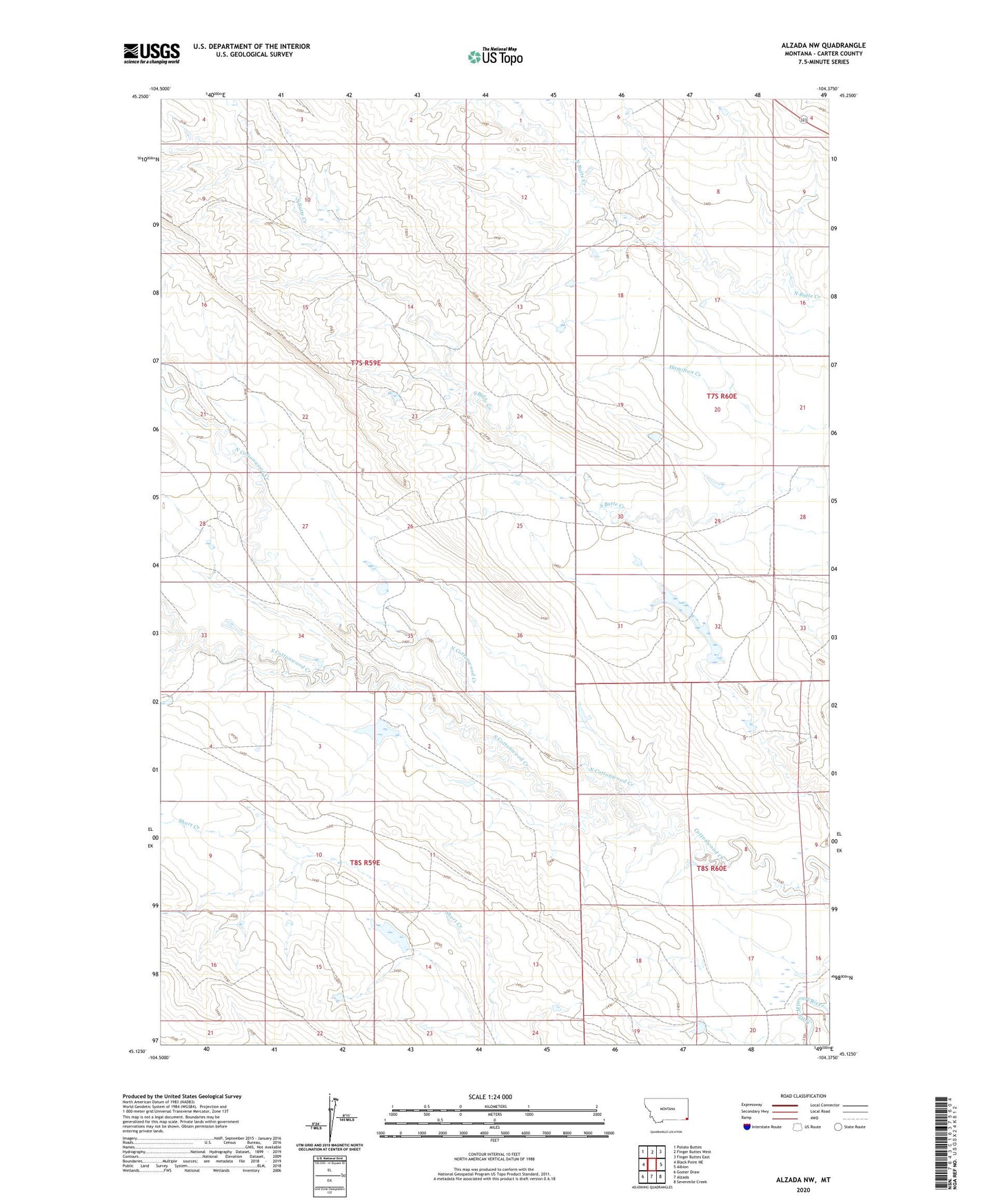
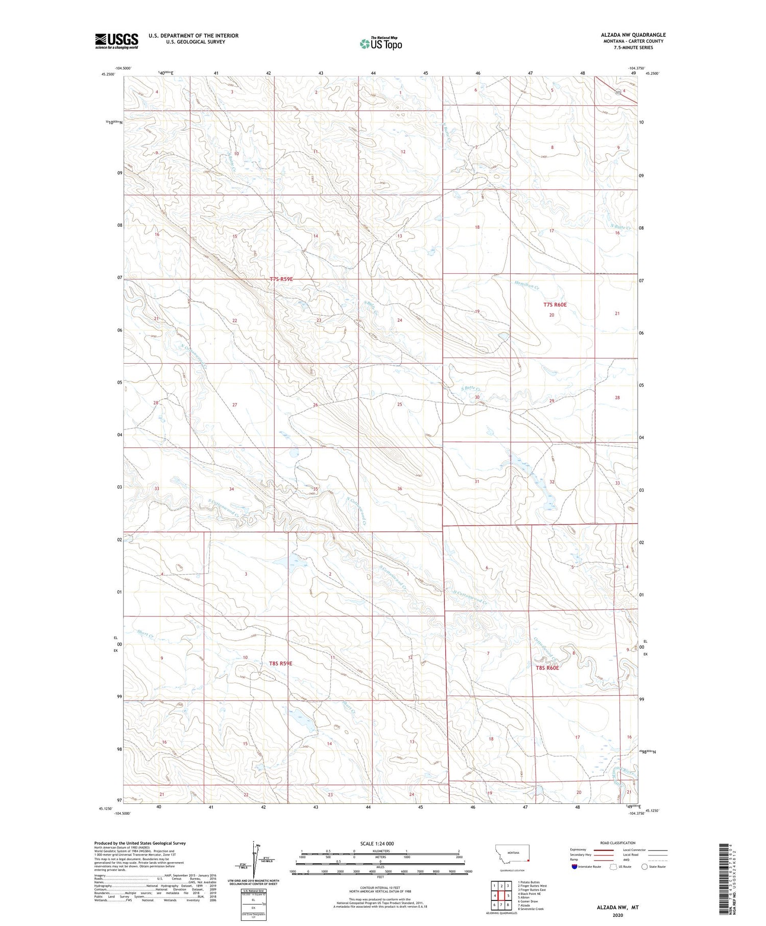
2020 topographic map quadrangle Alzada NW in the state of Montana. Scale: 1:24000. Based on the newly updated USGS 7.5' US Topo map series, this map is in the following counties: Carter. The map contains contour data, water features, and other items you are used to seeing on USGS maps, but also has updated roads and other features. This is the next generation of topographic maps. Printed on high-quality waterproof paper with UV fade-resistant inks.
Quads adjacent to this one:
West: Black Point NE
Northwest: Potato Buttes
North: Finger Buttes West
Northeast: Finger Buttes East
East: Albion
Southeast: Sevenmile Creek
South: Alzada
Southwest: Gomer Draw
Contains the following named places: Arbuckle Dam, North Cottonwood Creek, South Cottonwood Creek, ZIP Code: 59311