MyTopo
Apple School Montana US Topo Map
Couldn't load pickup availability
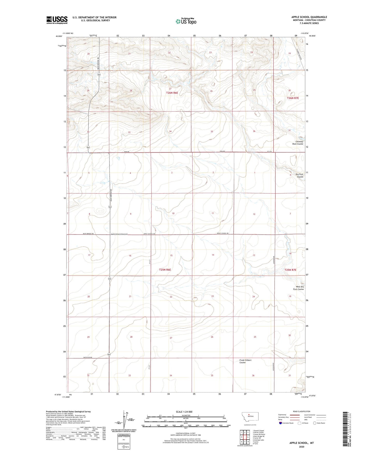
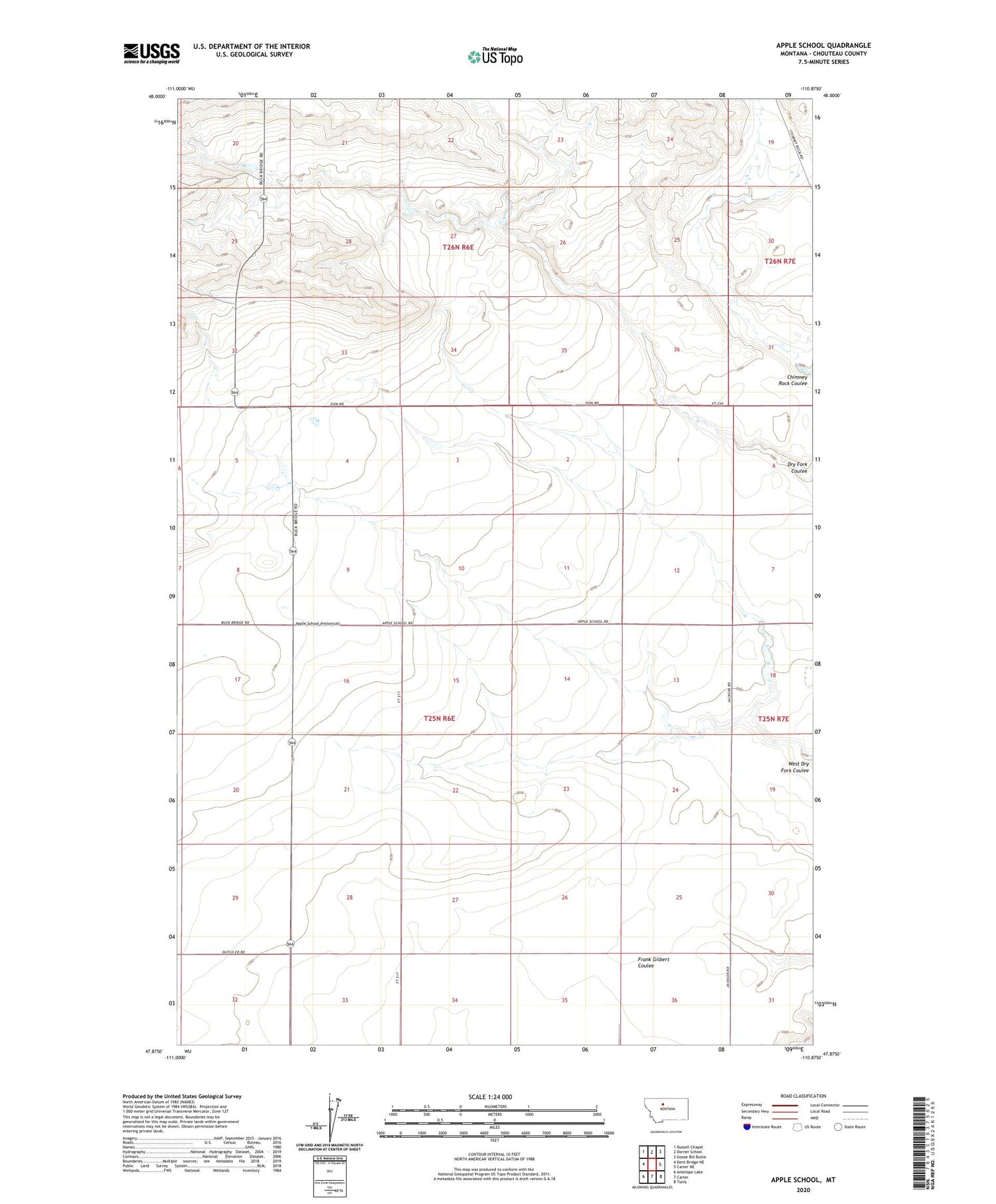
2020 topographic map quadrangle Apple School in the state of Montana. Scale: 1:24000. Based on the newly updated USGS 7.5' US Topo map series, this map is in the following counties: Chouteau. The map contains contour data, water features, and other items you are used to seeing on USGS maps, but also has updated roads and other features. This is the next generation of topographic maps. Printed on high-quality waterproof paper with UV fade-resistant inks.
Quads adjacent to this one:
West: Dent Bridge NE
Northwest: Russell Chapel
North: Dorner School
Northeast: Goose Bill Butte
East: Carter NE
Southeast: Tunis
South: Carter
Southwest: Antelope Lake
Contains the following named places: Apple School, Good Ol West Dam, Sour Apple Dam, Teton Bench Post Office