MyTopo
Ayer Spring Montana US Topo Map
Couldn't load pickup availability
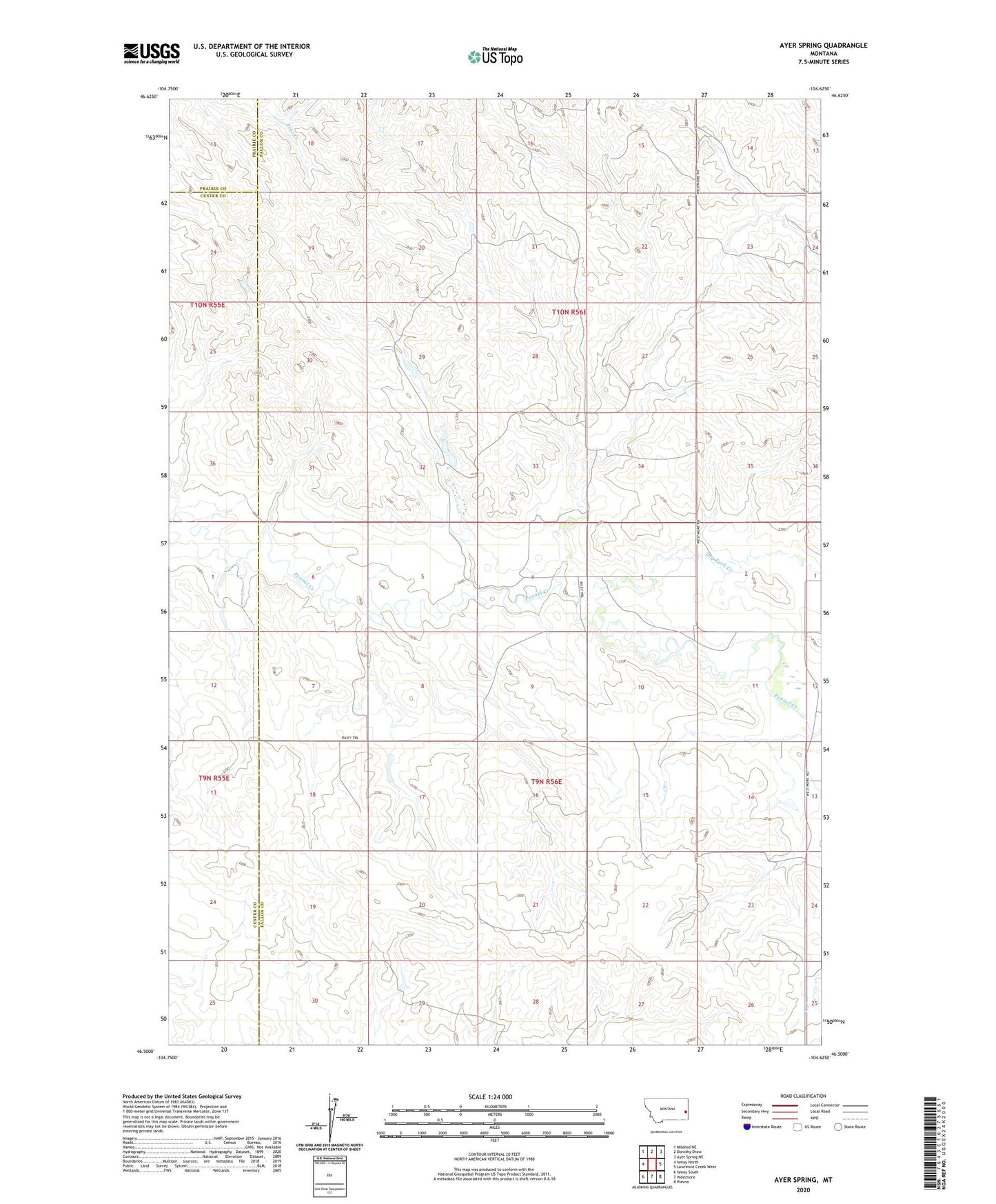
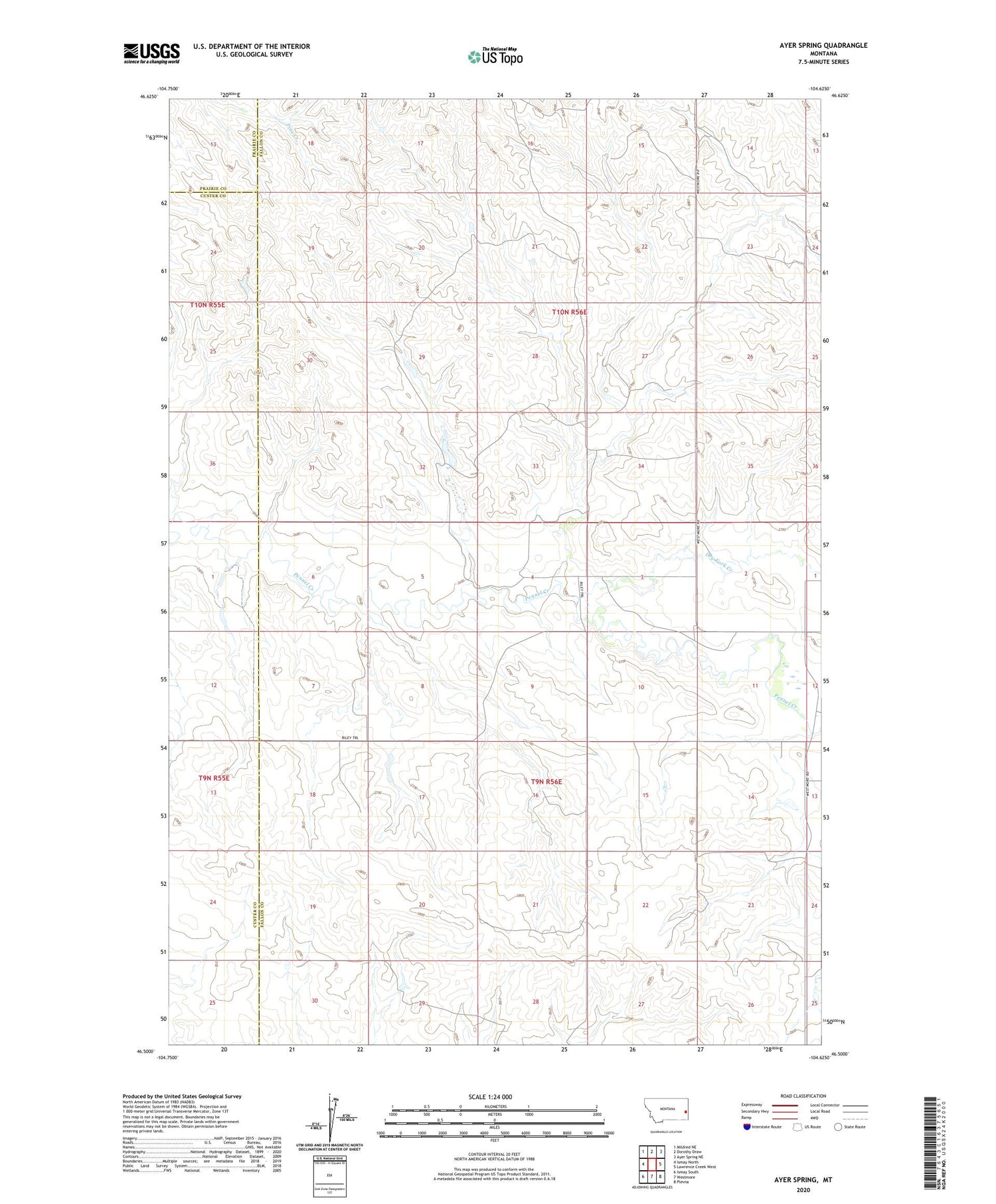
2020 topographic map quadrangle Ayer Spring in the state of Montana. Scale: 1:24000. Based on the newly updated USGS 7.5' US Topo map series, this map is in the following counties: Fallon, Custer, Prairie. The map contains contour data, water features, and other items you are used to seeing on USGS maps, but also has updated roads and other features. This is the next generation of topographic maps. Printed on high-quality waterproof paper with UV fade-resistant inks.
Quads adjacent to this one:
West: Ismay North
Northwest: Mildred NE
North: Dorothy Draw
Northeast: Ayer Spring NE
East: Lawrence Creek West
Southeast: Plevna
South: Westmore
Southwest: Ismay South
Contains the following named places: 09N56E01CBAB01 Well, 09N56E03CBAC01 Well, 09N56E05AABA01 Well, 09N56E07AAAD01 Well, 09N56E11BBCD01 Well, 09N56E14AACB01 Well, 10N56E18BC__01 Well, 10N56E20DA__01 Well, 10N56E26BA__01 Well, Dry Fork Creek