MyTopo
Yew Creek Montana US Topo Map
Couldn't load pickup availability
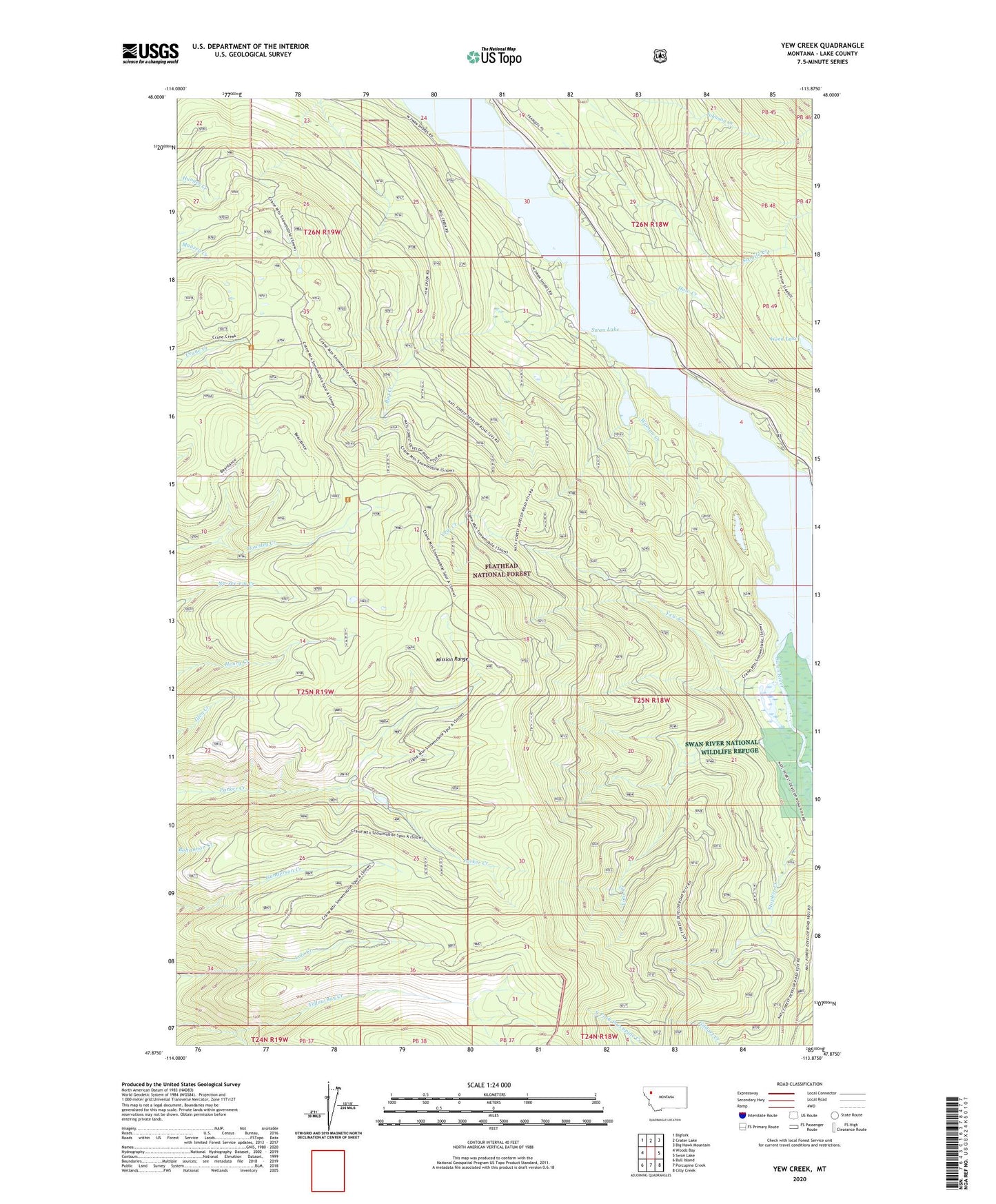
2020 topographic map quadrangle Yew Creek in the state of Montana. Scale: 1:24000. Based on the newly updated USGS 7.5' US Topo map series, this map is in the following counties: Lake. The map contains contour data, water features, and other items you are used to seeing on USGS maps, but also has updated roads and other features. This is the next generation of topographic maps. Printed on high-quality waterproof paper with UV fade-resistant inks.
Quads adjacent to this one:
West: Woods Bay
Northwest: Bigfork
North: Crater Lake
Northeast: Big Hawk Mountain
East: Swan Lake
Southeast: Cilly Creek
South: Porcupine Creek
Southwest: Bull Island
Contains the following named places: Bug Creek, Deer Lick Resort, How Creek, Lime Creek, Mission Well, Sixmile Creek, Stopher Creek, Swan Lake, Swan Village Market and Campground, Weed Lake, Wyman Creek, Yew Creek