MyTopo
Alkali Lake Nebraska US Topo Map
Couldn't load pickup availability
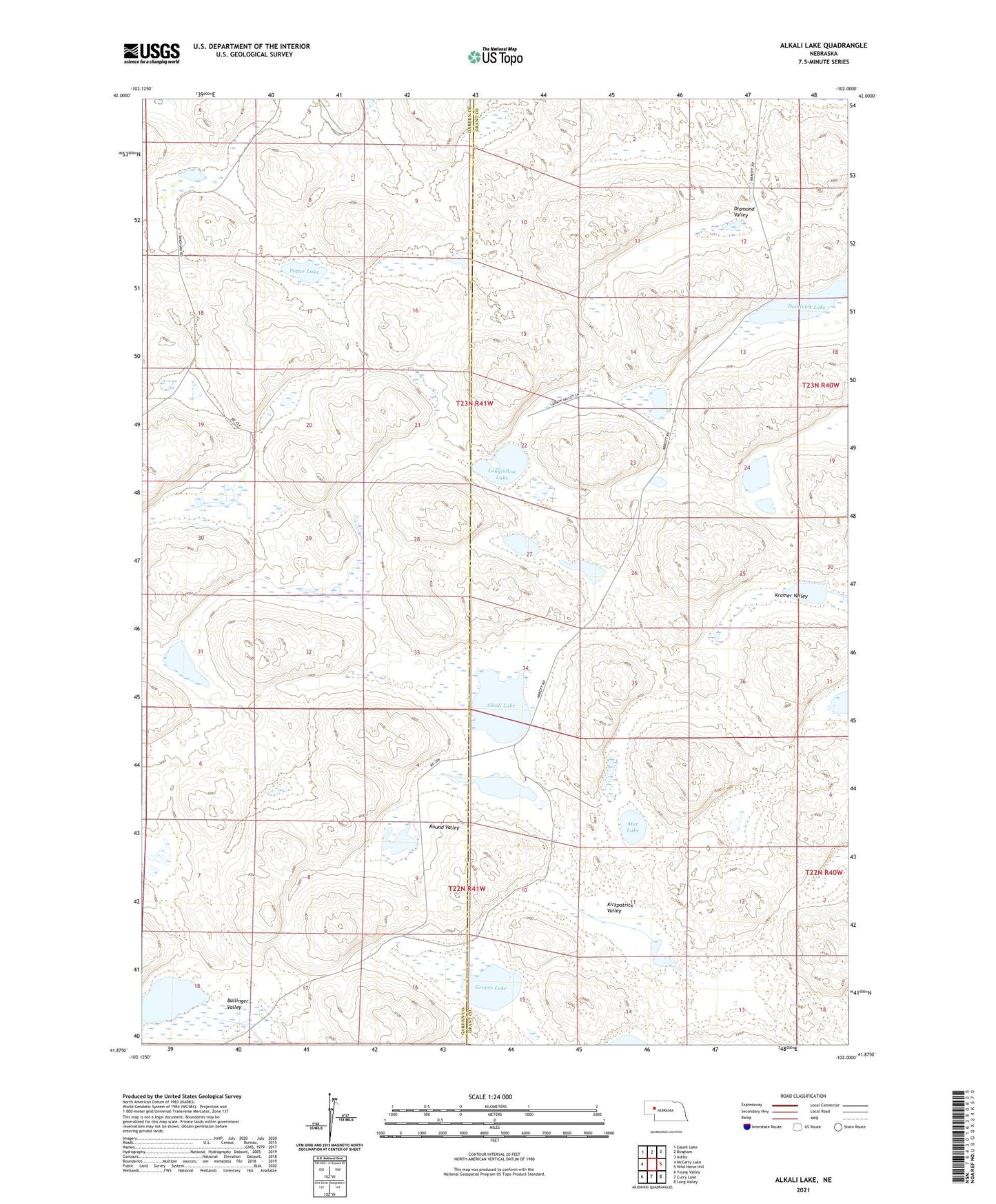
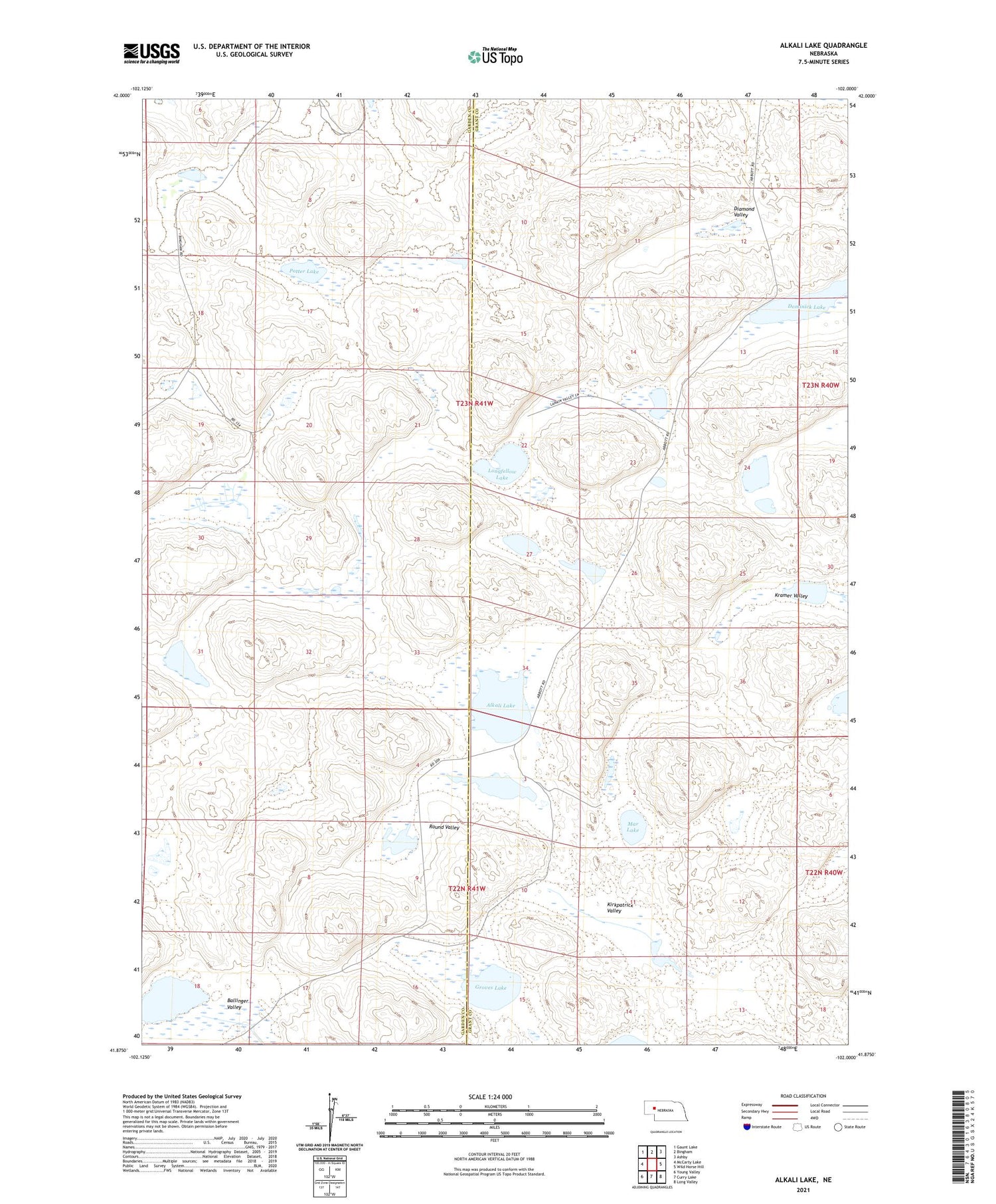
2021 topographic map quadrangle Alkali Lake in the state of Nebraska. Scale: 1:24000. Based on the newly updated USGS 7.5' US Topo map series, this map is in the following counties: Grant, Garden. The map contains contour data, water features, and other items you are used to seeing on USGS maps, but also has updated roads and other features. This is the next generation of topographic maps. Printed on high-quality waterproof paper with UV fade-resistant inks.
Quads adjacent to this one:
West: McCarty Lake
Northwest: Gaunt Lake
North: Bingham
Northeast: Ashby
East: Wild Horse Hill
Southeast: Long Valley
South: Curry Lake
Southwest: Young Valley
Contains the following named places: Alkali Lake, Ballinger Valley, Diamond Valley, Dipping Vat Lake, Dominick Lake, Groves Lake, Kirkpatrick Valley, Kramer Valley, Longfellow Lake, Mar Lake, Potter Lake, R Kincaid Lake, Round Valley