MyTopo
Arcadia East Nebraska US Topo Map
Couldn't load pickup availability
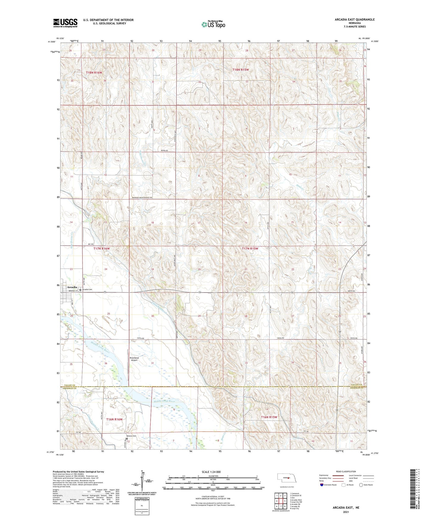
2021 topographic map quadrangle Arcadia East in the state of Nebraska. Scale: 1:24000. Based on the newly updated USGS 7.5' US Topo map series, this map is in the following counties: Valley, Sherman. The map contains contour data, water features, and other items you are used to seeing on USGS maps, but also has updated roads and other features. This is the next generation of topographic maps. Printed on high-quality waterproof paper with UV fade-resistant inks.
Quads adjacent to this one:
West: Arcadia West
Northwest: Comstock
North: Comstock SE
Northeast: Ord
East: Loup City NW
Southeast: Loup City
South: Arcadia SE
Southwest: Arcadia SW
Contains the following named places: Arbordale School, Balsora Cemetery, Glendale School, Hawthorne Creek, Hays Creek School, Old Yale School, Prairie View School, Riverbend Airport, Riverside School, School Number 51, Township of Yale