MyTopo
Wolbach NE Nebraska US Topo Map
Couldn't load pickup availability
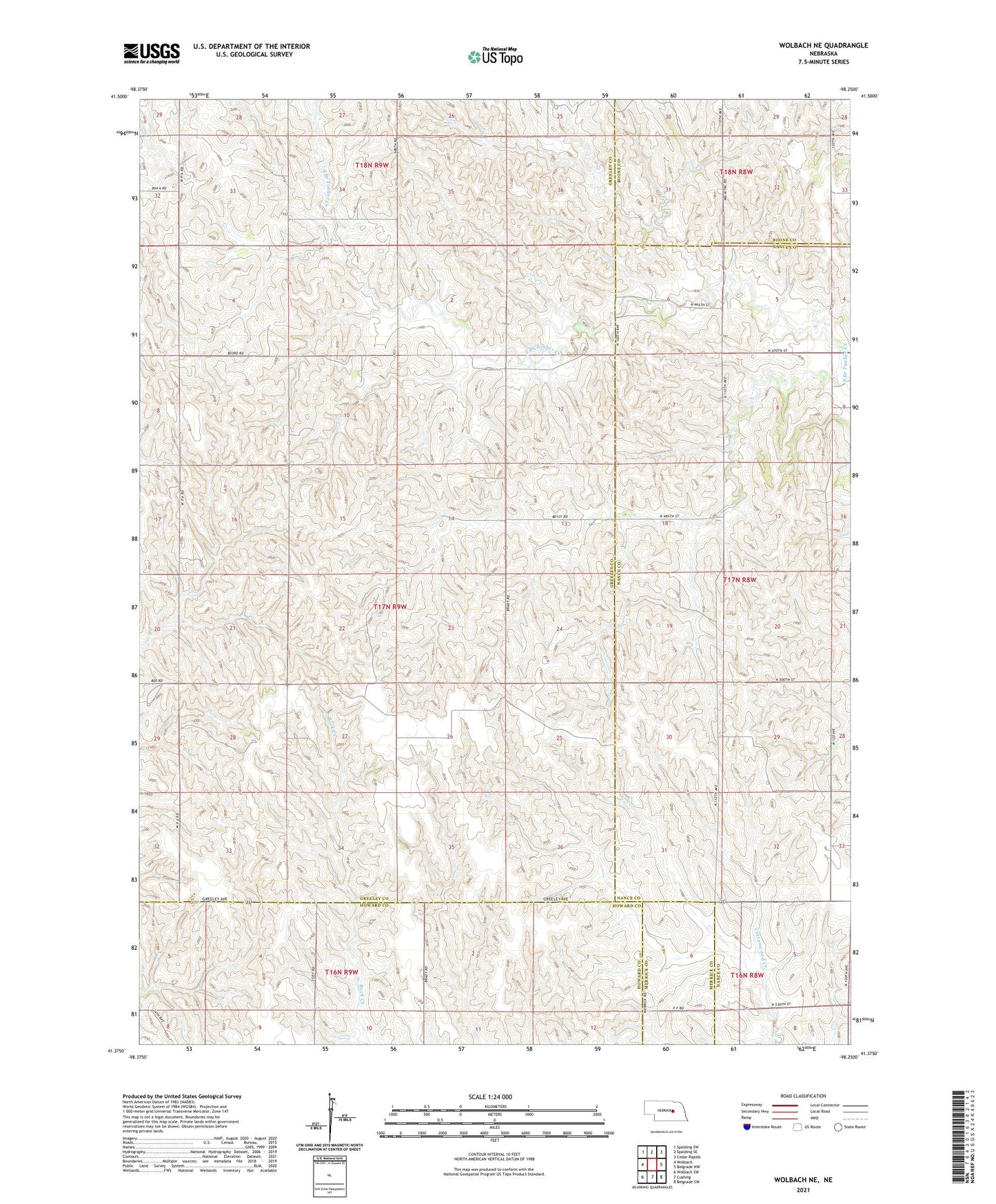
2021 topographic map quadrangle Wolbach NE in the state of Nebraska. Scale: 1:24000. Based on the newly updated USGS 7.5' US Topo map series, this map is in the following counties: Greeley, Nance, Howard, Boone, Merrick. The map contains contour data, water features, and other items you are used to seeing on USGS maps, but also has updated roads and other features. This is the next generation of topographic maps. Printed on high-quality waterproof paper with UV fade-resistant inks.
Quads adjacent to this one:
West: Wolbach
Northwest: Spalding SW
North: Spalding SE
Northeast: Cedar Rapids
East: Belgrade NW
Southeast: Belgrade SW
South: Cushing
Southwest: Wolbach SW
Contains the following named places: Cloverdale School, Fairview School, Olive School, School Number 44, School Number 51, Star School, Township of Logan, Township of Spring Creek, Wolbach Number 2 Election Precinct