MyTopo
Young Valley Nebraska US Topo Map
Couldn't load pickup availability
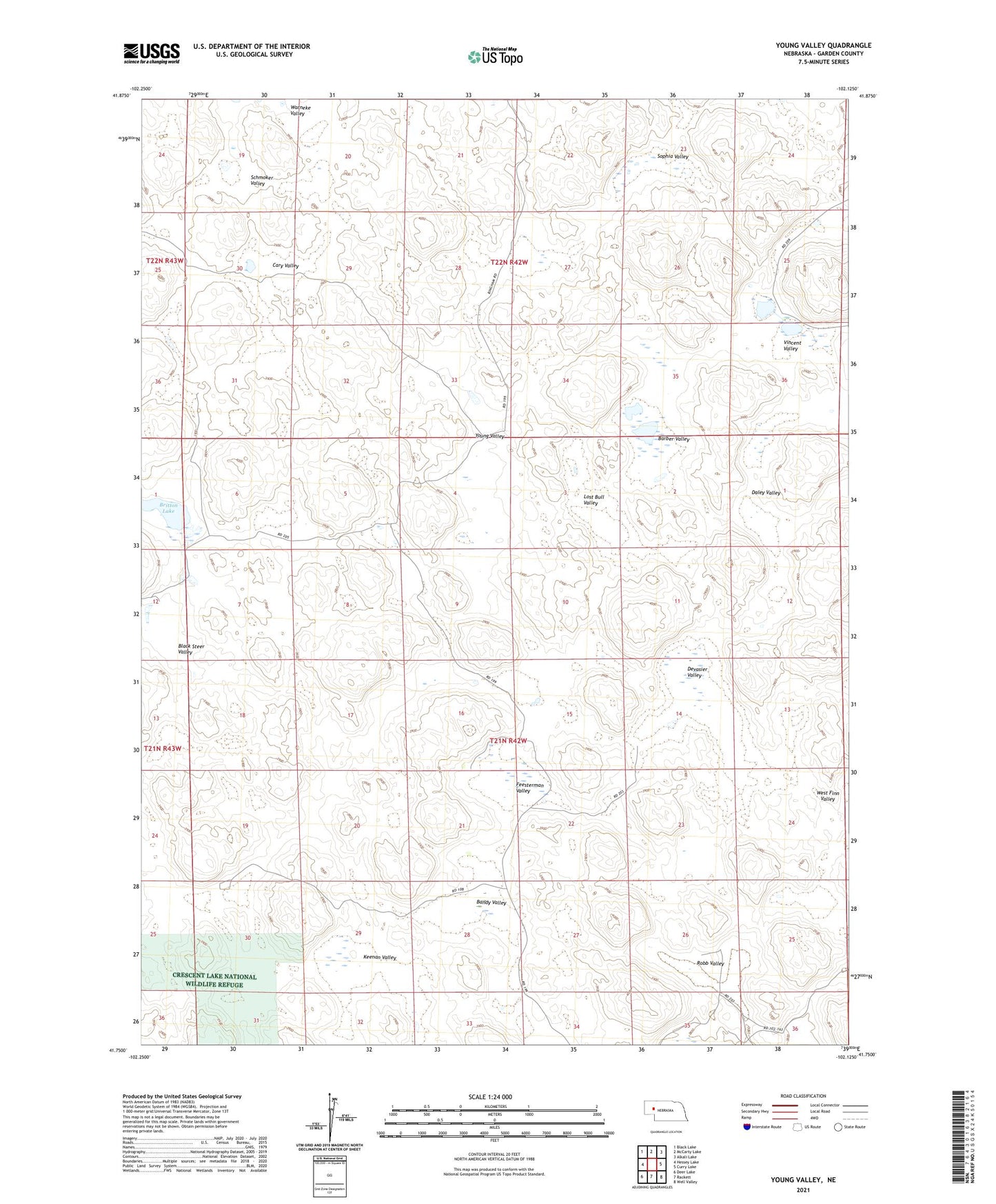
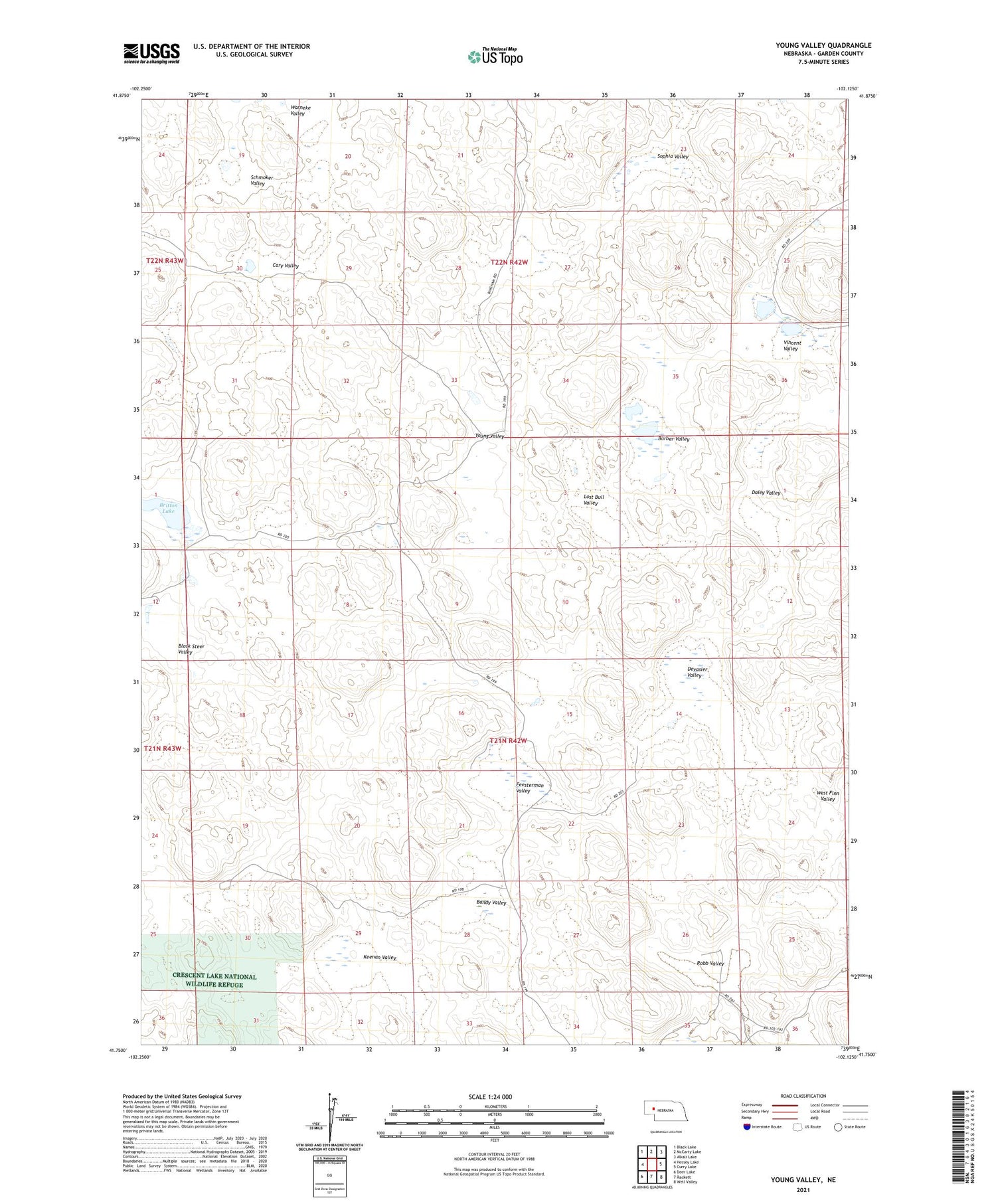
2021 topographic map quadrangle Young Valley in the state of Nebraska. Scale: 1:24000. Based on the newly updated USGS 7.5' US Topo map series, this map is in the following counties: Garden. The map contains contour data, water features, and other items you are used to seeing on USGS maps, but also has updated roads and other features. This is the next generation of topographic maps. Printed on high-quality waterproof paper with UV fade-resistant inks.
Quads adjacent to this one:
West: Hessey Lake
Northwest: Black Lake
North: McCarty Lake
Northeast: Alkali Lake
East: Curry Lake
Southeast: Well Valley
South: Rackett
Southwest: Deer Lake
Contains the following named places: Bandy Valley, Barber Valley, Black Steer Valley, Britton Lake, Cary Valley, Daley Valley, Devasier Valley, Feesterman Valley, Keenan Valley, Lost Bull Valley, Robb Valley, Schmoker Valley, School Number 71, Sophia Valley, Vincent Valley, Warneke Valley, Young Valley