MyTopo
Alcatraz Island Nevada US Topo Map
Couldn't load pickup availability
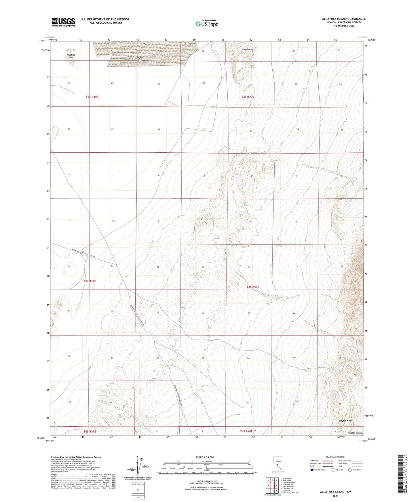
2021 topographic map quadrangle Alcatraz Island in the state of Nevada. Scale: 1:24000. Based on the newly updated USGS 7.5' US Topo map series, this map is in the following counties: Esmeralda. The map contains contour data, water features, and other items you are used to seeing on USGS maps, but also has updated roads and other features. This is the next generation of topographic maps. Printed on high-quality waterproof paper with UV fade-resistant inks.
Quads adjacent to this one:
West: Lida Wash NW
Northwest: Silver Peak
North: Goat Island
Northeast: Paymaster Ridge
East: Split Mountain
Southeast: Montezuma Peak SW
South: Lida Wash
Southwest: Lida Wash SW
Contains the following named places: Alcatraz Island, Clayton Valley, Lida Wash, Silver Peak Marsh Mining District, Swiftwater