MyTopo
Artesia Lake Nevada US Topo Map
Couldn't load pickup availability
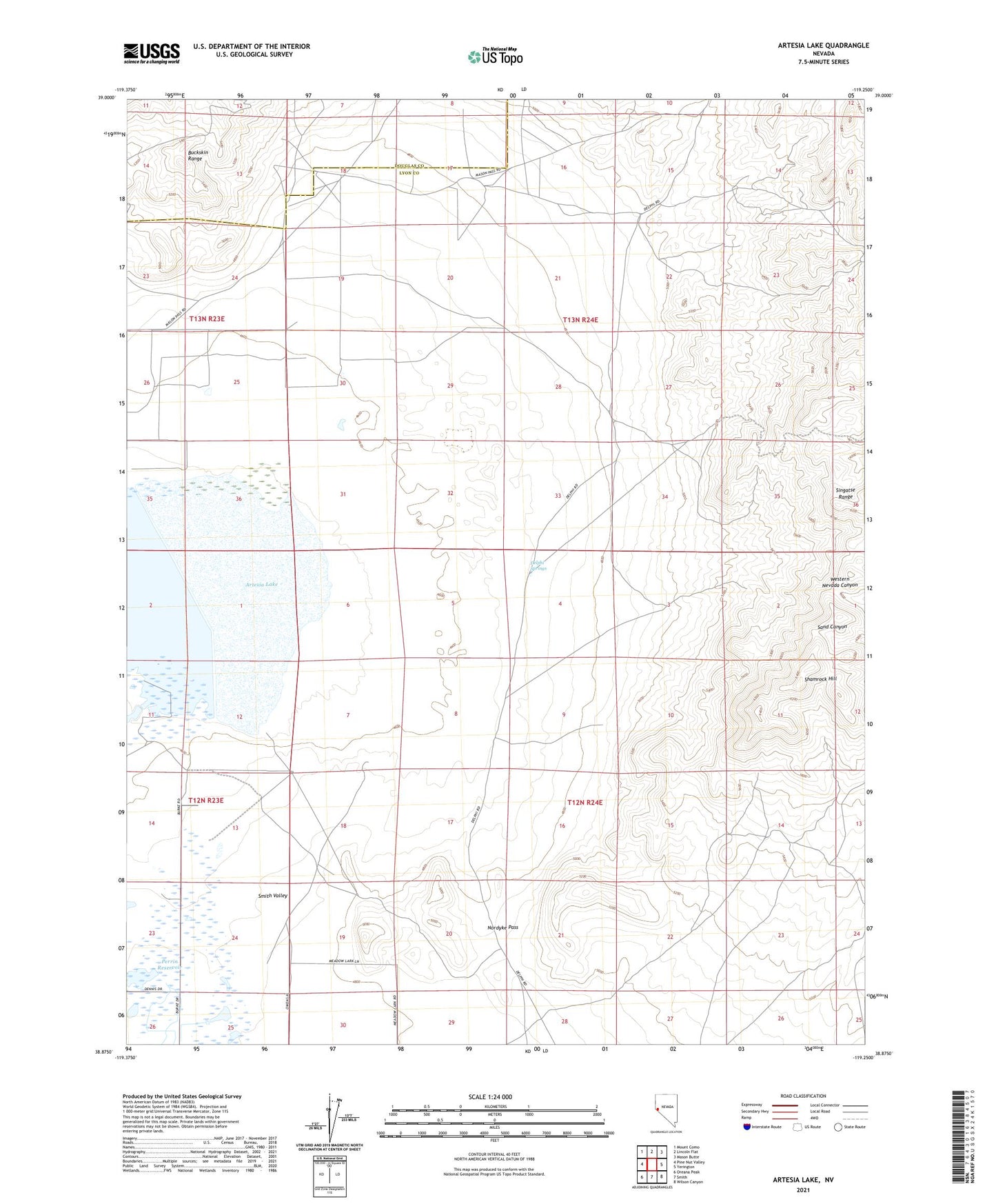
2021 topographic map quadrangle Artesia Lake in the state of Nevada. Scale: 1:24000. Based on the newly updated USGS 7.5' US Topo map series, this map is in the following counties: Lyon, Douglas. The map contains contour data, water features, and other items you are used to seeing on USGS maps, but also has updated roads and other features. This is the next generation of topographic maps. Printed on high-quality waterproof paper with UV fade-resistant inks.
Quads adjacent to this one:
West: Pine Nut Valley
Northwest: Mount Como
North: Lincoln Flat
Northeast: Mason Butte
East: Yerington
Southeast: Wilson Canyon
South: Smith
Southwest: Oreana Peak
Contains the following named places: Ambassador Well, Artesia Lake, Artesia Lake State Wildlife Management Area, Artesia Ranch, Blue Danube Mine, Buckskin, Buckskin Mine, Buckskin Post Office, Buckskin Ranch, Buckskin Range, Casting Mine, Delphi, Delphi Springs, Douglas Hill Mine, Guild-Bovard Mine, Gypsum Mine, Homestake Mine, Honker Duck Club, Ludwig, Ludwig Mine, Ludwig Post Office, Nevada Denver Mine, Nevada Douglas Copper Mines, Nordyke Pass, Perrin Dam, Perrin Reservoir, Shamrock Hill, Smith Valley Township, Thanksgiving Mine, Wye