MyTopo
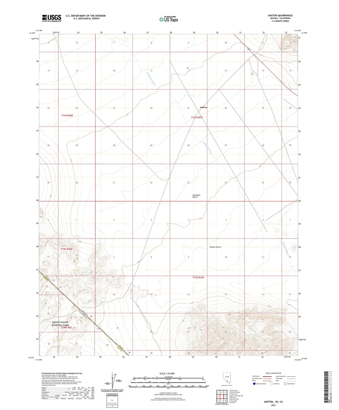
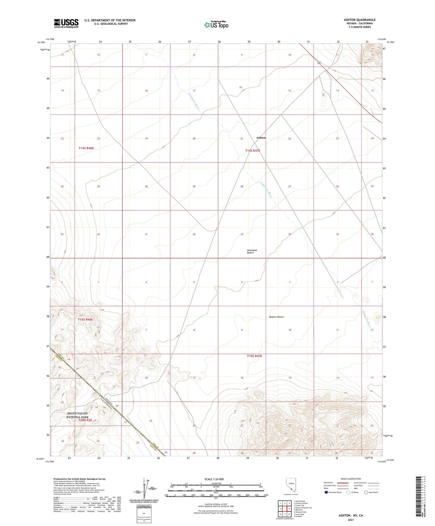
Ashton Nevada US Topo Map
Regular price
$16.95
Regular price
Sale price
$16.95
Unit price
per
Couldn't load pickup availability
2021 topographic map quadrangle Ashton in the state of Nevada. Scale: 1:24000. Based on the newly updated USGS 7.5' US Topo map series, this map is in the following counties: Nye, Inyo. The map contains contour data, water features, and other items you are used to seeing on USGS maps, but also has updated roads and other features. This is the next generation of topographic maps. Printed on high-quality waterproof paper with UV fade-resistant inks.
Quads adjacent to this one:
West: East of Chloride City
Northwest: Gold Center
North: Carrara Canyon
Northeast: Crater Flat
East: Big Dune
Southeast: Leeland
South: Lees Camp
Southwest: Nevares Peak
Contains the following named places: Ashton