MyTopo
Baker Nevada US Topo Map
Couldn't load pickup availability
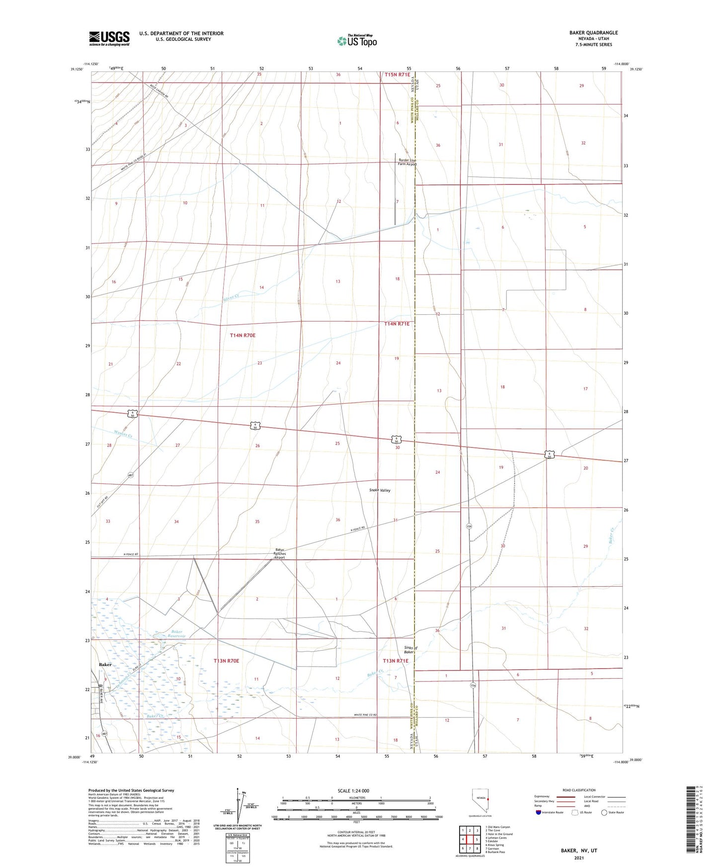
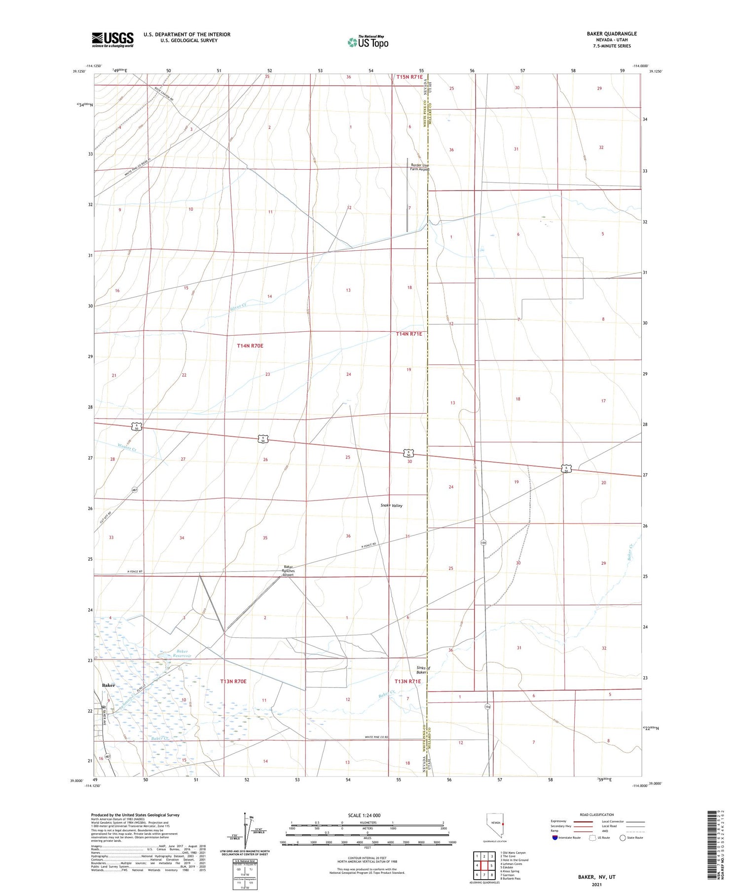
2021 topographic map quadrangle Baker in the state of Nevada. Scale: 1:24000. Based on the newly updated USGS 7.5' US Topo map series, this map is in the following counties: White Pine, Millard. The map contains contour data, water features, and other items you are used to seeing on USGS maps, but also has updated roads and other features. This is the next generation of topographic maps. Printed on high-quality waterproof paper with UV fade-resistant inks.
Quads adjacent to this one:
West: Lehman Caves
Northwest: Old Mans Canyon
North: The Cove
Northeast: Hole in the Ground
East: Eskdale
Southeast: Burbank Pass
South: Garrison
Southwest: Kious Spring
Contains the following named places: Baker, Baker Census Designated Place, Baker Elementary School, Baker Post Office, Baker Ranches Airport, Baker Reservoir, Border Line Farm Airport, Great Basin National Park Fire Station, Lehman Creek, Silver Creek, Sinks of Baker, Weaver Creek