MyTopo
Barrett Springs Nevada US Topo Map
Couldn't load pickup availability
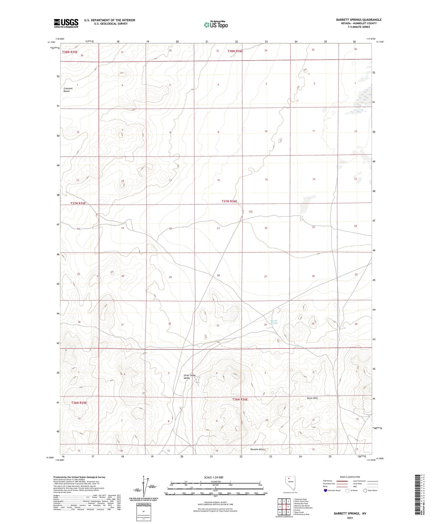
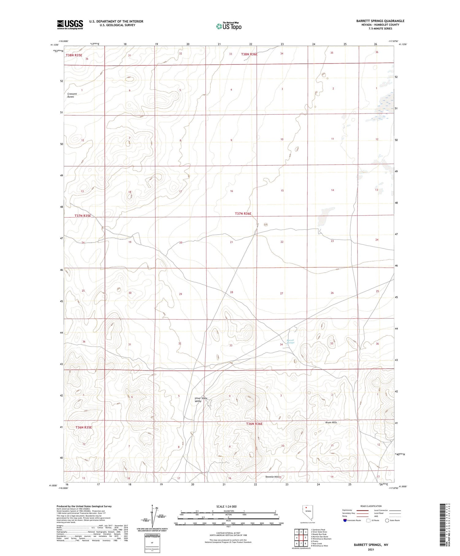
2021 topographic map quadrangle Barrett Springs in the state of Nevada. Scale: 1:24000. Based on the newly updated USGS 7.5' US Topo map series, this map is in the following counties: Humboldt. The map contains contour data, water features, and other items you are used to seeing on USGS maps, but also has updated roads and other features. This is the next generation of topographic maps. Printed on high-quality waterproof paper with UV fade-resistant inks.
Quads adjacent to this one:
West: Mormon Dan Butte
Northwest: Sombrero Peak
North: Silver State Draw
Northeast: Bloody Run Peak
East: Winnemucca Mountain
Southeast: Winnemucca West
South: Rose Creek
Southwest: Pronto
Contains the following named places: Barrett Springs, Barrett Springs Mine, Barrett Springs Well, Laurel, Laurel Post Office, Ten Mile Mining District, Tenmile Hills