MyTopo
Bearpaw Mountain Nevada US Topo Map
Couldn't load pickup availability
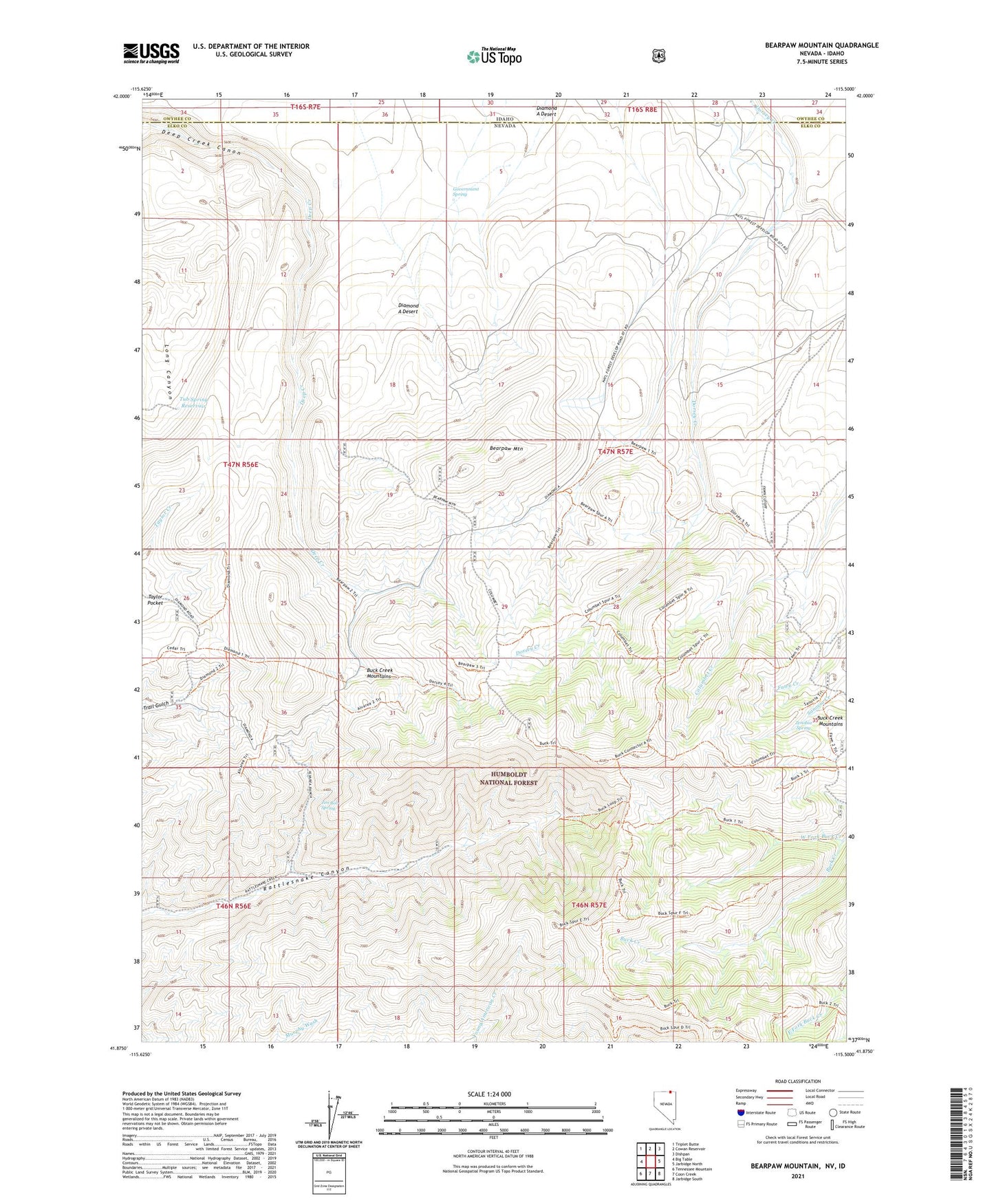
2021 topographic map quadrangle Bearpaw Mountain in the state of Nevada. Scale: 1:24000. Based on the newly updated USGS 7.5' US Topo map series, this map is in the following counties: Elko, Owyhee. The map contains contour data, water features, and other items you are used to seeing on USGS maps, but also has updated roads and other features. This is the next generation of topographic maps. Printed on high-quality waterproof paper with UV fade-resistant inks.
Quads adjacent to this one:
West: Big Table
Northwest: Triplet Butte
North: Cowan Reservoir
Northeast: Dishpan
East: Jarbidge North
Southeast: Jarbidge South
South: Coon Creek
Southwest: Tennessee Mountain
Contains the following named places: Alvarea Ranch, Bearpaw Mountain, Buck Creek Mountains, Diamond A Desert, Dorsey Table, Government Spring, Jim Bob Spring, Knight Ranch, Strickland Ranch, Tub Spring Reservoir, West Fork Buck Creek, Zenobia Spring