MyTopo
Yellow Cone Nevada US Topo Map
Couldn't load pickup availability
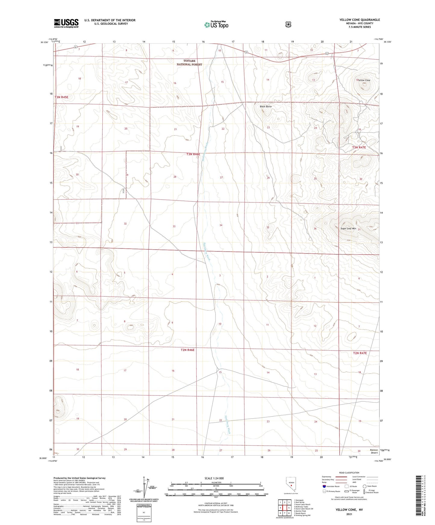
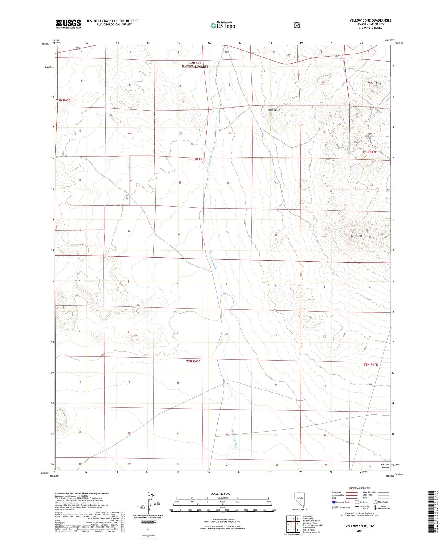
2021 topographic map quadrangle Yellow Cone in the state of Nevada. Scale: 1:24000. Based on the newly updated USGS 7.5' US Topo map series, this map is in the following counties: Nye. The map contains contour data, water features, and other items you are used to seeing on USGS maps, but also has updated roads and other features. This is the next generation of topographic maps. Printed on high-quality waterproof paper with UV fade-resistant inks.
Quads adjacent to this one:
West: McKinney Tanks
Northwest: Hannapah
North: Mud Spring
Northeast: Stone Cabin Ranch
East: Stone Cabin Ranch SW
Contains the following named places: Black Butte, Ellendale, Ellendale Mine, Imperial Mine, Nays Station, Salsbury Well, Sugar Loaf Mountain, Yellow Cone