MyTopo
Abbott NW New Mexico US Topo Map
Couldn't load pickup availability
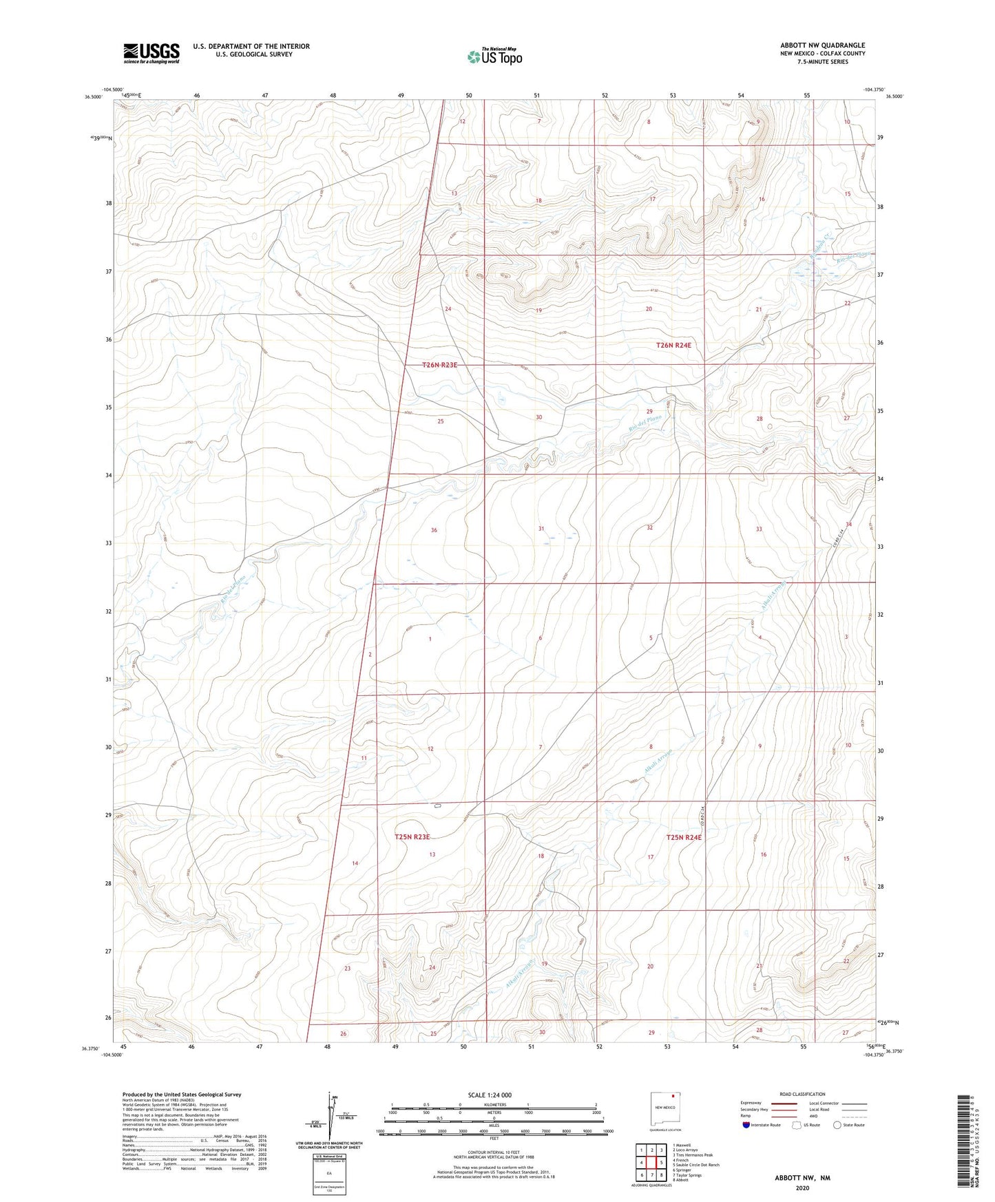
2020 topographic map quadrangle Abbott NW in the state of New Mexico. Scale: 1:24000. Based on the newly updated USGS 7.5' US Topo map series, this map is in the following counties: Colfax. The map contains contour data, water features, and other items you are used to seeing on USGS maps, but also has updated roads and other features. This is the next generation of topographic maps. Printed on high-quality waterproof paper with UV fade-resistant inks.
Quads adjacent to this one:
West: French
Northwest: Maxwell
North: Loco Arroyo
Northeast: Tres Hermanos Peak
East: Sauble Circle Dot Ranch
Southeast: Abbott
South: Taylor Springs
Southwest: Springer
Contains the following named places: Rito Del Plano Reservoir Dam, Rondeau Creek, Springer Division