MyTopo
Anderson Peak New Mexico US Topo Map
Couldn't load pickup availability
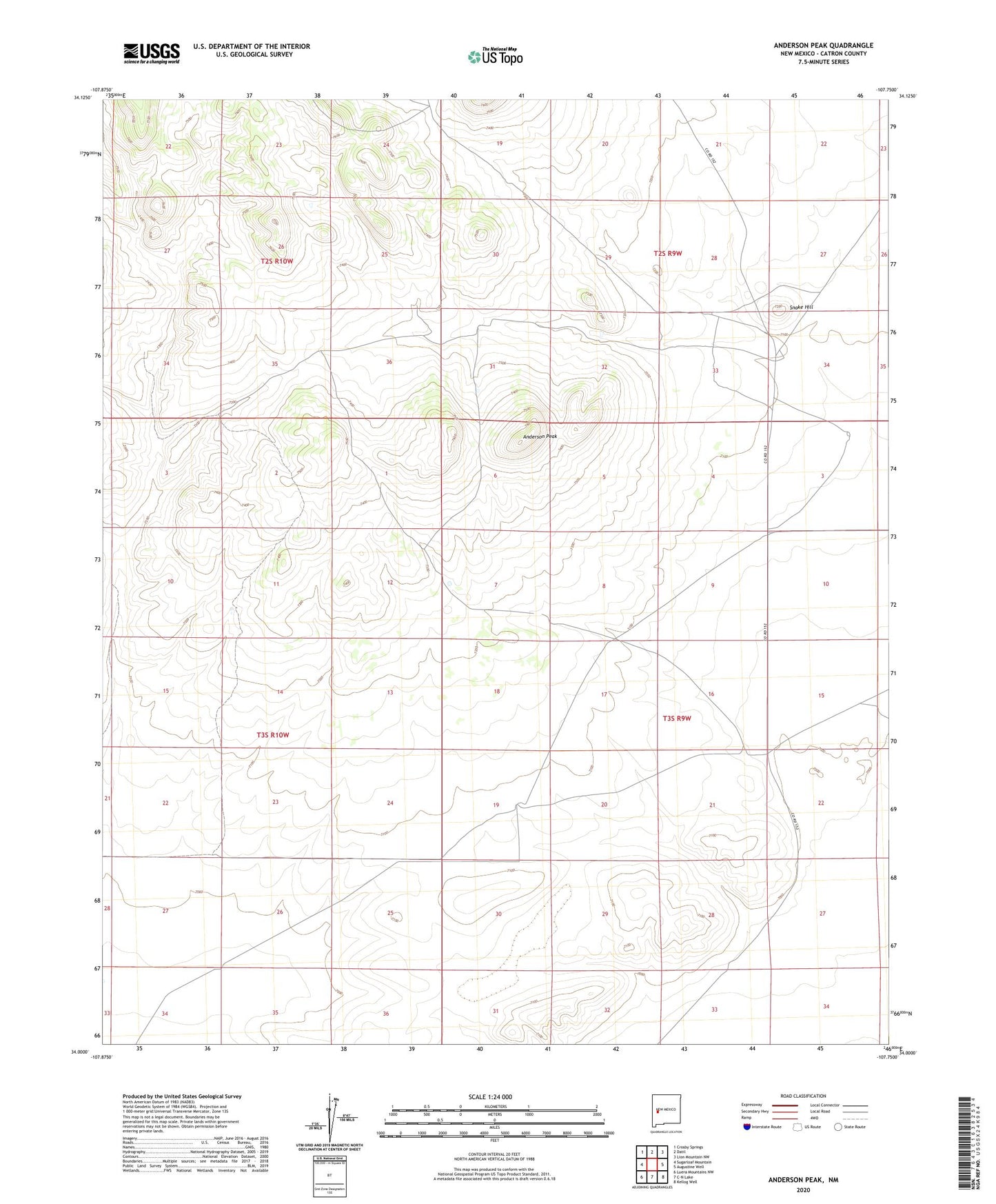
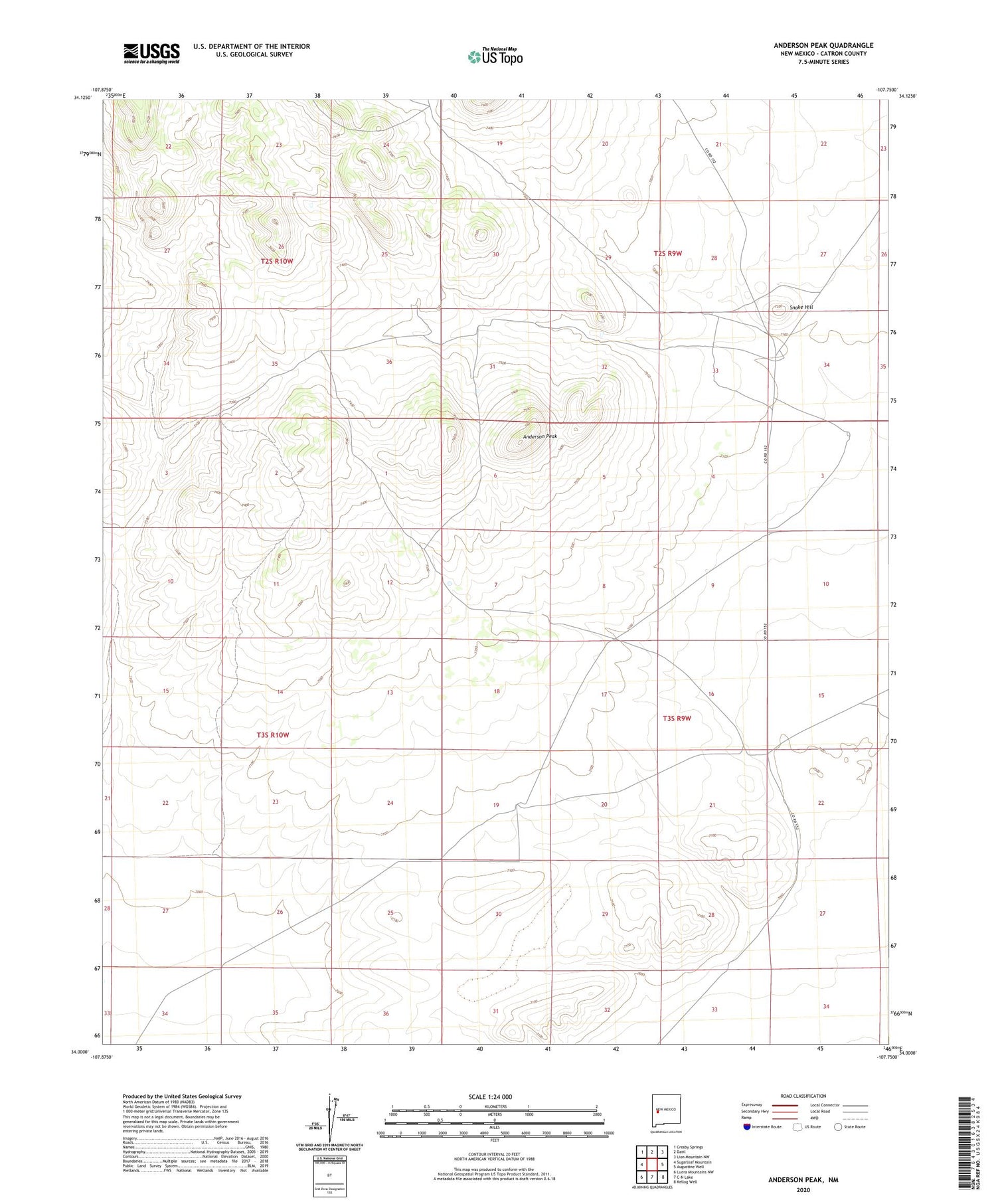
2020 topographic map quadrangle Anderson Peak in the state of New Mexico. Scale: 1:24000. Based on the newly updated USGS 7.5' US Topo map series, this map is in the following counties: Catron. The map contains contour data, water features, and other items you are used to seeing on USGS maps, but also has updated roads and other features. This is the next generation of topographic maps. Printed on high-quality waterproof paper with UV fade-resistant inks.
Quads adjacent to this one:
West: Sugarloaf Mountain
Northwest: Crosby Springs
North: Datil
Northeast: Lion Mountain NW
East: Augustine Well
Southeast: Kellog Well
South: C-N Lake
Southwest: Luera Mountains NW
Contains the following named places: 5 Troughs Water Well, Anderson Peak, Bobs Water Well, Bobs Well, Carter Water Well, Carter Well, Five Troughs Well, Lutz Well, M C Water Well, Mcclure Well, Mclure Water Well, Montoya Well, New Water Well, New Well, Rock House Water Well, Rock House Well, Snake Hill, Snake Water Well, Snake Well, Vanier Water Well, Vanier Well