MyTopo
York Ranch SE New Mexico US Topo Map
Couldn't load pickup availability
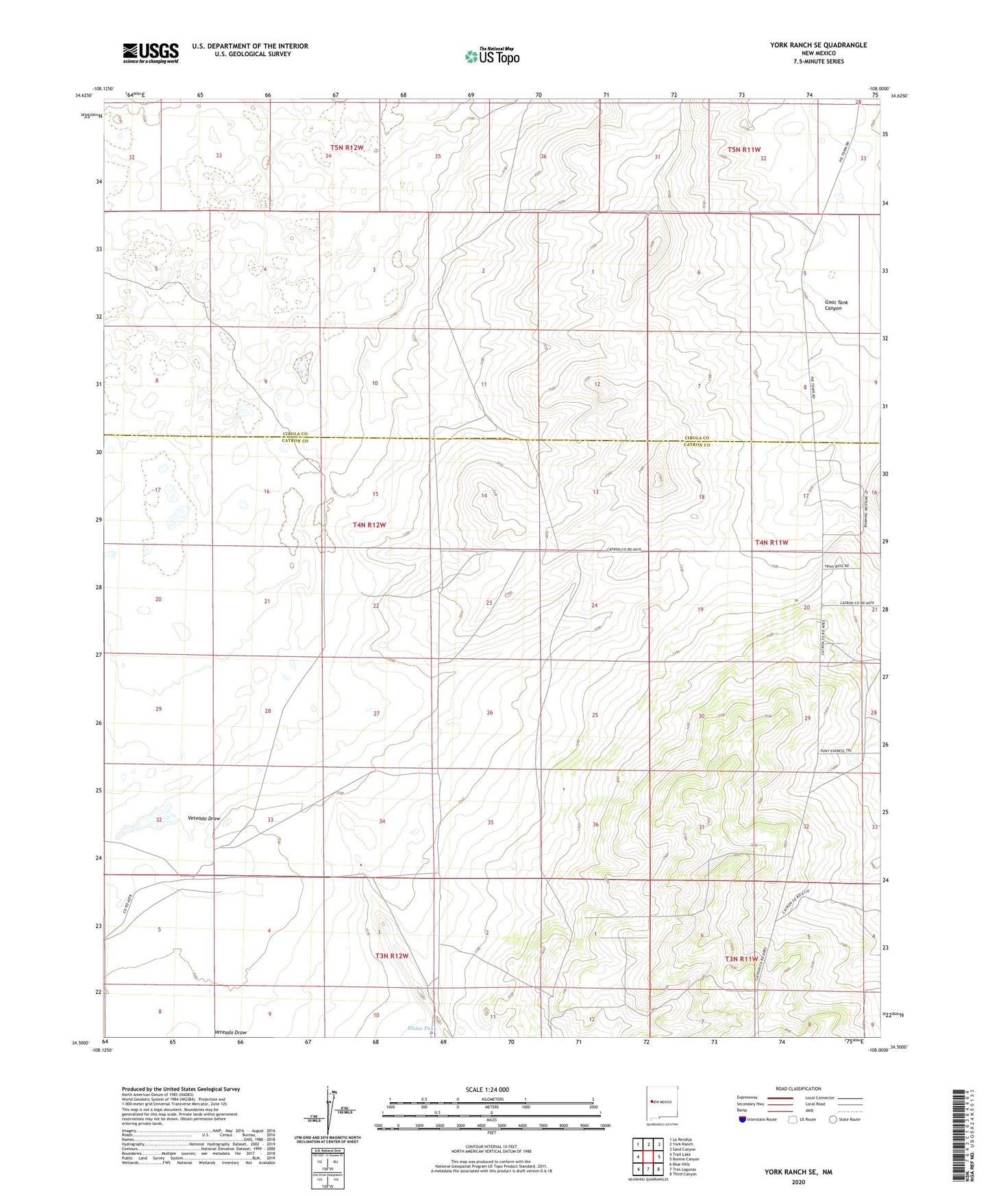
2020 topographic map quadrangle York Ranch SE in the state of New Mexico. Scale: 1:24000. Based on the newly updated USGS 7.5' US Topo map series, this map is in the following counties: Catron, Cibola. The map contains contour data, water features, and other items you are used to seeing on USGS maps, but also has updated roads and other features. This is the next generation of topographic maps. Printed on high-quality waterproof paper with UV fade-resistant inks.
Quads adjacent to this one:
West: Trail Lake
Northwest: La Rendija
North: York Ranch
Northeast: Sand Canyon
East: Bonine Canyon
Southeast: Third Canyon
South: Tres Lagunas
Southwest: Blue Hills
Contains the following named places: Camp Water Well, Clemente Well, Corner Water Well, Corner Well, Cox Trap Water Well, Elsies Tank, Field Water Well, Greer Cemetery, Highland Well, Lee Well, Lowlands Water Well, Lowlands Well Number 1, Lowlands Well Number 2, Malt Water Well, Malt Well, Martin Well, Porcupine Ridge Airport, Twin Well, Twin Wll A Water Well, Twin WLL B Water Well, Veteado Draw, Younger Well