MyTopo
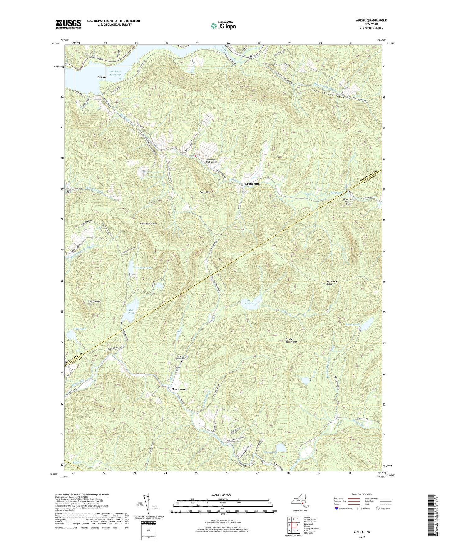
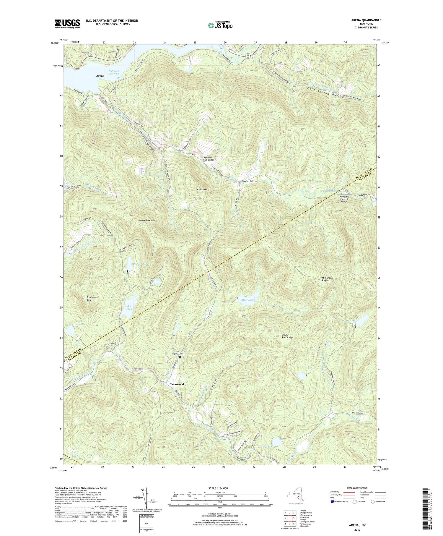
Arena New York US Topo Map
Couldn't load pickup availability
2019 topographic map quadrangle Arena in the state of New York. Scale: 1:24000. Based on the newly updated USGS 7.5' US Topo map series, this map is in the following counties: Ulster, Delaware, Sullivan. The map contains contour data, water features, and other items you are used to seeing on USGS maps, but also has updated roads and other features. This is the next generation of topographic maps. Printed on high-quality waterproof paper with UV fade-resistant inks.
Quads adjacent to this one:
West: Lewbeach
Northwest: Andes
North: Margaretville
Northeast: Fleischmanns
East: Seager
Southeast: Claryville
South: Willowemoc
Southwest: Livingston Manor
Contains the following named places: Advent Christian Church, Alder Creek, Alder Lake, Arena, Arena Fire Department, Banks - Eighmy Cemetery, Barkaboom Mountain, Beaverkill Trout Hatchery, Beecher Brook, Beecher Lake, Big Pond, Cold Spring Hollow, Cradle Rock Ridge, Cross Mountain, Forest Lake, Grant Mills, Grants Mills Covered Bridge, Hardenburg, Huckleberry Brook, Little Pond, Mill Brook, Mill Brook Ridge, Mountain Lake, Old Stone School, School Number 8, Scudder Brook, Touchmenot Mountain, Turnwood, Tuscarora Club Bridge