MyTopo
Alfred North Dakota US Topo Map
Couldn't load pickup availability
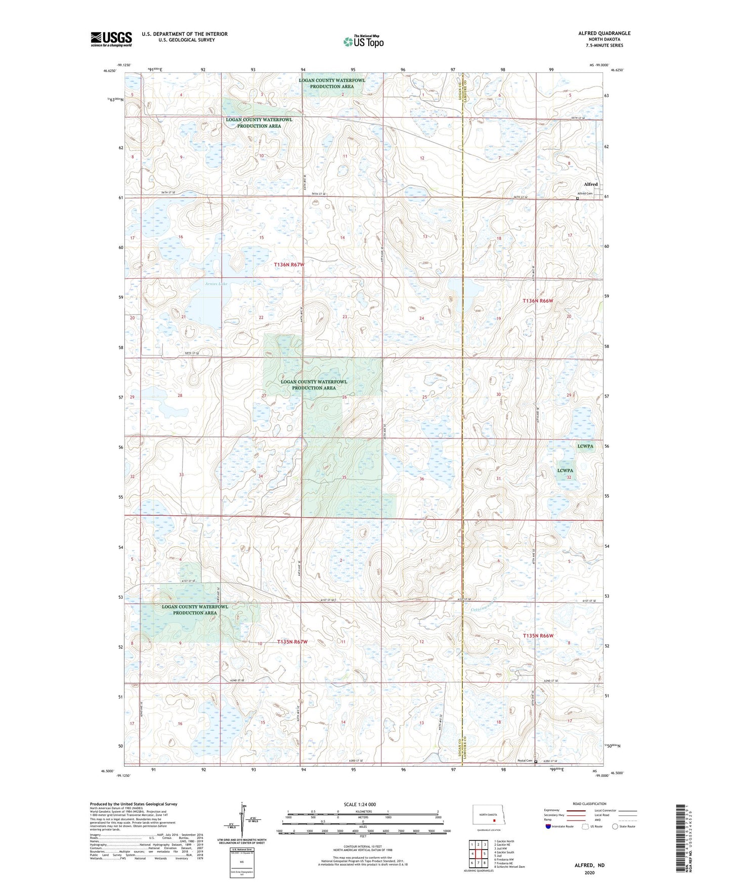
2020 topographic map quadrangle Alfred in the state of North Dakota. Scale: 1:24000. Based on the newly updated USGS 7.5' US Topo map series, this map is in the following counties: Logan, LaMoure. The map contains contour data, water features, and other items you are used to seeing on USGS maps, but also has updated roads and other features. This is the next generation of topographic maps. Printed on high-quality waterproof paper with UV fade-resistant inks.
Quads adjacent to this one:
West: Gackle South
Northwest: Gackle North
North: Gackle NE
Northeast: Jud NW
East: Jud
Southeast: Schlecht-Weixel Dam
South: Fredonia NE
Southwest: Fredonia NW
Contains the following named places: Alfred Cemetery, Arnies Lake, Logan County Waterfowl Production Area, Postal Cemetery, Township of Finn, Township of Gutschmidt