MyTopo
Amorita Oklahoma US Topo Map
Couldn't load pickup availability
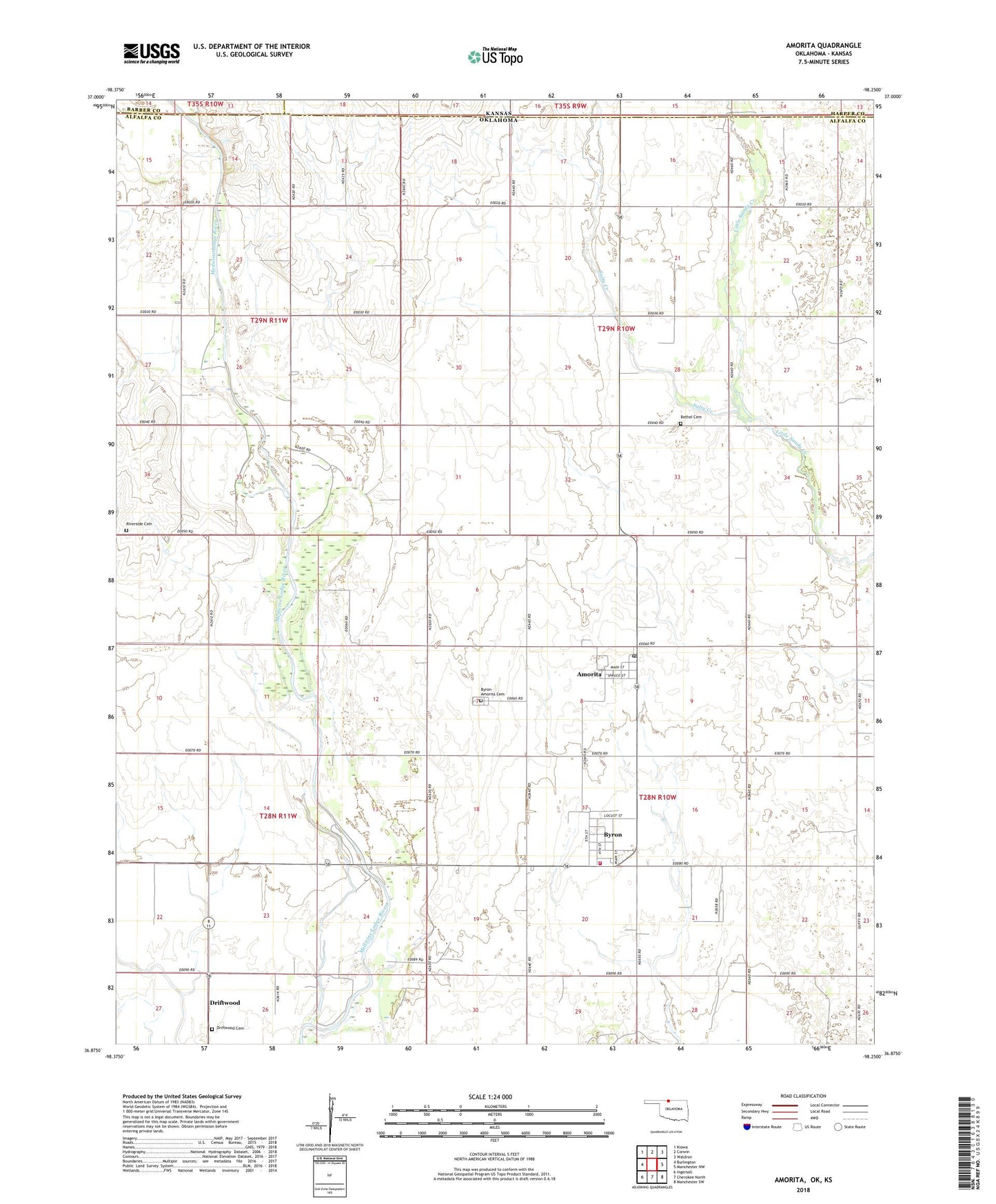
2018 topographic map quadrangle Amorita in the state of Oklahoma. Scale: 1:24000. Based on the newly updated USGS 7.5' US Topo map series, this map is in the following counties: Alfalfa, Harper, Barber. The map contains contour data, water features, and other items you are used to seeing on USGS maps, but also has updated roads and other features. This is the next generation of topographic maps. Printed on high-quality waterproof paper with UV fade-resistant inks.
Quads adjacent to this one:
West: Burlington
Northwest: Kiowa
North: Corwin
Northeast: Waldron
East: Manchester NW
Southeast: Manchester SW
South: Cherokee North
Southwest: Ingersoll
Contains the following named places: Amorita, Amorita - Byron Fire Department, Amorita Post Office, Bethel Cemetery, Byron, Byron-Amorita Cemetery, Driftwood, Driftwood Cemetery, North Alfalfa Division, Riverside Cemetery, Salty Creek, Town of Amorita, Town of Byron, Township of Byron, ZIP Code: 73719