MyTopo
Antelope Hills NE Oklahoma US Topo Map
Couldn't load pickup availability
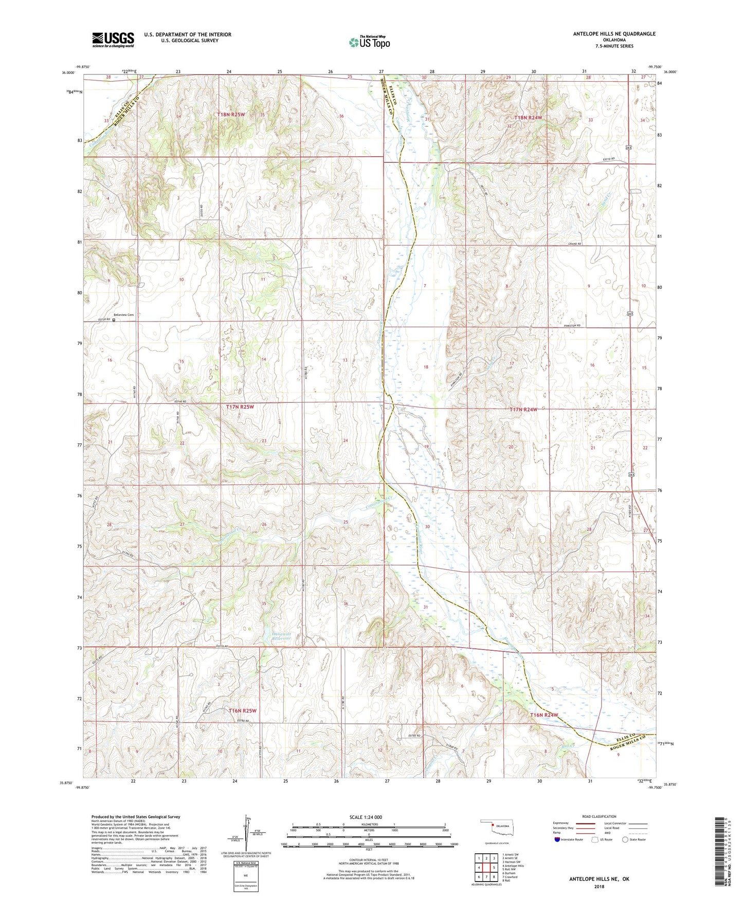
2018 topographic map quadrangle Antelope Hills NE in the state of Oklahoma. Scale: 1:24000. Based on the newly updated USGS 7.5' US Topo map series, this map is in the following counties: Roger Mills, Ellis. The map contains contour data, water features, and other items you are used to seeing on USGS maps, but also has updated roads and other features. This is the next generation of topographic maps. Printed on high-quality waterproof paper with UV fade-resistant inks.
Quads adjacent to this one:
West: Antelope Hills
Northwest: Arnett SW
North: Arnett SE
Northeast: Harmon SW
East: Roll NW
Southeast: Roll
South: Crawford
Southwest: Durham
Contains the following named places: Bachman Dam, Bachman Reservoir, Belleview Cemetery, Bull Creek, Cottonwood Creek, Dugout Creek, Frank McKram Dam, Frank McKram Reservoir, Hanawalt Dam, Hanawalt Reservoir, Johnson Dam, Johnson Reservoir, Sand Creek, Township of Wilcox