MyTopo
Anderson Mountain Oregon US Topo Map
Couldn't load pickup availability
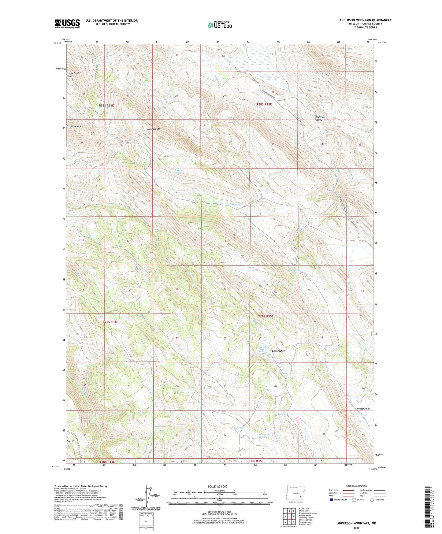
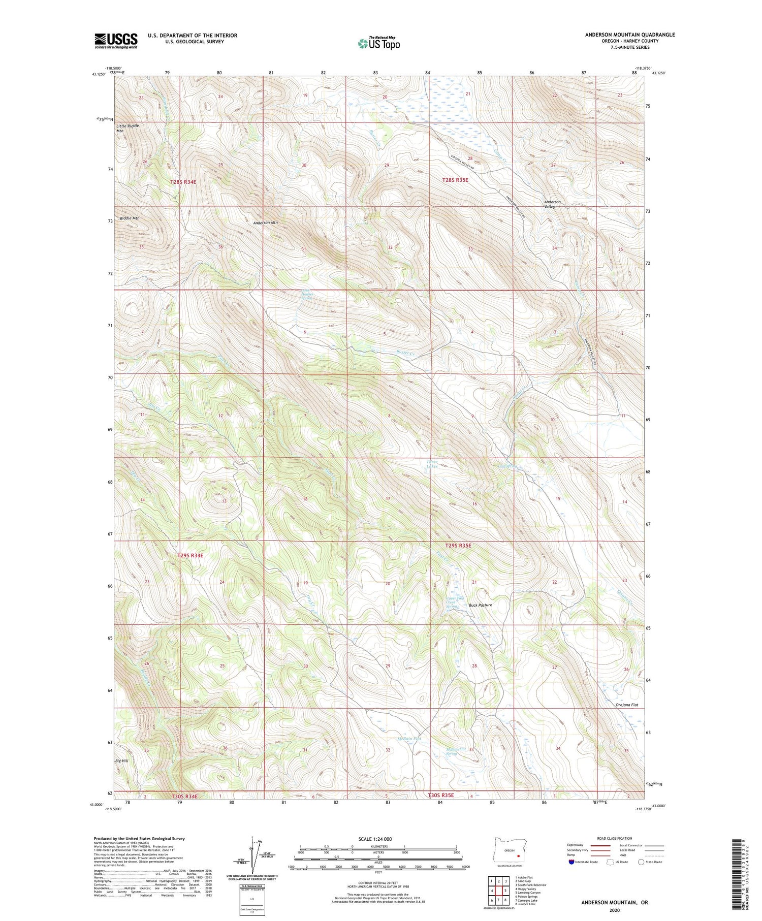
2020 topographic map quadrangle Anderson Mountain in the state of Oregon. Scale: 1:24000. Based on the newly updated USGS 7.5' US Topo map series, this map is in the following counties: Harney. The map contains contour data, water features, and other items you are used to seeing on USGS maps, but also has updated roads and other features. This is the next generation of topographic maps. Printed on high-quality waterproof paper with UV fade-resistant inks.
Quads adjacent to this one:
West: Happy Valley
Northwest: Adobe Flat
North: Sand Gap
Northeast: South Fork Reservoir
East: Lambing Canyon
Southeast: Juniper Lake
South: Comegys Lake
Southwest: Poison Springs
Contains the following named places: Anderson Mountain, Anderson Post Office, Bill Griffin Ranch, Buck Pasture, Cold Spring, Jim Creek, Keuny Cabin, Louie Hughes Spring, McBain Flat, McBain Flat Spring, Mule Post Office, Riddle Mountain Lookout, Three Lakes, Tommies Homestead, Upper Paul Creek Spring