
MyTopo
Barton Lake Oregon US Topo Map
Couldn't load pickup availability
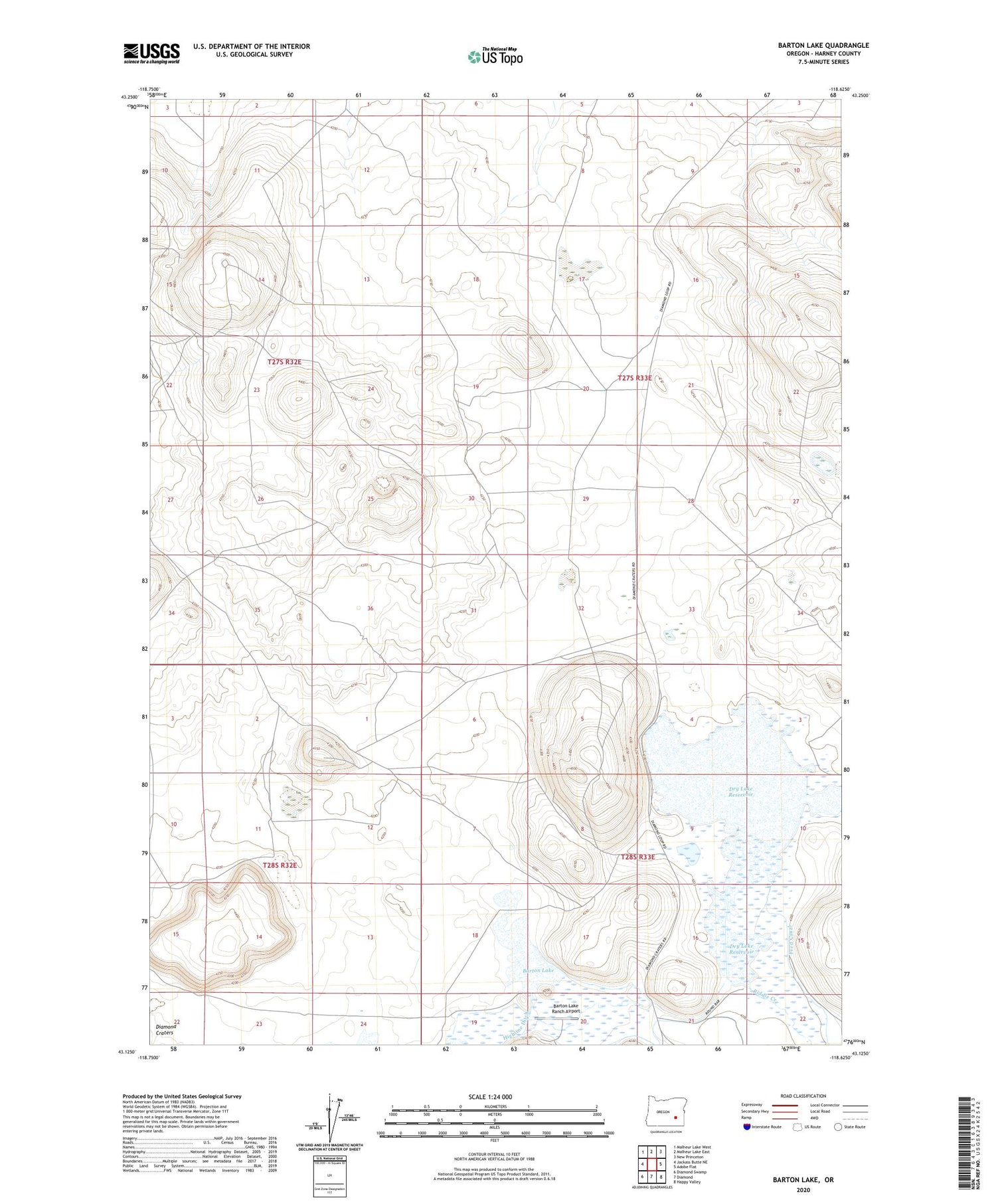
2020 topographic map quadrangle Barton Lake in the state of Oregon. Scale: 1:24000. Based on the newly updated USGS 7.5' US Topo map series, this map is in the following counties: Harney. The map contains contour data, water features, and other items you are used to seeing on USGS maps, but also has updated roads and other features. This is the next generation of topographic maps. Printed on high-quality waterproof paper with UV fade-resistant inks.
Quads adjacent to this one:
West: Jackass Butte NE
Northwest: Malheur Lake West
North: Malheur Lake East
Northeast: New Princeton
East: Adobe Flat
Southeast: Happy Valley
South: Diamond
Southwest: Diamond Swamp
Contains the following named places: Barton Lake, Barton Lake Ranch Airport, Barton Lake Well, Barton Ranch, Beckley Well, Crater Creek, Dry Lake Reservoir, Dry Lake Waterhole, Feed Canal, Pete French Round Barn State Heritage Site, Riddle Creek, Voltage Well


