
MyTopo
Beaverdam Creek Oregon US Topo Map
Couldn't load pickup availability
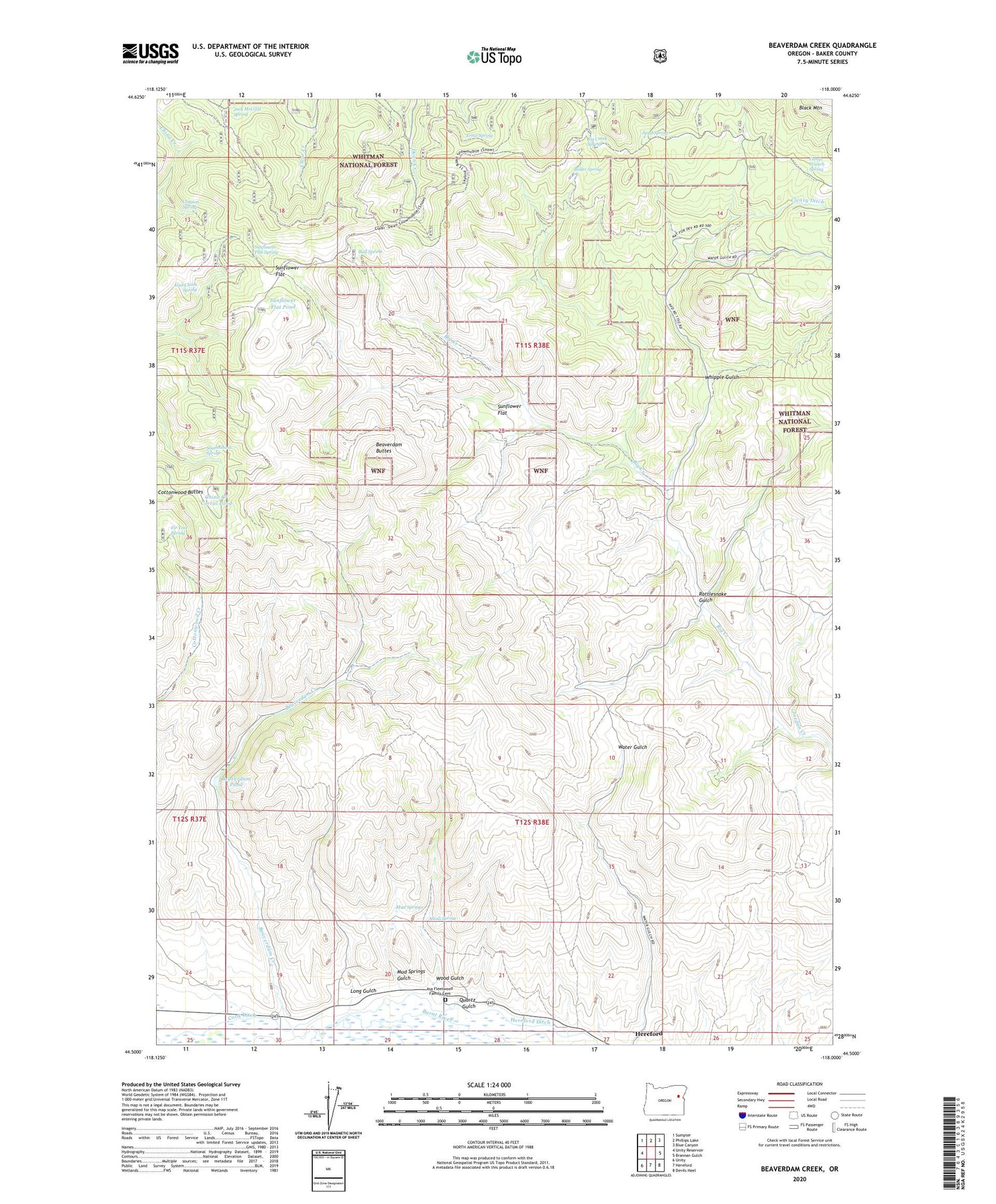
2020 topographic map quadrangle Beaverdam Creek in the state of Oregon. Scale: 1:24000. Based on the newly updated USGS 7.5' US Topo map series, this map is in the following counties: Baker. The map contains contour data, water features, and other items you are used to seeing on USGS maps, but also has updated roads and other features. This is the next generation of topographic maps. Printed on high-quality waterproof paper with UV fade-resistant inks.
Quads adjacent to this one:
West: Unity Reservoir
Northwest: Sumpter
North: Phillips Lake
Northeast: Blue Canyon
East: Brannan Gulch
Southeast: Devils Heel
South: Hereford
Southwest: Unity
Contains the following named places: Alkali Spring, Asa Fleetwood Family Cemetery, Beaverdam Buttes, Beaverdam Creek, Beaverdam Pond, Big Creek Spring, Boiler Spring, Bull Spring, Camp Creek, Camp Crunch Spring, China Creek Corral Pond, Clayton Spring, Cleary Ditch, East China Spring, Ernie Spring, Fir Tree Spring, Hereford Ditch, Hudspeth Corral, Hudspeth Cow Camp, Jack McCord Spring, Jordan Creek, Long Gulch, Mud Springs, Mud Springs Gulch, Quartz Gulch, Rattlesnake Gulch, Sheep Rock, South China Spring, Spud Spring, Sunflower Flat, Sunflower Flat Pond, Sunflower Flat Spring, Whipple Gulch, Wood Gulch, ZIP Code: 97837


