MyTopo
Willowcreek Oregon US Topo Map
Couldn't load pickup availability
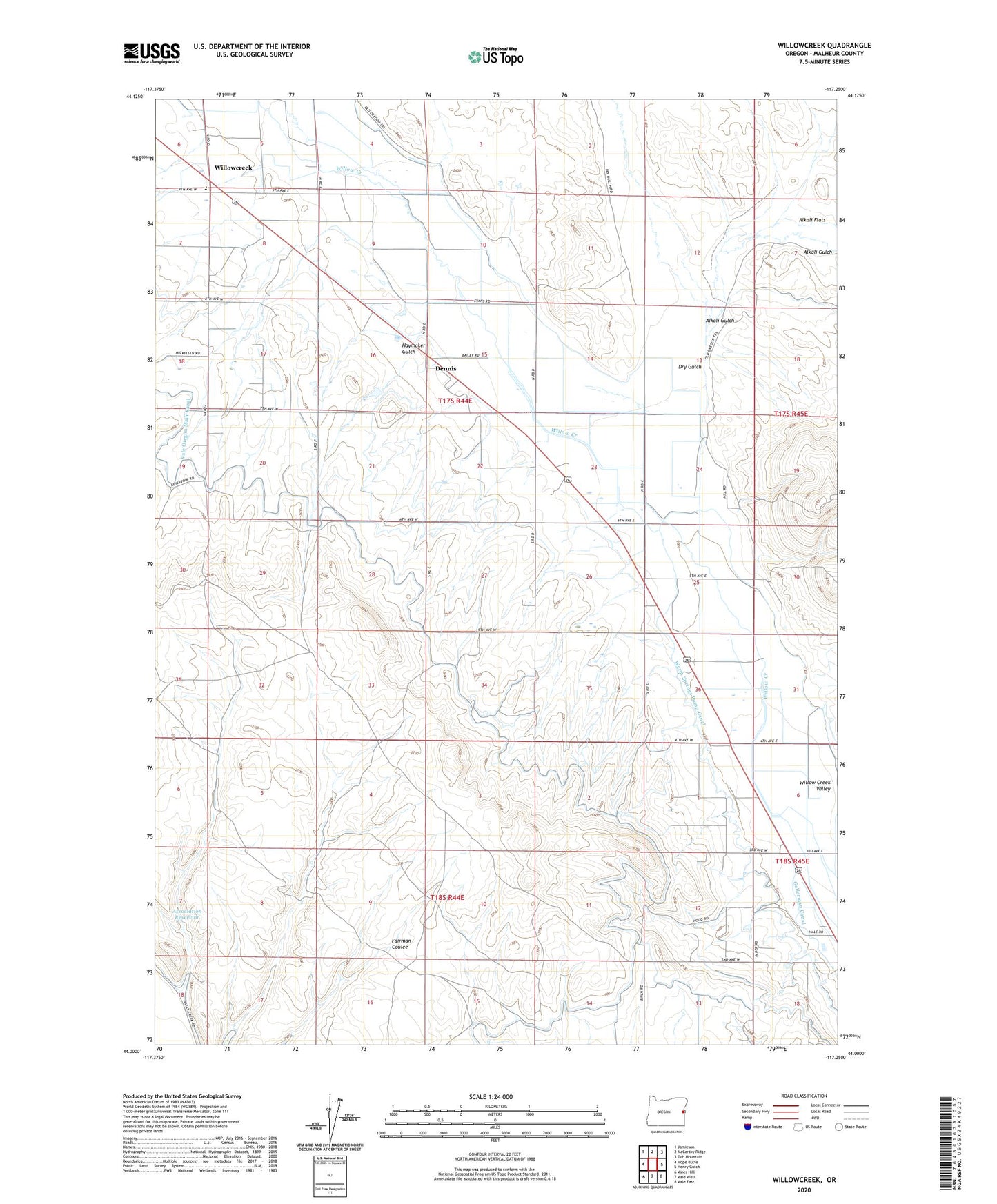
2020 topographic map quadrangle Willowcreek in the state of Oregon. Scale: 1:24000. Based on the newly updated USGS 7.5' US Topo map series, this map is in the following counties: Malheur. The map contains contour data, water features, and other items you are used to seeing on USGS maps, but also has updated roads and other features. This is the next generation of topographic maps. Printed on high-quality waterproof paper with UV fade-resistant inks.
Quads adjacent to this one:
West: Hope Butte
Northwest: Jamieson
North: McCarthy Ridge
Northeast: Tub Mountain
East: Henry Gulch
Southeast: Vale East
South: Vale West
Southwest: Vines Hill
Contains the following named places: Alkali Gulch, Association Reservoir, Dennis, Dry Gulch, Gellerman Canal, Glenn Post Office, Haymaker Gulch, Home, Home Post Office, Vale Division, Warm Springs Pump Canal, Willowcreek, Willowcreek Elementary School, Willowcreek Post Office, ZIP Code: 97918