MyTopo
Brighton South Carolina US Topo Map
Couldn't load pickup availability
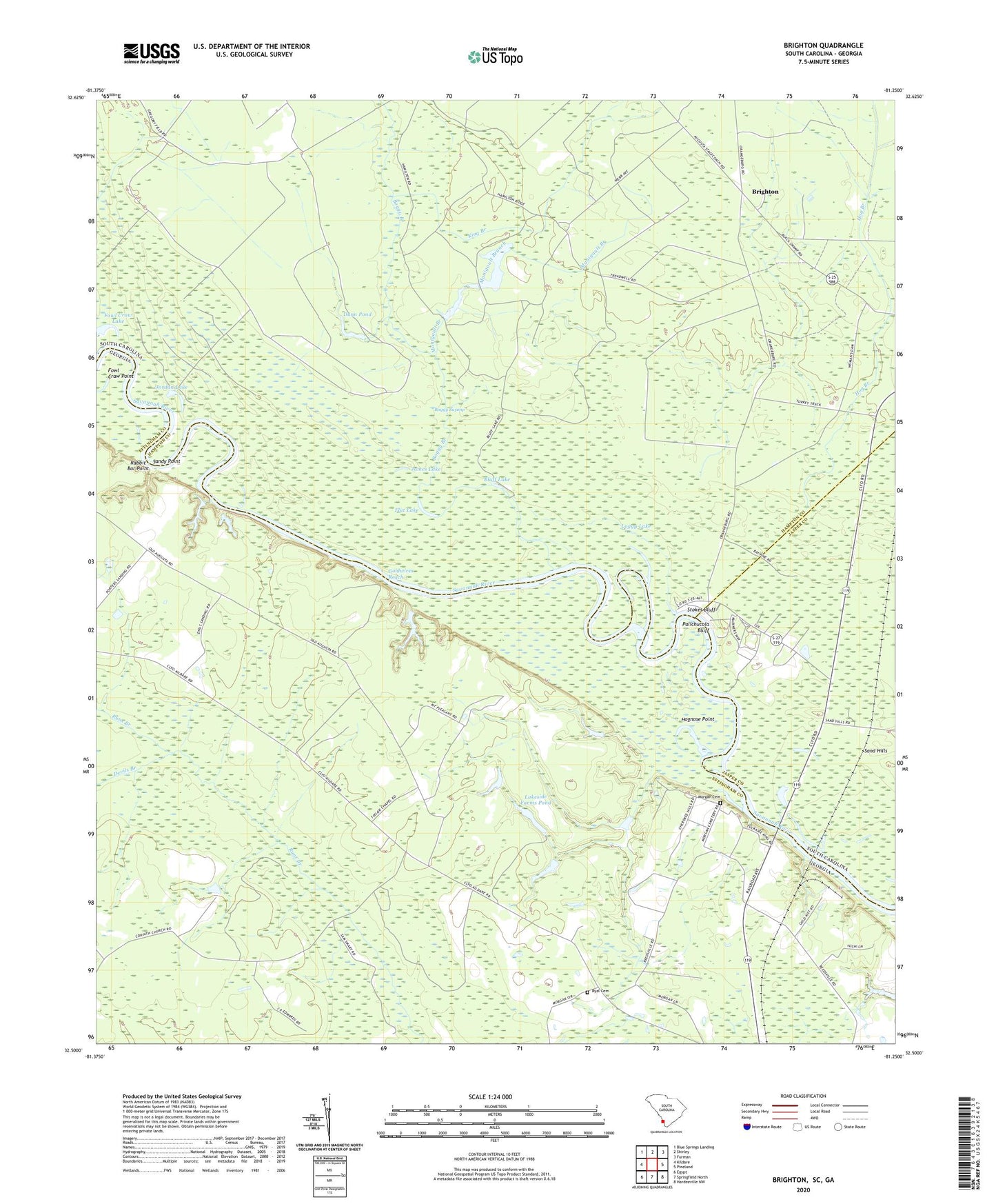
2020 topographic map quadrangle Brighton in the states of South Carolina, Georgia. Scale: 1:24000. Based on the newly updated USGS 7.5' US Topo map series, this map is in the following counties: Hampton, Effingham, Jasper. The map contains contour data, water features, and other items you are used to seeing on USGS maps, but also has updated roads and other features. This is the next generation of topographic maps. Printed on high-quality waterproof paper with UV fade-resistant inks.
Quads adjacent to this one:
West: Kildare
Northwest: Blue Springs Landing
North: Shirley
Northeast: Furman
East: Pineland
Southeast: Hardeeville NW
South: Springfield North
Southwest: Egypt
Contains the following named places: Bluff Lake, Boggy Branch, Boggy Swamp, Brighton, Camel Lake, Cedar Bluff Landing, Devils Branch, Dunn Pond, Flat Lake, Fowl Craw Lake, Fowl Craw Point, Goldwires Reach, Hamilton Ridge CLub, Hodges Pond, Hodges Pond Dam, Hog Branch, Hognose Point, James Lake, James W Webb Wildlife Center and Game Management Area, Jordan Lake, King Branch, King Branch Church, Lakeside Farms Pond, Lakeside Farms Pond Dam, Lebanon School, Loggy Lake, Manigault Branch, Morgan Cemetery, Mount Pleasant Church, Mount Zion Church, Myers, New Zion Holiness Church, Palachucola Club, Palichucola Bluff, Pallachucola School, Paugramorga Club, Rabbit Bar Point, Ryal Cemetery, Sand Ridge School, Sandy Point, Stokes Bluff, Stokes Bluff Landing, Taylor Church, Taylor School, Tuckasee King Landing, Webster Lake, Wildlife Lake Number One D-2609 Dam, Wildlife Lake Number Two D-2610 Dam, ZIP Code: 31303