MyTopo
Zeona NE South Dakota US Topo Map
Couldn't load pickup availability
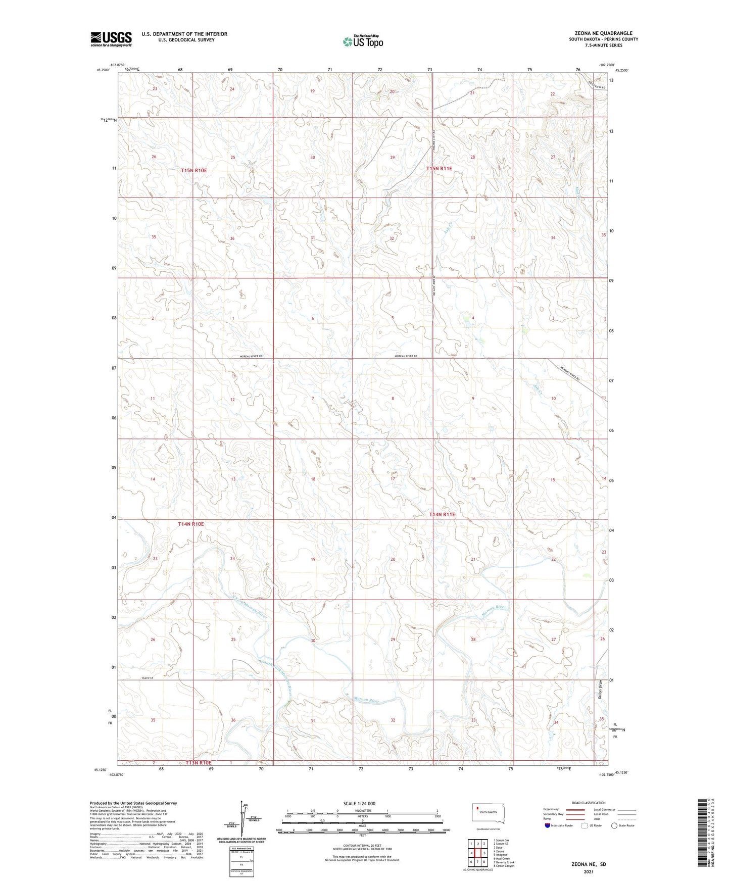
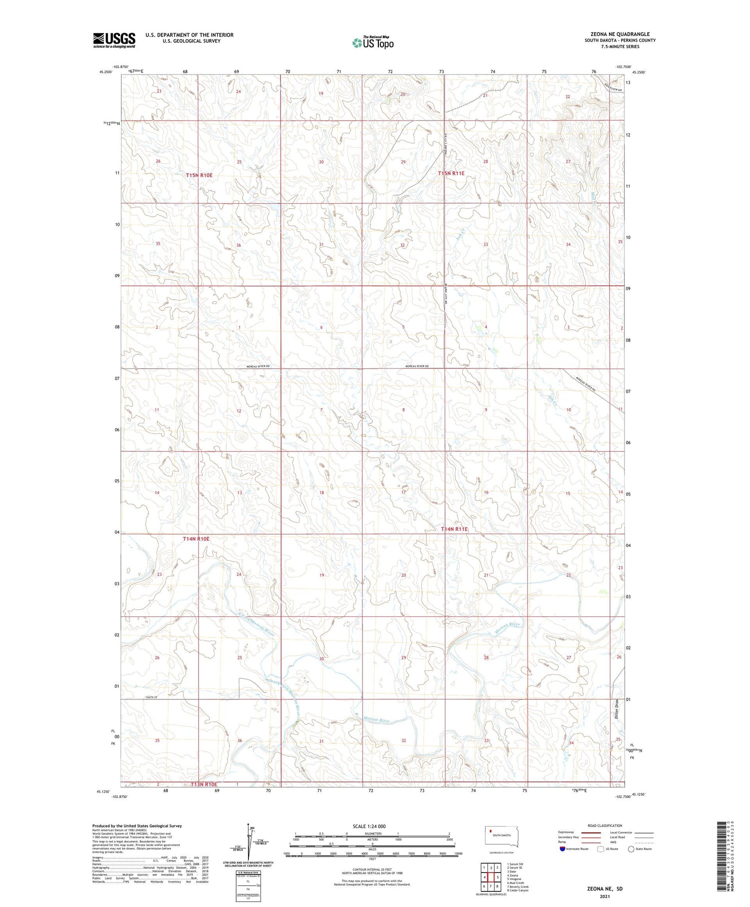
2021 topographic map quadrangle Zeona NE in the state of South Dakota. Scale: 1:24000. Based on the newly updated USGS 7.5' US Topo map series, this map is in the following counties: Perkins. The map contains contour data, water features, and other items you are used to seeing on USGS maps, but also has updated roads and other features. This is the next generation of topographic maps. Printed on high-quality waterproof paper with UV fade-resistant inks.
Quads adjacent to this one:
West: Zeona
Northwest: Sorum SW
North: Sorum SE
Northeast: Date
East: Imogene
Southeast: Cedar Canyon
South: Beverly Creek
Southwest: Mud Creek
Contains the following named places: Miller Brothers Dam, North Fork Moreau River, South Fork Moreau River, State of South Dakota Dam, Township of Dillon, Unorganized Territory of Dillon, Unorganized Territory of Southwest Perkins