MyTopo
Ackerly Texas US Topo Map
Couldn't load pickup availability
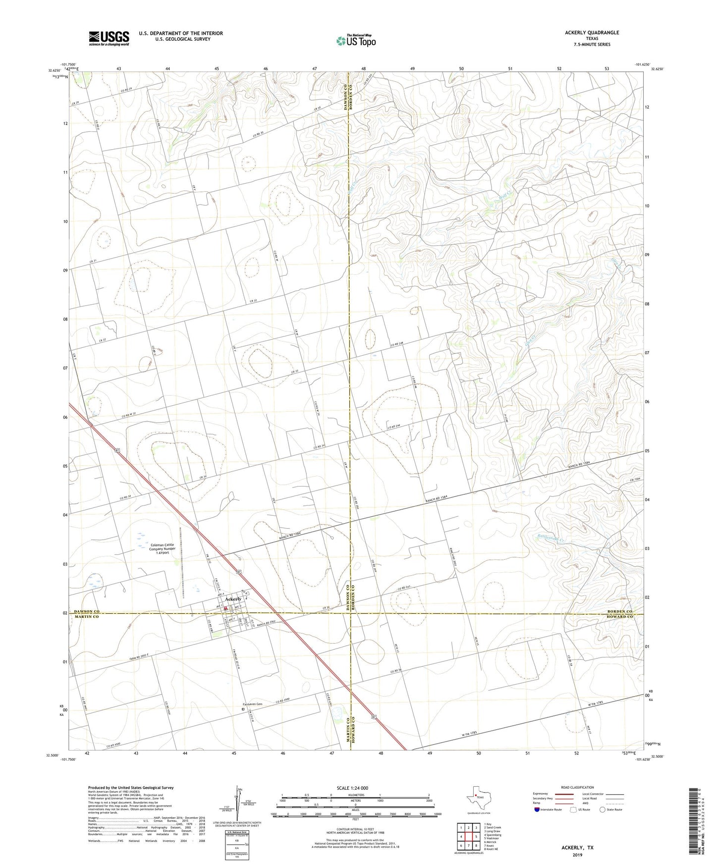
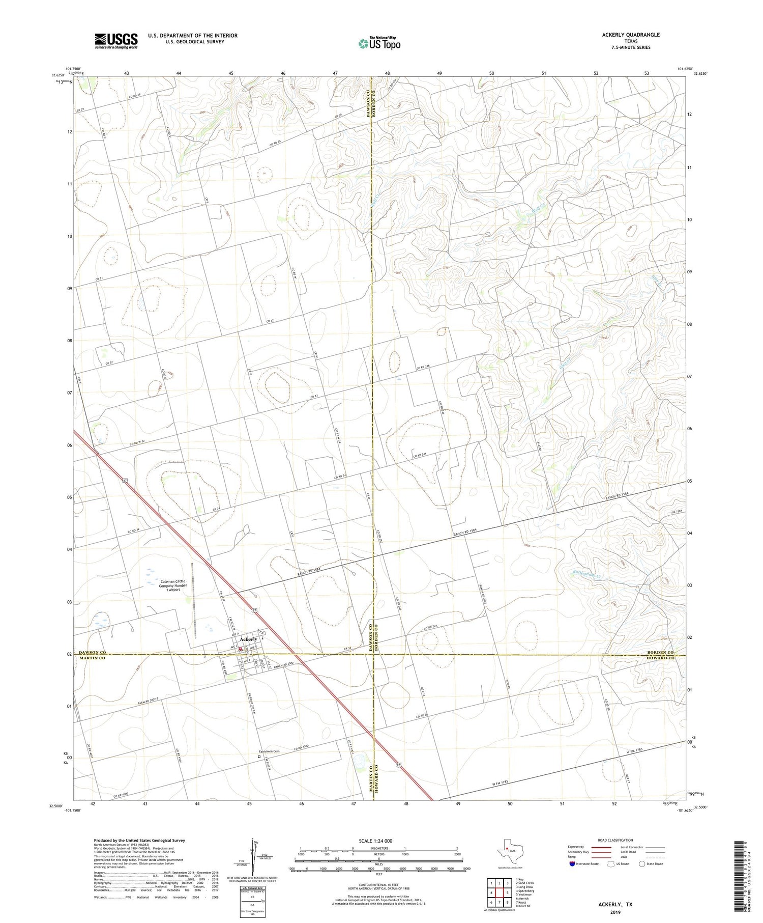
2019 topographic map quadrangle Ackerly in the state of Texas. Scale: 1:24000. Based on the newly updated USGS 7.5' US Topo map series, this map is in the following counties: Borden, Dawson, Howard, Martin. The map contains contour data, water features, and other items you are used to seeing on USGS maps, but also has updated roads and other features. This is the next generation of topographic maps. Printed on high-quality waterproof paper with UV fade-resistant inks.
Quads adjacent to this one:
West: Sparenberg
Northwest: Key
North: Sand Creek
Northeast: Long Draw
East: Vealmoor
Southeast: Knott NE
South: Knott
Southwest: Merrick
Contains the following named places: Ackerly, Ackerly City Hall, Ackerly Post Office, Ackerly Volunteer Fire Department, City of Ackerly, Coleman Cattle Company Number 1 Airport, Fairhaven Cemetery, Old Ackerly Cemetery, Sands Elementary School, Sands High School, Sands School