MyTopo
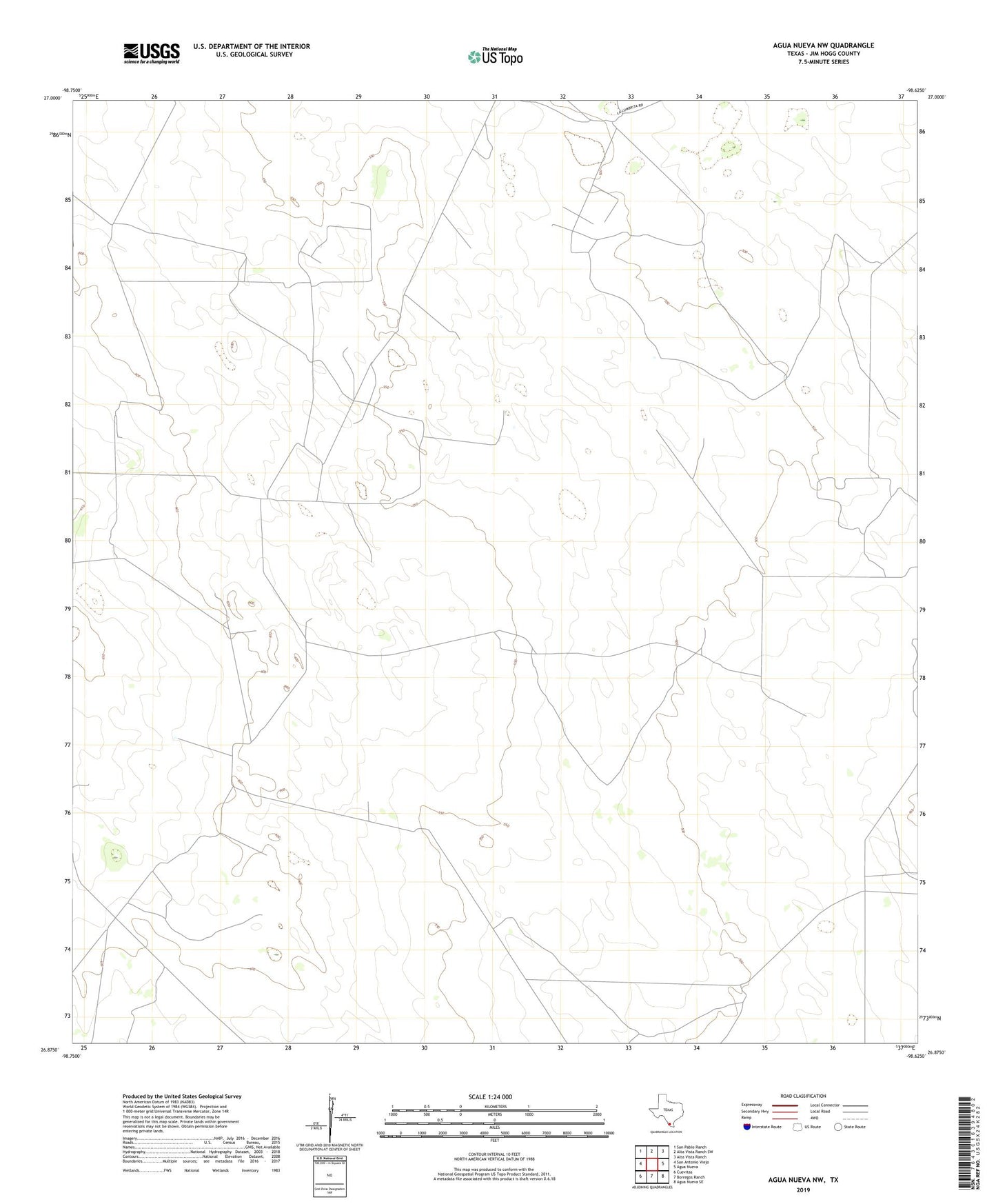
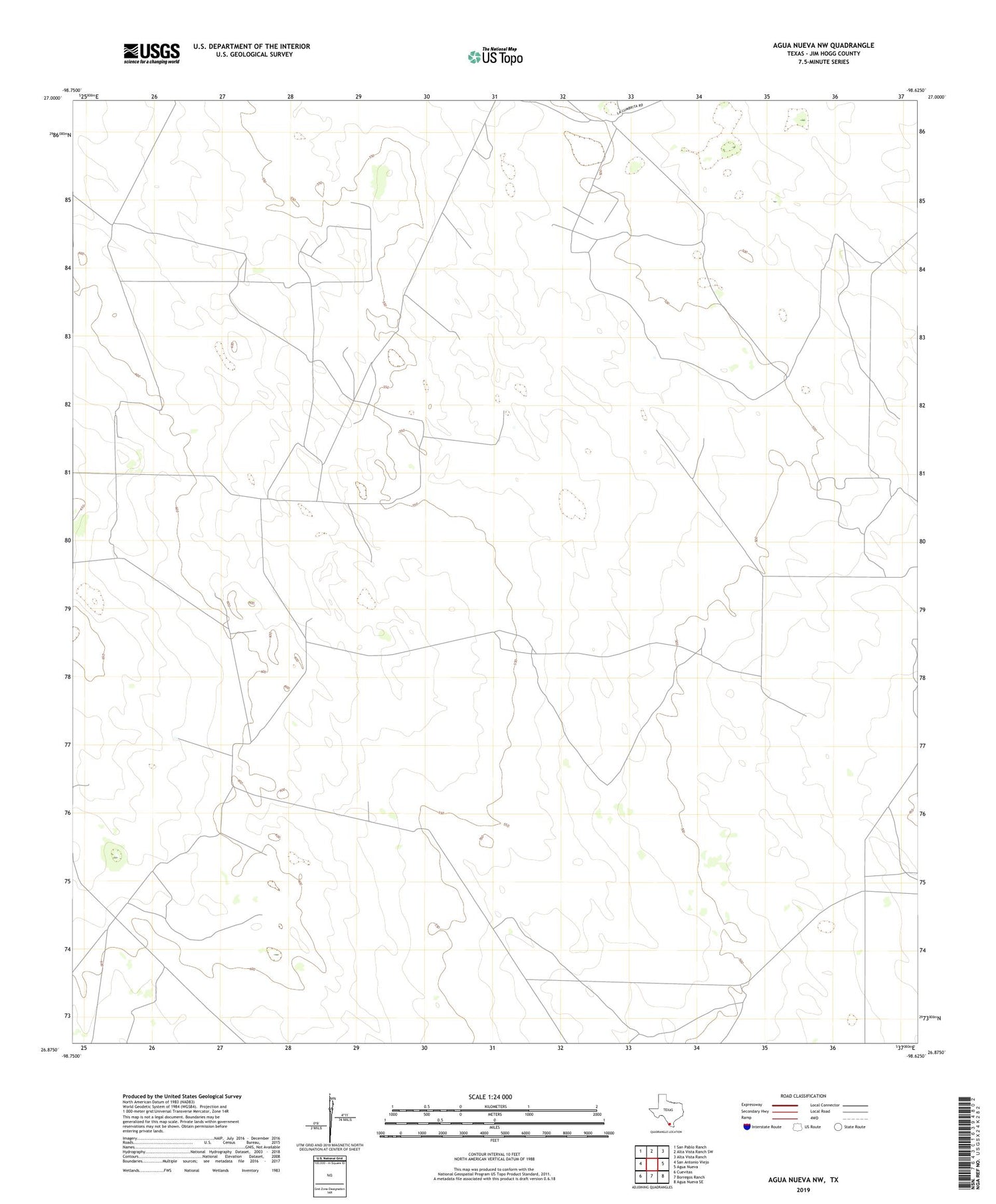
Agua Nueva NW Texas US Topo Map
Couldn't load pickup availability
2019 topographic map quadrangle Agua Nueva NW in the state of Texas. Scale: 1:24000. Based on the newly updated USGS 7.5' US Topo map series, this map is in the following counties: Jim Hogg. The map contains contour data, water features, and other items you are used to seeing on USGS maps, but also has updated roads and other features. This is the next generation of topographic maps. Printed on high-quality waterproof paper with UV fade-resistant inks.
Quads adjacent to this one:
West: San Antonio Viejo
Northwest: San Pablo Ranch
North: Alta Vista Ranch SW
Northeast: Alta Vista Ranch
East: Agua Nueva
Southeast: Agua Nueva SE
South: Borregos Ranch
Southwest: Cuevitas
Contains the following named places: Agua Verde Windmill, Atole Windmill, Barbacoa Windmill, Borregos Windmill, Buenos Aires Windmill, Canello Windmill, Casa Blanca Windmill, Coma Windmill, Corrales Windmill, Descalso Windmill, East Oil Field, El Sauz Windmill, Farris Windmill, Gas Well Lilly Windmill, Hayes Windmill, Huisache Windmill, Indiana Windmill, Jardin Windmill, Leoncitos Windmill, Little Jardin Windmill, Little Medanito Windmill, Paisano Windmill, San Felipe Windmill, San Pedro Windmill, Santo Domingo Windmill, South Jim Hogg Division, Venada Brazil Windmill, Venada Ranch, Venada Windmill, Weil Ranch