MyTopo
Ant Knoll Utah US Topo Map
Couldn't load pickup availability
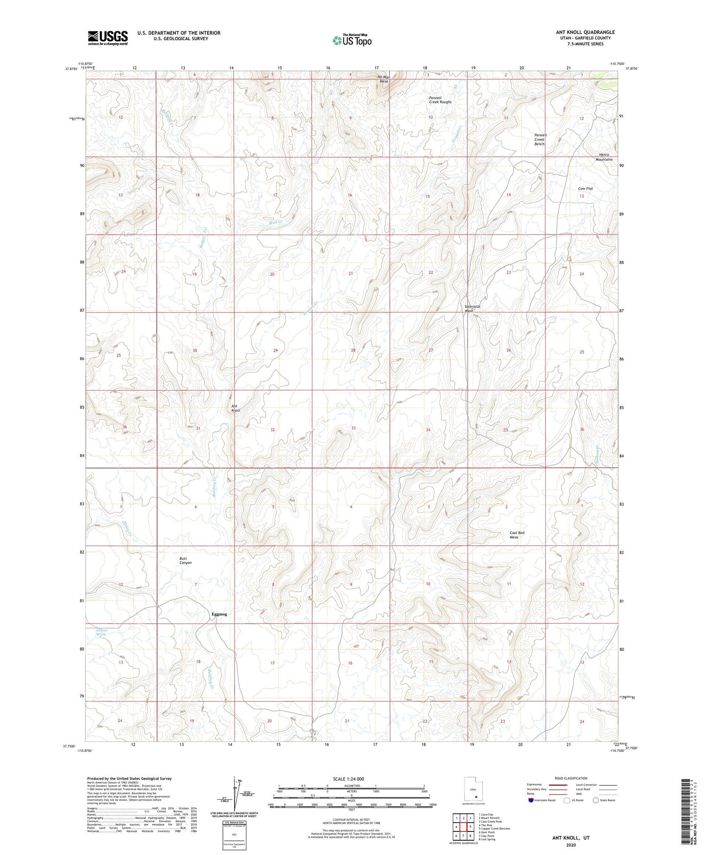
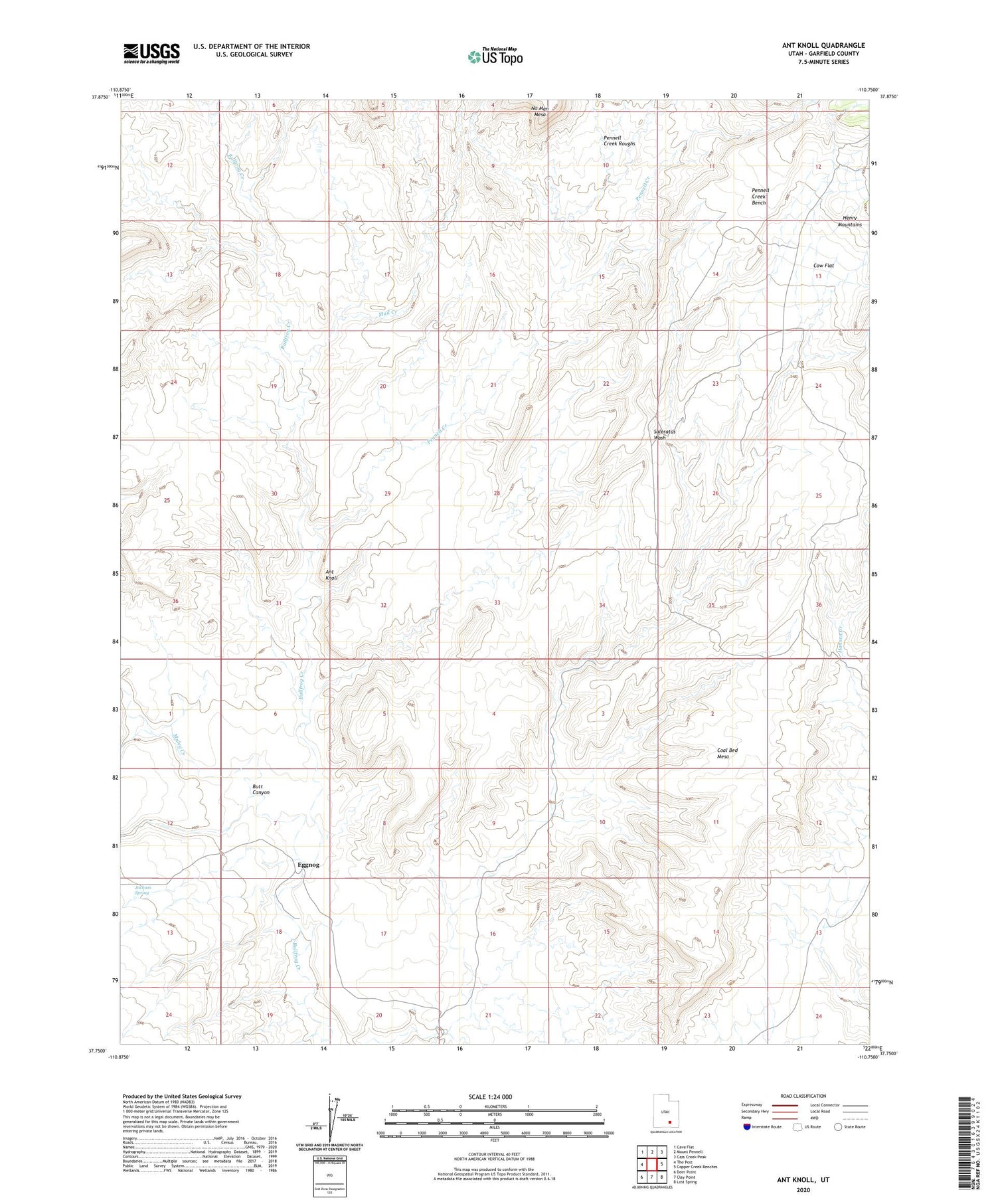
2020 topographic map quadrangle Ant Knoll in the state of Utah. Scale: 1:24000. Based on the newly updated USGS 7.5' US Topo map series, this map is in the following counties: Garfield. The map contains contour data, water features, and other items you are used to seeing on USGS maps, but also has updated roads and other features. This is the next generation of topographic maps. Printed on high-quality waterproof paper with UV fade-resistant inks.
Quads adjacent to this one:
West: The Post
Northwest: Cave Flat
North: Mount Pennell
Northeast: Cass Creek Peak
East: Copper Creek Benches
Southeast: Lost Spring
South: Clay Point
Southwest: Deer Point
Contains the following named places: Ant Knoll, Butt Canyon, Coal Bed Mesa, Cow Flat, Eggnog, Jackass Spring, Mud Creek, Muley Creek, Pennell Creek, Pennell Creek Bench, Stanton Mine